Mike Breiding's Epic Road Trips ~2016~
Wheeling to Tucson
Idaho to Oregon
Redmond Oregon: Deschutes River, Crooked River Gorge and Smith Rock State Park
Wheeling to Tucson
Redmond Oregon: Deschutes River,
Crooked River Gorge and Smith Rock State Park
On Tuesday morning we departed Arco while it was still pitch black. We had at least a 9 hour drive in front of us and we wanted to get an early start.
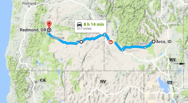
Our route would be pretty straight forward today - 500 miles west on US Rt 20 all the way to Bend, then about 20 miles north up US Rt 97 to Redmond.
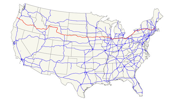
US Rt 20 runs from Massachusetts to Oregon and at 3,365 miles is the longest road in the US.
U.S. Route 20 (US 20) is an east–west United States highway. The "0" in its route number indicates that US 20 is a coast-to-coast route. Spanning 3,365 miles (5,415 km), it is the longest road in the United States, and the route roughly parallels that of Interstate 90 (I-90). There is a discontinuity in the official designation of US 20 through Yellowstone National Park, with unnumbered roads used to traverse the park.
The highway's eastern terminus is in Boston, Massachusetts, at Kenmore Square, where it meets State Route 2. Its western terminus is in Newport, Oregon, at an intersection with US 101, within a mile of the Pacific Ocean.
Source: WikiPedia
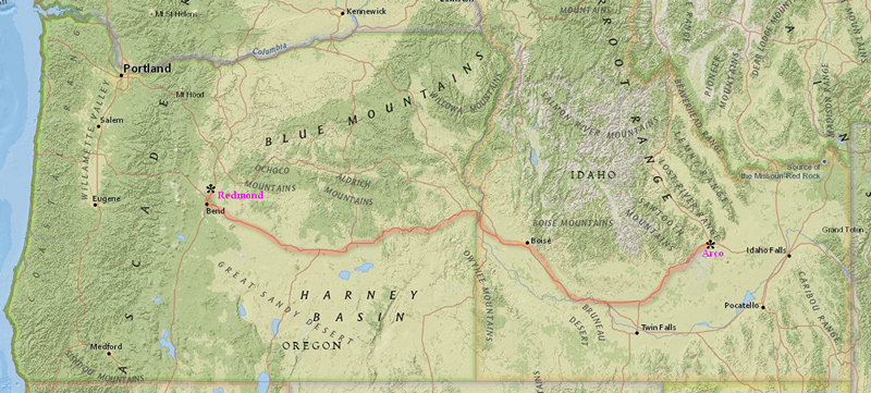
This rather crude map is included to give you an idea of the terrain through which US 20 took us today. Much of it was very scenic with wide to narrow valleys, big basins and always the back drop of the mountains - some big, some not. The Harney Basin shown here in Oregon is where this past January's terrorist activity took place.
Want the big picture? Click on the map.
The 500 plus miles on US 20 to Redmond is somewhat of a blur now. Most of the area we went through was high desert dominated by agriculture and ranching.
US 20 goes through Harney County home to the town of Burns. Burns has been in the news of late. Burns is the gateway town for Malheur National Wildlife Refuge where Ammon Bundy and his gang of terrorists thugs staged an armed occupation of the Malheur HQ for nearly a month.
On January 2, 2016, armed militants seized the headquarters of the Malheur National Wildlife Refuge in Harney County, Oregon, United States, and continued to occupy it until law enforcement made a final arrest on February 11, 2016. Their leader was Ammon Bundy, who participated in the 2014 Bundy standoff at his father's Nevada ranch. Other members of the group were loosely affiliated with non-governmental militias and the sovereign citizen movement.
By January 28, only four militants remained in occupation of the site, and the last of them surrendered peacefully on February 11, 2016. More than two dozen of the militants have been charged with federal offenses including conspiracy to obstruct federal officers, firearms violations, theft, and depredation of federal property. As of August 15, twelve have pleaded guilty, while others are awaiting trial.
On October 27, 2016, a federal jury acquitted seven of the defendants, including Ammon and Ryan Bundy, of all federal charges.
Source: WikiPedia
I don't know about you but I find it very hard to believe anyone would find the armed occupation violated no laws let alone a jury who is sworn to uphold the law.

The Bundy Gang (L-R) Cliven (pappy), Ryan, Ammon - terrorists all?
Or just spoiled brats who want to be on the taxpayers teet?
Cliven Bundy still owes the U.S. taxpayers $1 million in unpaid grazing fees. What are the feds doing to collect it?
“After 20 years and multiple court orders to remove the trespass cattle, Mr. Bundy owes the American taxpayers in excess of $1 million,” Kornze said. “The BLM will continue to work to resolve the matter administratively and judicially.”
Read more...
Leaving the Bundy Boys behind we motored westward and rolled into Redmond around 4:00. It might have been earlier had it not been for some slow going around the area of Ontario ID and Cairo OR. And since I did not do my homework I plotted a route which took us through Bend which had heavy traffic all the way through. Plus we missed a turn and had to stop and get directions. I hate having this shit happen after a long day behind the wheel.
I have to say planning trips to this part of Oregon has never been a priority. This part of Oregon is high and dry and previously Betsy and I had only been in this area to visit the Malheur National Wildlife Refuge. But earlier in the year, Denny, one of our Tucson Estates neighbors called us up with an offer we could not refuse - spending a few days visiting outside of Redmond at Eagle Crest where he had a timeshare for the week. If we had not had this gracious invitation it is hard to say when we would have been in this area. Now that we have, I find myself wanting to plan a return trip.
After Denny got us settled into our luxurious accommodations we got down to some serious business - Happy Hour during which time we talked a bit about our upcoming stay and something of more immediate importance - dinner. After some discussion we decided on a place.

Denny took this with his phone whilst we were supping at The Pig And Pound Public House . The pints and fish and chips were tasty for the most part. One of my pieces of fish was not properly cooked and still had some rather unappetizing and gooey batter on it. I thought the servings a bit on the small side.
Our first day in Redmond broke rainy and cool but by early afternoon we were able to get out for a walk. Where Denny was staying we could walk out the front door and onto the trail system that goes down to the Deschutes River.
I was stunned to see the size of the Western Junipers (Juniperus occidentalis)! I had no idea any juniper species could get this big and old.
As it turns out they get much older and bigger than this.
The Bennett Juniper in the Stanislaus National Forest of California is considered the oldest and largest example at possibly 3000 years old, with a height of 26 m and a diameter of 3.88 m.
Source: WikiPedia
This was the first of many such fine specimens we would see while in the Redmond area.
This section of the Deschutes was shallow, clear and swift running.
The trail meandered along the Deschutes, sometimes climbing the river bank where we were able to get a different perspective on the river.
This view of the river conjured up images of fly fishin' and skinny dippin'.
The Deschutes River in central Oregon is a major tributary of the Columbia River. The river provides much of the drainage on the eastern side of the Cascade Range in Oregon, gathering many of the tributaries that descend from the drier, eastern flank of the mountains. The Deschutes provided an important route to and from the Columbia for Native Americans for thousands of years, and then in the 19th century for pioneers on the Oregon Trail. The river flows mostly through rugged and arid country, and its valley provides a cultural heart for central Oregon. Today the river supplies water for irrigation and is popular in the summer for whitewater rafting and fishing.
The river flows generally north, as do several other large Oregon tributaries of the Columbia River, including the Willamette and John Day.
Source: WikiPedia
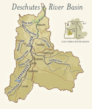
Here is a good overview of the Deschutes River Basin provided by the Deschutes River Conservancy.
Note the Crooked River on the right. More about that later.
We saw several homes and condos perched at cliff's edge. Wouldn't this be a nice place to set a spell?
This looks like it could be a pretty remote spot but we are just minutes from condos, a golf course and a busy roadway.
When the trail left the riverbank it switch backed up the hill providing this view. Notice how all the junipers have branches starting at about the same height. Deer browsing perhaps?
The morning of Thursday October the 6th was brisk, sunny and clear. Perfect weather for the two outings we had planned.
Our first stop was Peter Skene Ogden State Scenic Viewpoint.
Oregon History
Peter Skene Ogden
This park is named for Peter Skene Ogden, 1793-1854. In the fall of 1825, Ogden led a Hudson's Bay Company trapping party on the first recorded journey into central Oregon, crossing the country to the north and east into the Crooked River Valley not far above here. He was in the vicinity again in 1826 bound for the Harney Basin and the Klamath Region where he discovered Mount Shasta. Ogden was an important figure in the early fur trade and ranged over all the west. He rescued the survivors of the Whitman Massacre.
Ogden, Utah, was named for him.
My thanks to Betsy for the sign transcriptions!
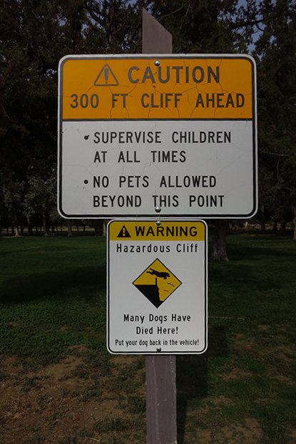
This sign gave us a little hint of what we were soon to see.
These vertical basalt cliffs are why "Many Dogs Have Died Here!"
The river which carved this impressive gorge is the Crooked River.
The Crooked River is a tributary, 125 miles (201 km) long, of the Deschutes River in the U.S. state of Oregon. The river begins at the confluence of the South Fork Crooked River and Beaver Creek. Of the two tributaries, the South Fork Crooked River is the larger and is sometimes considered part of the Crooked River proper. A variant name of the South Fork Crooked River is simply "Crooked River".The Deschutes River flows north into the Columbia River.
Source: WikiPedia
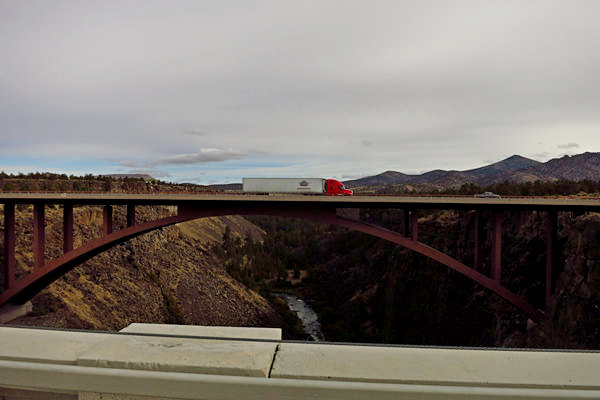
This is just one of three bridges which can be seen from cliff's edge at Peter Skene Ogden State Scenic Viewpoint.
The bridge is 320 feet (98 m) above the river and when it was completed in 1911, it was the second-highest railroad bridge in the United States. It is a steel two-hinge arch span with a total length of 460 feet (140 m).
The crossing of the Crooked River played a critical role in the competition to build a railroad up the Deschutes River Valley. The incentive for railroad construction was reaching the vast stands of timber south of Bend. The Oregon Trunk Railway, a subsidiary of the Spokane, Portland and Seattle Railway owned by Jim Hill of the Great Northern Railway, started up the west side of the Deschutes while the Des Chutes Railroad, owned by Edward Harriman of the Union Pacific, started up the east side.
At North Junction, approximately 65 miles (105 km) south of the Columbia River, Hill's Oregon Trunk crossed over to the east bank. At 126 miles (203 km) both railroads would have had to cross a major tributary of the Deschutes, the Crooked River. There was only one place where the cliffs on both sides were close enough to build a bridge. Jim Hill had obtained the rights to the location when his Oregon Trunk Railroad acquired the Central Oregon Railroad Company on December 1, 1909. The Central Oregon had laid no track and the rights to the bridge site were its principal asset. Hill's acquisition of the location forced Harriman to negotiate a settlement whereby the Oregon Trunk, Hill's railroad, would own almost the entire line from the Columbia to Bend but Harriman's company would have the right to use the track.
Source: WikiPedia
This is looking north west from the south end of Peter Skene Ogden State Scenic Viewpoint. The Crooked River continues on north until it joins with the Deschutes River just to the west of Metolius.
The Oregon Encyclopedia - a Project of the Oregon Historical Society has an interesting article about the history of the Crooked river.
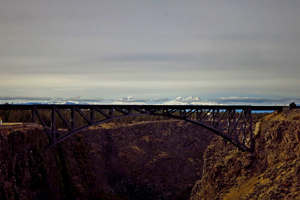
Here is bridge number two.
The Crooked River High Bridge is a steel arch bridge that spans the Crooked River gorge in Jefferson County, Oregon. The bridge was designed by Conde McCullough and was completed in 1926. Shortly after its completion, Oregon State Highway Division created the Peter Skene Ogden Park just to the south of the bridge.
The bridge has a total length of 464 feet (141 m) with a main span of 330 feet (100 m). The deck is 295 feet (90 m) above the gorge floor. The bridge was eventually unable to keep up with the growing traffic demands of US 97, and was replaced by the wider Rex T. Barber Veterans Memorial Bridge. The old bridge is open to pedestrians.
Source: WikiPedia
The south end of the Crooked River High Bridge.
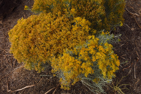
I spotted this Turpentine bush (Ericameria laricifolia) near the south end of the Crooked River High Bridge.
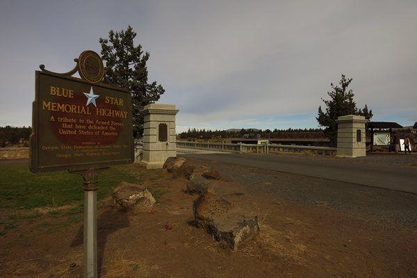
Oregon Scenic Highways
This magnificent view is preserved and protected by the efforts of the Oregon Roadside Council, which initiated and secured the passage of the Oregon Scenic Areas Act in 1961. 3585 scenic miles of highways were surveyed and selected by the Council, and adopted by the State Scenic Area Board. More than 7,000 signs and billboards which detracted and obscured scenic vistas were removed.
The Oregon Roadside Council, organized in 1932 by the Oregon State Federation of Garden Clubs, is a volunteer group dedicated to the preservation and conservation of Oregon's greatest asset - her scenic beauty.
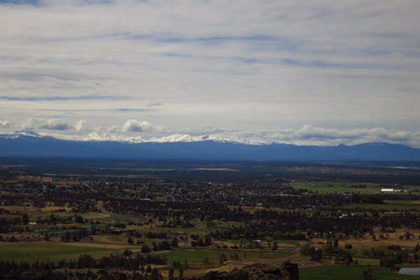
The Crooked River High Bridge makes a nice photo with the snow capped peaks in the background.
Here is bridge number three: the Rex T. Barber Veterans Memorial Bridge as seen from the The Crooked River High Bridge.
The Rex T. Barber Veterans Memorial Bridge is a concrete arch bridge in the western United States; it spans the Crooked River gorge in Jefferson County in central Oregon. Designed by T. Y. Lin International, the bridge was completed in 2000 to replace the Crooked River High Bridge. Parallel and west, the older bridge was built in 1926 and was not wide enough to accommodate increased traffic on US 97.
The bridge has a total length of 535 ft (163.1 m), an arch span of 410 ft (125.0 m) and is situated 300 ft (91.4 m) above the gorge floor. It was the first bridge in the United States to use a cast-in-place segmental method of construction.
Initially named the Crooked River Bridge, it was renamed in 2003 for Rex T. Barber (1917–2001), a native of the area. A World War II fighter pilot in the Pacific Theater, Barber shot down the plane carrying Japanese Admiral Isoroku Yamamoto in 1943.
Source: WikiPedia
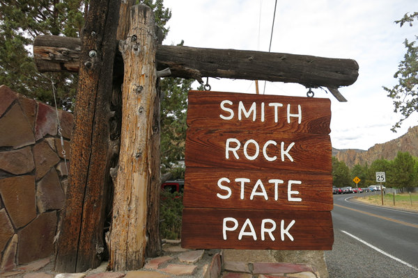
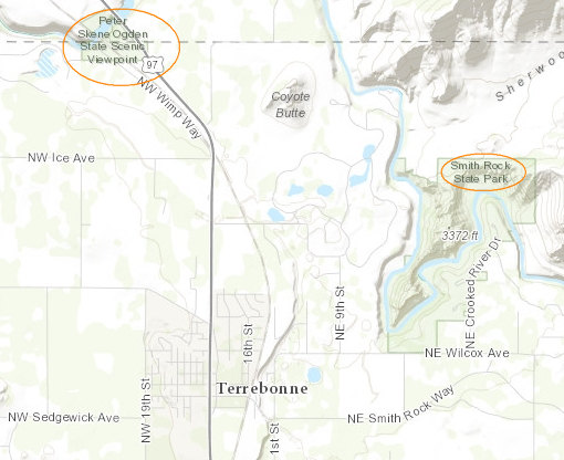
Now we get to see the Crooked River from a different point of view. Just up the road and only minutes away from the Crooked River Gorge is Smith Rock State Park.
Smith Rock State Park is an American state park located in central Oregon's High Desert near the communities of Redmond and Terrebonne. Its sheer cliffs of tuff and basalt are ideal for rock climbing of all difficulty levels. Smith Rock is generally considered the birthplace of modern American sport climbing, and is host to cutting-edge climbing routes. It is popular for sport climbing, traditional climbing, multi-pitch climbing, and bouldering.
Source: WikiPedia
"The "tuff" mentioned above is compacted layers of volcanic ash."
Sport climbing is a form of rock climbing that relies on permanent anchors fixed to the rock for protection. This is in contrast to traditional climbing where climbers must place removable protection as they climb.
Bouldering is a form of rock climbing that is performed without the use of ropes or harnesses. And as you might have guessed, boulders are "climbed" rather than a vertical rock face.
In 2005 while on my very first EpicRoadTrip I stopped in Hueco Tanks State Park while on my way through Texas. Hueco Tanks is a bouldering mecca for rock jocks the world over.

I had lots of fun watching the boulder action.
Especially the young French girl shown above. She really had nice form!
OK! Back to Smith Rock State Park !
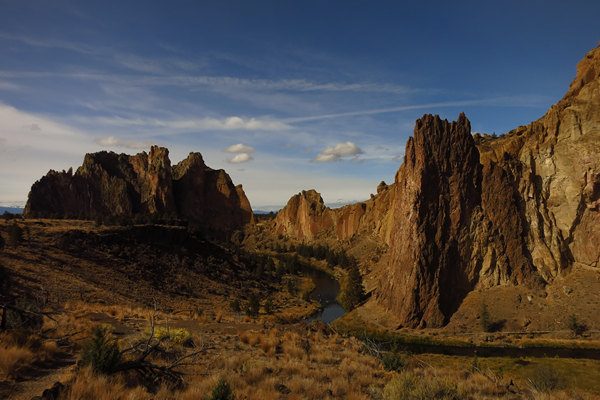
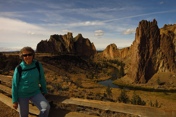
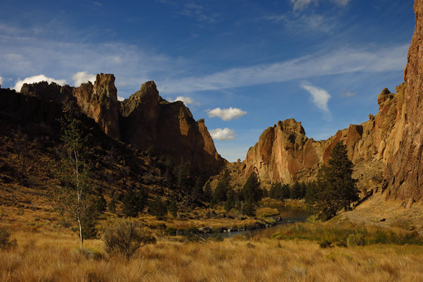
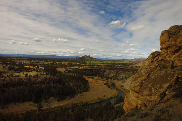
WOW! That was the first thing out of my mouth when I saw this stunning view. This is just a few short miles from Peter Skene Ogden State Scenic Viewpoint.
It seems there are little cuties at all the cool rock climbing places.
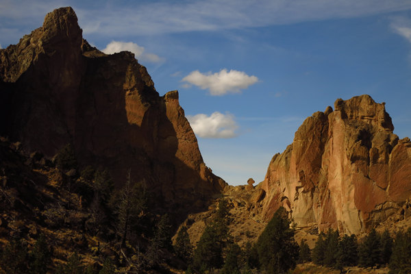
This is the kind of scenery where it is difficult to keep the finger off the shutter button.
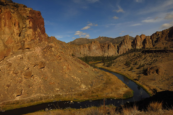
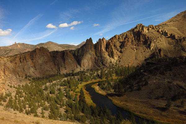
This shot was taken from the overlook in the previous photo. There are two trails visible here, one along the Crooked River and one up high against the cliff face. We would be taking the latter.
Here is where we will be going - down to the river, across the bridge and then up, up, up to the summit before we cross over to the backside. A trail map is here.
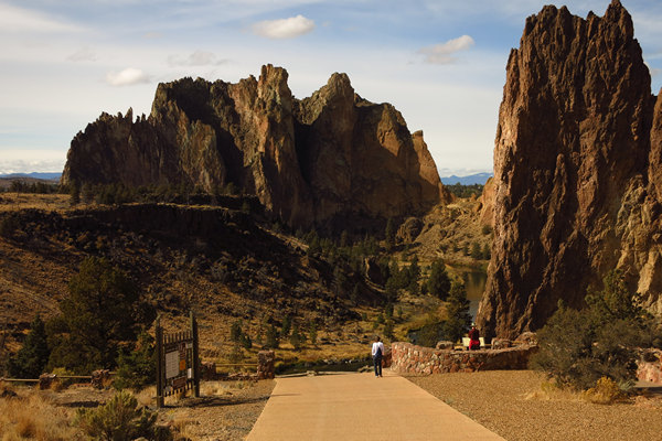
This was shot partway down the wide access path to the river and trails.
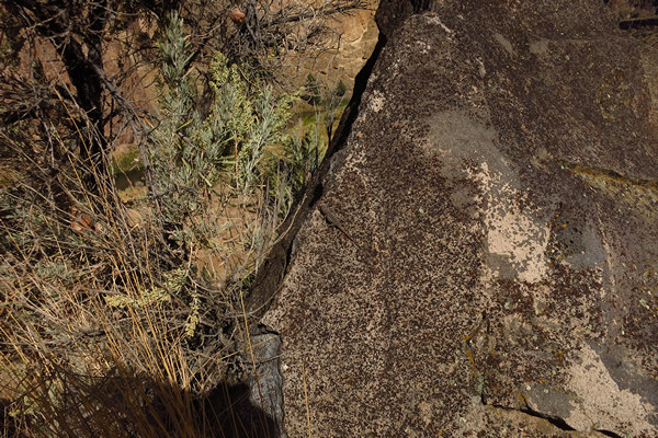
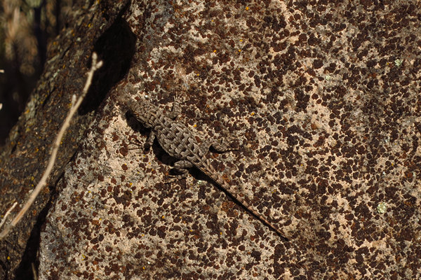
On the way down to the river we spotted this lizard. Can you see it?
Very well camouflaged wouldn't you say?
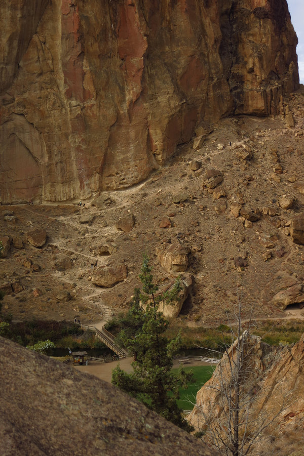
Here, on the left, you can see the switchback trail we will be taking.
Some people think the rock formation in the middle looks like Snoopy.
A closer look at Snoopy.
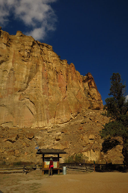
Here Denny reads all the warnings and other pertinent info before we set off across the bridge and up the trail.
There would only be one small part of this trail that would be a bit miserable. We will see that later.
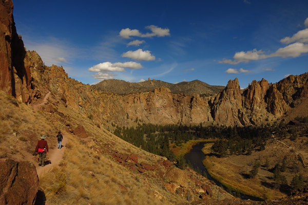
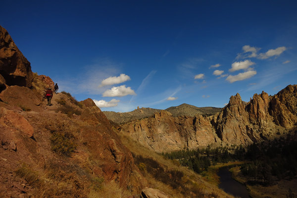
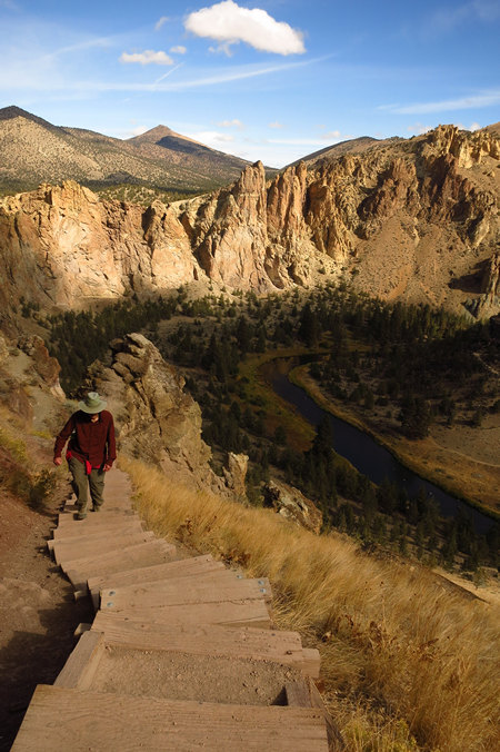
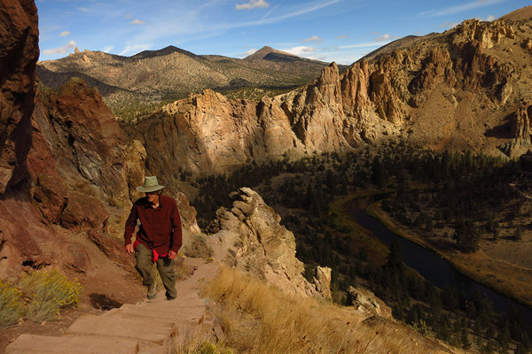
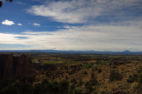
Once we got up the switch back we started getting even more nice views.
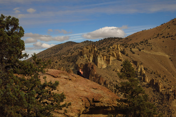
If you look closely you can see someone way up on top.
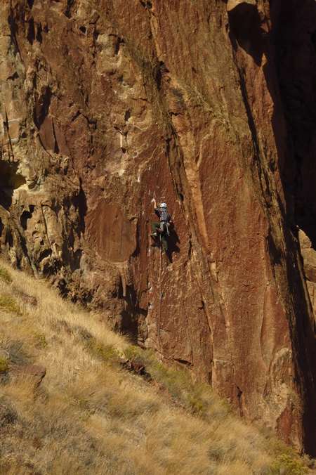
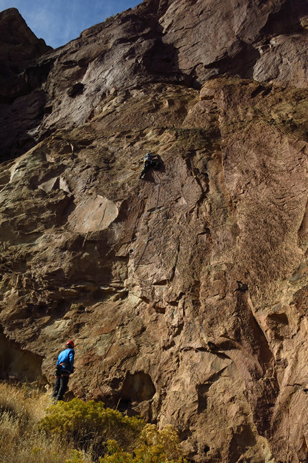
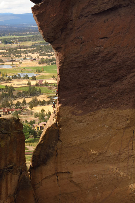
Here is a sport climber on a fixed route.
The guy on the bottom has the climber on belay.
Belaying refers to a variety of techniques climbers use to exert tension on a climbing rope so that a falling climber does not fall very far. A climbing partner typically applies tension at the other end of the rope whenever the climber is not moving, and removes the tension from the rope whenever the climber needs more rope to continue climbing.
Source: WikiPedia
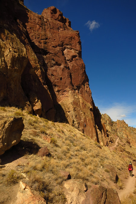
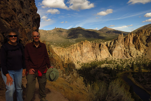
Denny and Betsy turn the corner on another nice view.
Now we were getting some air!
The formation in the middle is called "Pecker Rock".
Wheeeee...! That's a long way down.
Betsy and I were both feeling a bit of the "high anxiety". Denny? Not so much.
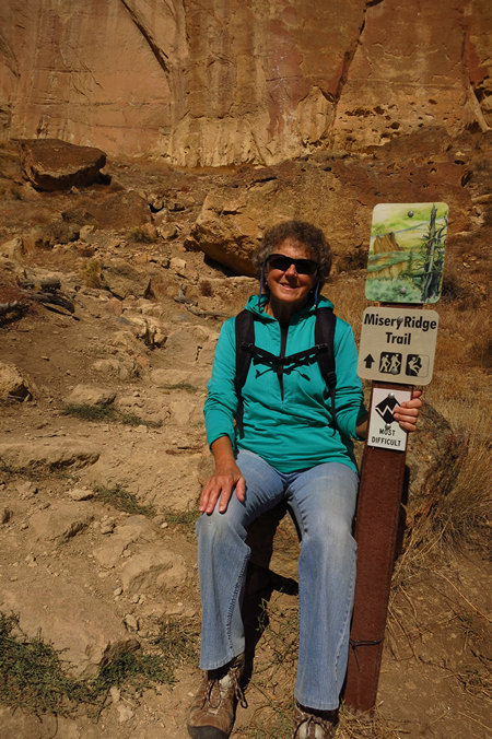
We took a short break once we reached Misery Ridge Summit.
There were some pretty nice views from the top.
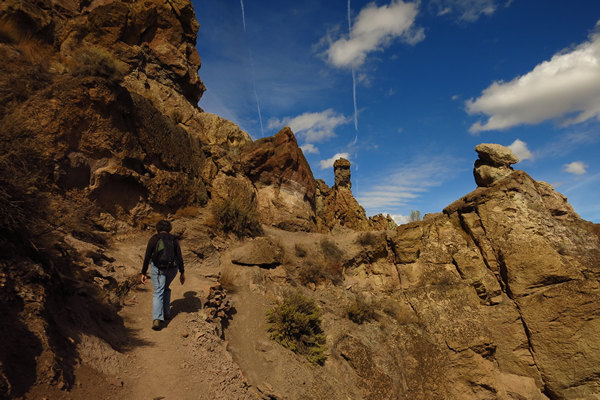
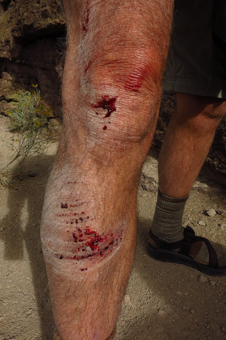
We have now crossed over and started the trail section on the backside which has a series of steep switchbacks with some areas of loose surface. Perfect for slipping and falling down if you are not paying attention.
Here is the misery part of the trail. I had only myself to blame. I was too busy yakking and not paying attention to my foot placement. I guess it coulda been worse. I might have ended up like this hiker.
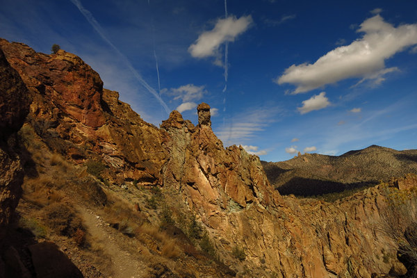
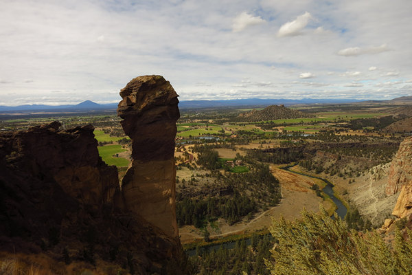
Here is the well know formation called "Monkey Head". It is hard to tell here but there are climbers on both the left and right sides.
Here is one of the climbers. I could not tell if he was on a fixed route or not. But it seemed most of the climbers were.
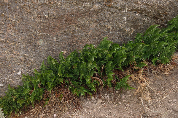
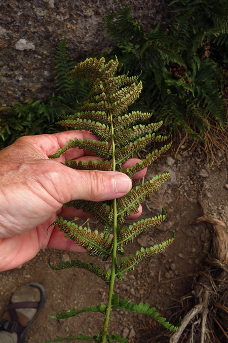
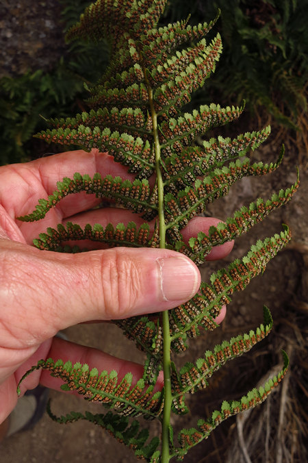
Ferns! We are now on the north side of the rocks which makes it cooler and less sunny which is generally better growing conditions for ferns.
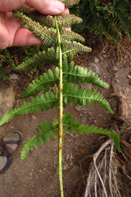
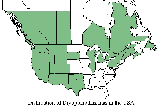
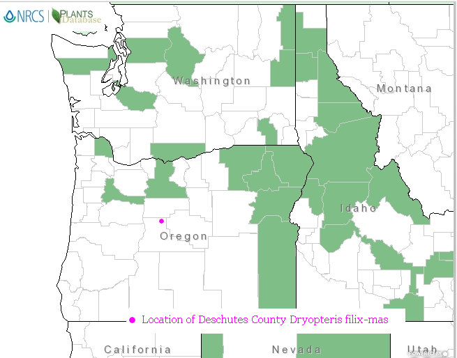
Meet Dryopteris filix-mas. AKA Male fern. This particular male gets around as you can see from this distribution map.
I think it is safe to say the Male fern is not common anywhere in the US and in some states it is down right rare. In Maine it is listed as "Endangered" and Vermont has the species listed as "Threatened". FellowFrondFrondler Joan Gottlieb of Pittsburg found several plants of Dryopteris filix-mas in western Pennsylvania. Up until that point the nearest locality was in the Lower Peninsula of Michigan (Alpena County). So, the plants Joan found is called a "disjunct population". I love saying that. I even love typing it. "disjunct population". Yes!
In biology, a taxon with a disjunct distribution is one that has two or more groups that are related but widely separated from each other geographically. The causes are varied and might demonstrate either the expansion or contraction of a species range.
Source: WikiPedia
When I told Joan I had found Dryopteris filix-mas in Deschutes county OR she had this to say.
This is a complex species, with European, U.S. and Mexican populations that are probably sub-species if not already different species. Remember I found it growing in western PA some years ago, and it is not supposed to be found here. The nearest known population up to that point was on limestone in upper Michigan. So, either the spores got here on lake effect winds or the plants originated from European material (carried in the nursery trade) and escaped from cultivation. This is a group of ferns that definitely needs DNA work. Good find. ~ Joan Gottlieb
Not only is Dryopteris filix-mas widespread in the USA it is also circumboreal in it's global distribution.
The Circumboreal Region is a floristic region within the Holarctic Kingdom in Eurasia and North America, as delineated by such geobotanists as Josias Braun-Blanquet and Armen Takhtajan.
It is the largest floristic region in the world by area, comprising most of Canada, Alaska, Europe, Caucasus and Russia, as well as North Anatolia (as the southernmost part of the region) and parts of northern New England, Michigan, and Minnesota.
Source: WikiPedia
The 2002 US Forest Service report "Conservation Assessment for Male Fern (Dryopteris filix-mas)" has this to say about the global distribution of Dryopteris filix-mas.
Dryopteris filix-mas, a circumboreal species, is known from Eurasia, Greenland, across Europe, the Caucasus Mountains, and Turkey. It also is scattered in central Asia, northwestern China, and Africa.
In North America, Dryopteris filix-mas occurs in the Rocky Mountains from New Mexico northwards to British Columbia and sporadically in the Great Lakes Region to Greenland and Iceland (Carlson & Wagner 1982). It occurs in Greenland and the Canadian provinces of SW Alberta, British Columbia, Newfoundland, Nova Scotia, Ontario, Quebec, and Saskatchewan. In the United States it occurs in Arizona, California, Colorado, Idaho, Michigan, Montana, New Mexico, Nevada, Oklahoma, Oregon, Texas, Utah, Washington, Wisconsin, and Wyoming (Montgomery & Wagner 1993). It is disjunct in northern Illinois according to Lellinger (1985) and has a disjunct population in the San Bernadino Mountains in southern California (Carlson & Wagner 1982).
Source: USFS
Note this distribution map does not show it as having been recorded in Deschutes County OR where I found it. This can mean two things: My siting makes it a new county record, or the PLANTS database is not up to date.
The latter is certainly possible since the PLANTS database does not show either the western Pennsylvania or the Alpena County Michigan localities.
However I just received confirmation from the Herbarium at Oregon State University they have no record of it for Deschutes County.
There you have it. Way more than you wanted to know about the distribution of the good old Male fern.
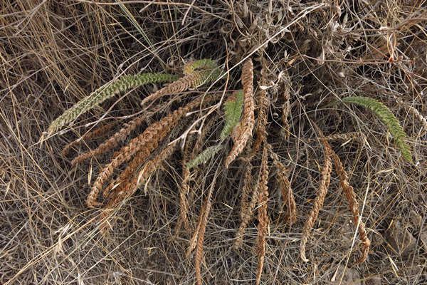
Here is another fern I spotted very near the Male fern site. Fortunately for you my dear reader I have not yet identified it and thus have nothing to day about it.
I took one last shot of the view to the north before we dropped back down to river level.
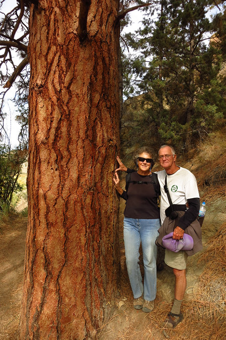
We came across this dandy Ponderosa pine (Pinus ponderosa) down by the river.
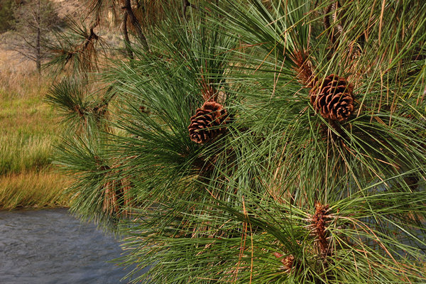
The bushy looking bundles of needles are typical of Ponderosa Pine.
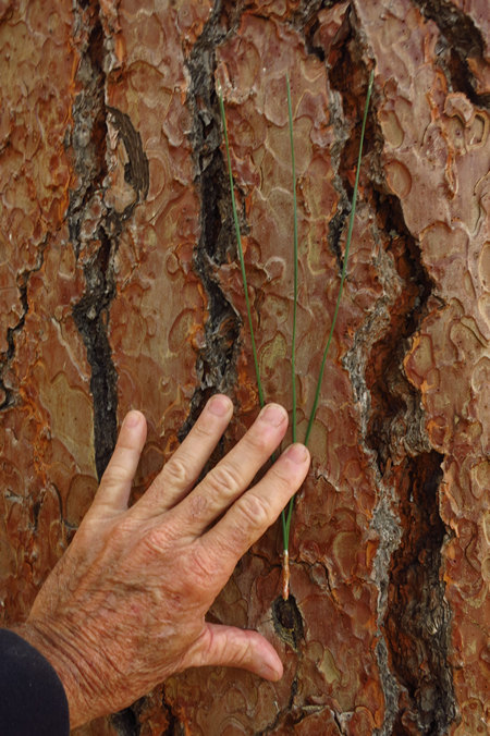
The 3 long needles to a fascicle and the distinctive reddish bark with dark fissures make this western pine an easy one to learn.
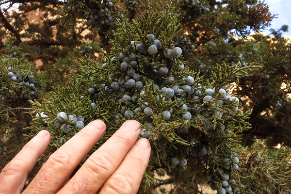
We also saw numerous Western Junipers (Juniperus occidentalis) along the way. Certain individual trees were loaded with berries.
A juniper berry is the female seed cone produced by the various species of junipers. It is not a true berry but a cone with unusually fleshy and merged scales, which give it a berry-like appearance.
Juniper berries are used in northern European and particularly Scandinavian cuisine to "impart a sharp, clear flavor" to meat dishes, especially wild birds (including thrush, blackbird, and woodcock) and game meats (including boar and venison). They also season pork, cabbage, and sauerkraut dishes.
Juniper, typically Juniperus communis, is used to flavor gin, a liquor developed in the 17th century in the Netherlands. The name gin itself is derived from either the French genièvre or the Dutch jenever, which both mean "juniper".
Other juniper-flavoured beverages include the Finnish rye-and-juniper beer known as sahti, which is flavored with both juniper berries and branches. The brand Dry Soda produces a juniper-berry soda as part of its lineup. Recently, some American distilleries have begun using 'New World' varieties of juniper such as Juniperus occidentalis.Source: WikiPedia
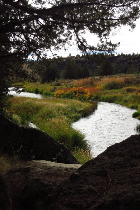
Some of the willows along the river banks were starting to show a little color.
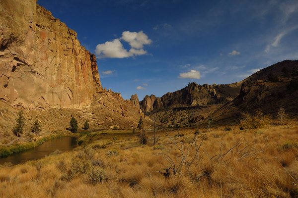
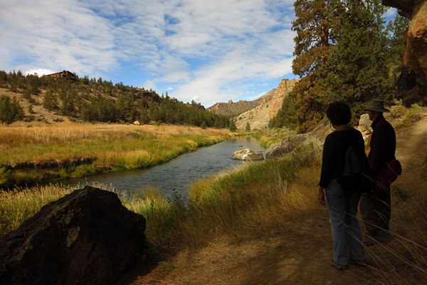
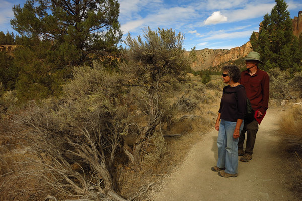
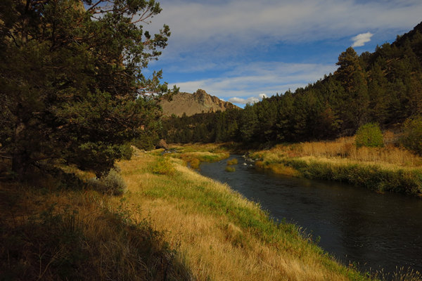
This was a nice leisurely walk and we took every opportunity to enjoy the views of the Crooked River.
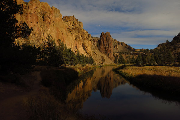
What a beautiful spot. It was too bad it was not warm enough for a dip.
We all agreed this was the largest Sagebrush (Artemisia tridentata) we had ever seen.
Artemisia tridentata, commonly called "big sagebrush", Great Basin sagebrush or "sagebrush", is an aromatic shrub from the family Asteraceae, which grows in arid and semi-arid conditions, throughout a range of cold desert, steppe, and mountain habitats in the Intermountain West of North America. The vernacular name "sagebrush" is also used for several related members of the genus Artemisia, such as California Sagebrush (Artemisia californica).
Big Sagebrush and other Artemisia shrubs are the dominant plant species across large portions of the Great Basin. The range extends northward through British Columbia's southern interior, south into Baja California, and east into the western Great Plains of New Mexico, Colorado, Nebraska, and the Dakotas.
Several major threats exist to sage brush ecosystems, including human settlements, conversion to agricultural land, livestock grazing, invasive plant species, wildfires, and climate change.
Sagebrush provides food and habitat for a variety of species, such as sage grouse, pronghorn antelope, gray vireo, pygmy rabbit, and mule deer. Artemisia tridentata is the state flower of Nevada.
Source: WikiPedia
I like the last line the best.
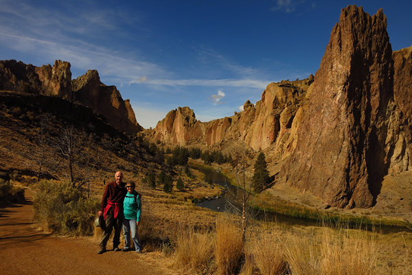
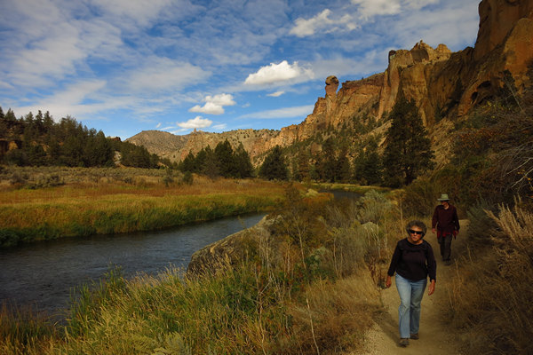
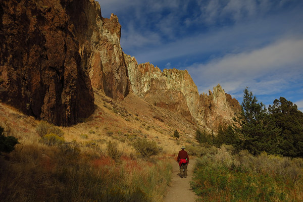
The amazing scenery never stopped for the entire hike.
Considering what a beautiful day it had been we saw surprisingly few people. I am sure on a weekend day it would be a different story.
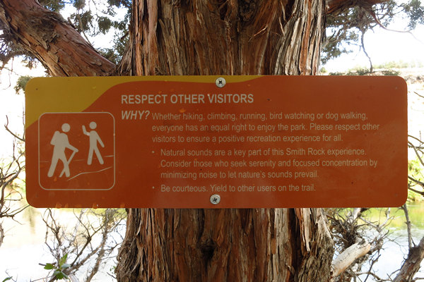
Some parting advise.
Respect Other Visitors
Why? Whether hiking, climbing, running, bird watching or dog walking, everyone has an equal right to enjoy the park. Please respect other visitors to ensure a positive recreation experience for all.
Natural sounds are a key part of this Smith Rock experience. Consider those who seek serenity and focused concentration by minimizing noise to let nature's sounds prevail.
Be courteous. Yield to other users on the trail.
Many thanks to Denny for a fun and interesting stay in the Redmond area.
Next stop: Lava Beds National Monument.
See you then!
