Day 22: Friday, July 2nd
Today was to be our last full day in the UP and a memorable one it would be.
I awoke at 5:00 and was up and out at 5:45. It was a nice 54 degrees with calm winds and clear skies. The night in the campground had passed quietly except for a 1AM cruise by someone. Only one other site was occupied so we had gotten lucky again. And, this morning, no ass hole running their generator!
Click on the photos below for a larger image.

There was another nice sunrise to be seen from our campground. Too bad sleeping beauty does not get up in time to see more than just my photos of these delightful events!

When the coffee was made I poured a cup and took a walk over to the boat ramp. By now the day was shaping up nicely. It looked liked a perfect hiking day was on the way.
Betsy then joined me at the boat launch and we watched together as a Great Blue Heron worked the shoreline for breakfest and Black Terns flew overhead.
Unable to face my own cooking again we decided to check out Newberry for breakfast. On CR 434, which is the access road to Natalie camp ground off of CR 405, there are several large fields along the roadway. We noticed something in the distance in one of the fields and it turned out to be two Sand Hill Cranes getting their breakfast. We both got good looks at them through the binocs.
When we got to downtown Newberry we did not see anything open so we stopped at Rahilly's IGA at 101 West Helen Street (906-293-5141). It was a bit before 8:00 and they were not yet open, but the doors were. Betsy went inside to ask for info about a breakfast place. Turns out we were nearly parked in front of one. Timber Charlie's Food & Spirit was just around the corner at 110 Newberry Avenue (SR 123). Their web sight claims they have "spectacular atmosphere". We shall see...

Here Betsy gets a little taste of the "spectacular atmosphere" at Timber Charlie's. Beaver attack!!
The breakfast's were pricey so I got the Big Breakfast and shared some with Betsy who ordered only 2 eggs and toast.
While waiting for our vittles to be served I went out to the car and got Hansen's guide book and the Michigan state map.
Betsy looked over all the hikes within about an hours drive but the one she kept coming back to was: "Birch Point - Secluded Lake Michigan shorelines, beaches, dune and swale topography, wildlife, solitude."
Now, I am not much of a beach person so when Betsy told me she wanted to do a beach hike I was not thrilled. But after reading Eric's description and looking at the photos, I became more interested and we finally agreed to head south and have a look/see. We were not disappointed.

This poster was in the entryway of Timber Charlie's.
"Missing under suspicious circumstances since walking into Lake Superior State Forest near Paradise... March 17th, 2004"
I doubt that "ShadowStrider" will ever be seen again.
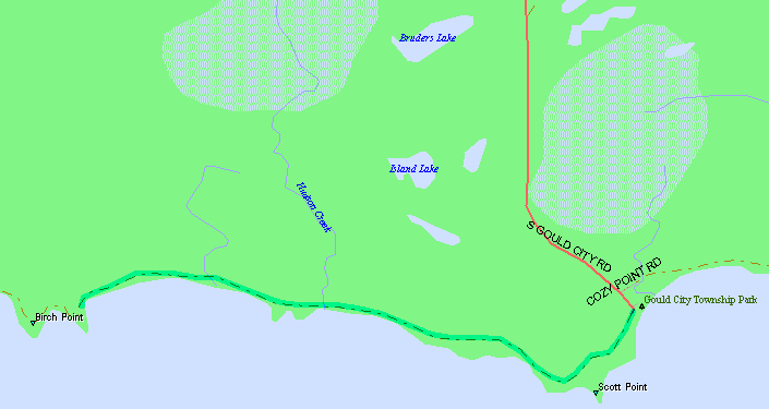
Our 35 mile drive down to the north shore of Lake Michigan would be on SR 123 south to SR 28 and a short jog west to SR 117, then south to US 2. We drove west on US 2 for about 6 miles than made a left hand turn onto South Gould City Rd. and drove the remaining 10 miles to the north shore of Lake Michigan.
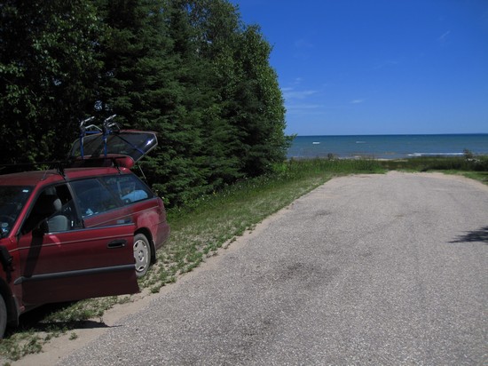
We parked along the road next to the Gould City Township Park
Not expecting a nice sandy beach and park with picnic tables we decided to have a look around. It was nice. There were trash cans, out houses and, yet another continuously running water spigot. Although this one was damaged and only had water coming out of the bottom.
There was also one of these continuously running water supplies at Natalie Campground. I talked to the DNR about this and was told the source of the water is from artesian wells. According to Wikipedia: An artesian aquifer is a confined aquifer containing groundwater that will flow upward through a well, called an artesian well, without the need for pumping. Water may even reach the ground surface if the natural pressure is high enough, in which case the well is called a flowing artesian well.
This probably also explains the continuously running water located along the Manistique boardwalk.

"Artesian Well" by HongNian Zhang
My idea of the ideal artesian well.

Our first look west along the beach. I jokingly told Betsy it looked like something out of a Bob Ross painting.
At first Betsy was determined to pick a path around or through the first swale we encountered so she could keep her feet dry. She finally gave up. Me? Not to worry. I was wearing my Chacos and Darned Tough socks and I plodded right through.

We were no sooner into the swale when I spotted some Pitcher Plants (Sarracenia purpurea) - a carnivorous plant. This was the beginning of what was to be a great day of botanizing.

Until now the only place I had ever seen Sarracenia purpurea was in high elevation bogs in the Appalachians. This was an unexpected treat and they were in full bloom.
Like other species of Sarracenia, S. purpurea obtains most of its nutrients through prey capture. However, prey acquisition is said to be inefficient, with less than 1% of the visiting prey captured within the pitcher. Even so, anecdotal evidence by growers often shows that pitchers quickly fill up with prey during the warm summer months. Prey fall into the pitcher and drown in the rainwater that collects in the base of each leaf.
Prey items such as flies, ants, spiders, and even moths, are then digested by an invertebrate community, made up mostly by the mosquito Wyeomyia smithii and the midge Metriocnemus knabi. Protists, rotifers (including Habrotrocha rosa), and bacteria form the base of inquiline food web that shreds and mineralizes available prey, making nutrients available to the plant.
New pitcher leaves do produce digestive enzymes such as hydrolases and proteases, but as the individual leaves get older into their second year, digestion of prey material is aided by the community of bacteria that live within the pitchers.
Source: WikiPedia

Here you can see the openings of the "pitchers". The inside is covered with downward pointing hairs so when an insect crawls down to feed on the nectar and tries to get back up, it cannot. It eventually exhausts it's self and falls into the collected rainwater below and is digested by the plant. Not a fun way to go.

The back of a Sarracenia purpurea flower. Can anyone tell me why I did not get a picture of the front of the flower? Me big dummy!
Sarracenia was to be the first of many interesting plants we would see, many were new to me so it was fun seeing them. And now is a goof time to thank the following people for identifying some of the plants:
Jess A. Peirson, PhD Dept of Ecology and Evolutionary Biology University of Michigan
Bill Beatty, Naturalist and Nature Photographer
Rodney Bartgis, State Director, The Nature Conservancy: WV

Besides all the cool plants we were surprised to see so many shells along the shoreline. This was totally new habitat for both of us and so just about everything we saw was new to us. Groovy!

There were large piles and drifts of shell. We were both fascinated by this.

Still more shells.

This is Grass-of-Parnassus(Parnassia glauca) a plant that I have heard about for decades but cannot recall ever seeing before. The distribution of this plant is primarily the northeaster US and Canada and that may account for it's newness to me.
This plant is actually not a grass, but a herbaceous dicot. The stalk of the plant can reach up to 8 inches (200 mm), the leaves up to 4 inches (100 mm) and the petals can be up to 1.4 inches (36 mm) wide. The flower has five white petals, each with light green vein-like lines on them. In the center, are five three-pronged sterile stamens, each tipped with shiny, drop-like, false nectaries, which (along with the green lines) seem to lead flies and bees to the nectar in the very center of the flower. This flower blooms in late summer, around July, and into late fall.
Source: WikiPedia

This beauty is Harebell (Campanula rotundifolia) which I recognized instantly but I have no clue where I have seen it before.

A circumpolar native, this magick herb is found in North America as well as Northern Europe and the British Isles, where it has been grown since the Middle Ages. There it is strongly connected to the Good Folk, like many bell-shaped flowers, and people did not dig it out of their gardens in order not to offend them. The Victorians believed that fairies slept in the bells or used them as goblets for dew. At one time it was said that if a maiden counted the harebells she saw three times as the sun rises or as the dew falls, she would see Fairies, to whom she should curtsy three times to acquire their good wishes.
In North America, Haida Indians cautioned their children not to pick these flowers, or it would rain. And Navajo folk rubbed this plant on their bodies for protection while hunting or to keep off witchcraft. They also made a ceremonial fumigant from this plant to smudge a sick person against various ills, implying that these ills might have some supernatural cause.
Source: http://www.alchemy-works.com
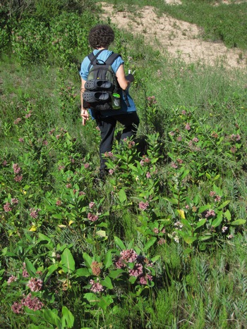
Following the directions in Hansen's book we left the first swale and beach area to cross up and over a dune which was covered with Common Milkweed (Asclepias syriaca) a favored food plant for the Monarch caterpillar.
We no sooner crested the dune when I saw something obviously out of place on the beach.
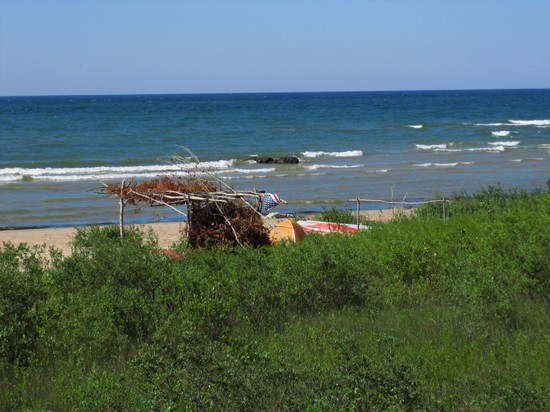
Hmmm... curious. Whatever could this be?
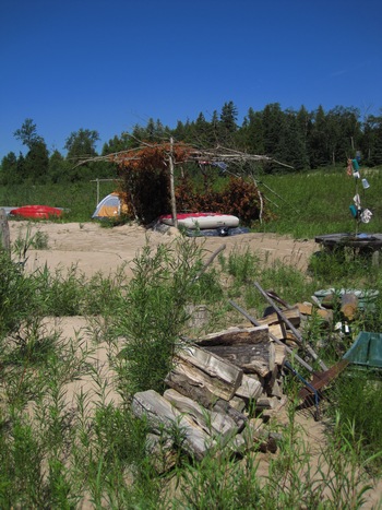
When we got close enough to see it was some sort of encampment. I went in for a closer look while Betsy decided to keep her distance.
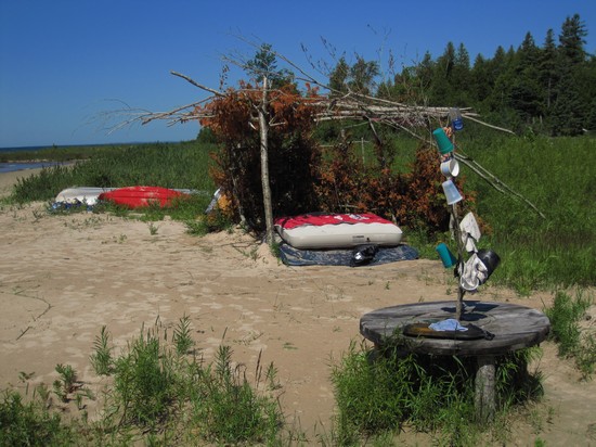
Obviously, someone was squatting here and judging from the amount of possessions lying about they were here on a regular basis.
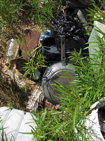
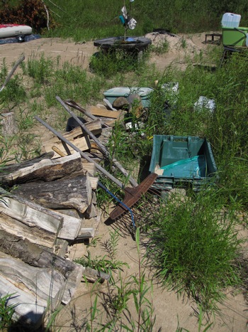
Somebody had taken a lot of time and effort to haul all of this stuff in.
Being concerned about all of this crap being abandoned and turning into an open dump I decided I would call DNR enforcement and make a report. But, it took me over a month to get around to calling them. But, at least now, they have the info. I also sent them a link to these photos as well.
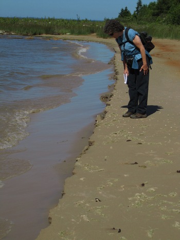
Here Betsy stands on the edge a precipice. Well... it looked interesting at the time and it was the only place we saw a cutting of the beach sand like this.
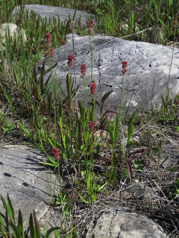
More cool plants! This is Sticky False Asphodel ( Tofieldia glutinosa). How about that for a funky common name?
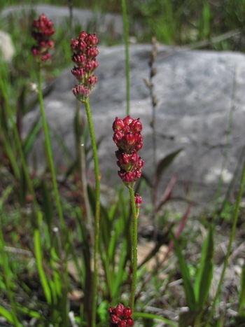
Habitat:
Lime-rich or calcareous areas that are inundated with water each season, such as river edges, shallow rocky areas in rivers that are exposed during low water, ledges, marly bogs.General Interest:
This is not a common wild flower. The species name glutinosa refers to the sticky, glandular hairs on the stem beneath the flower clusters.Source: © 2002-2010 Andy Fyon
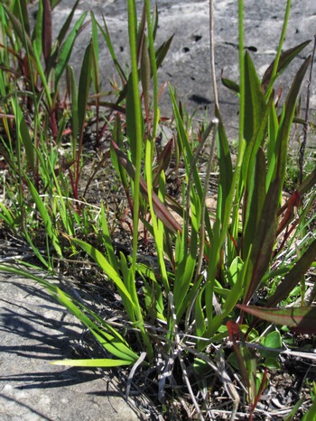
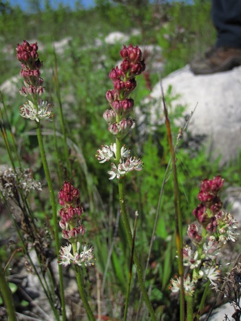
A very unique and interesting plant and one which was new to me.
I need to get out more!
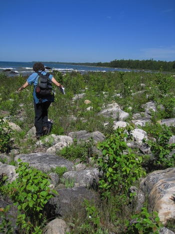
The trail descriptions in Eric Hansen's book are detailed and clear. For this hike he "warned" us with this: "a stretch of cobble and rock begins, and what is ahead is well worth the effort."
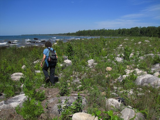
The footing was treacherous at times and we often felt like we were playing hopscotch.
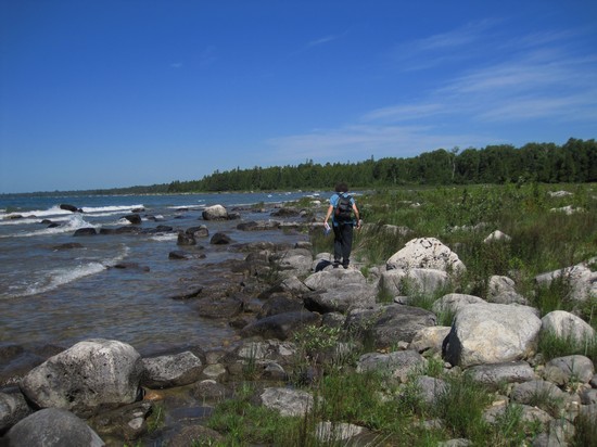
Betsy and I were both agog with the scenery. Certainly unlike any beach we had ever been on before.
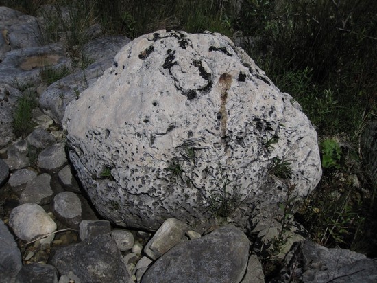
Many of the boulders were pocked and dimpled and worn into interesting shapes.
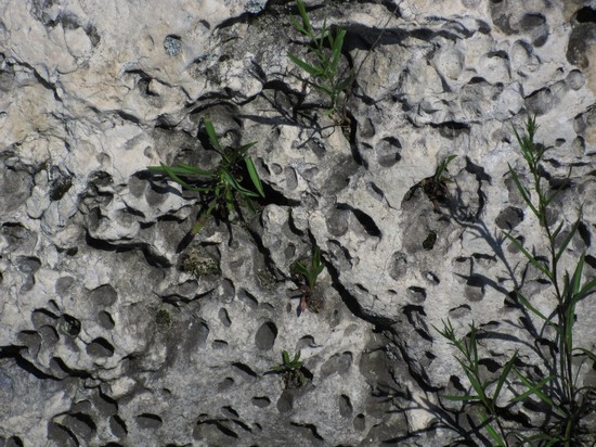
I wondered whether the voids in this rock were from soft spots or just repeated tumbling from the smaller stones and pebbles.
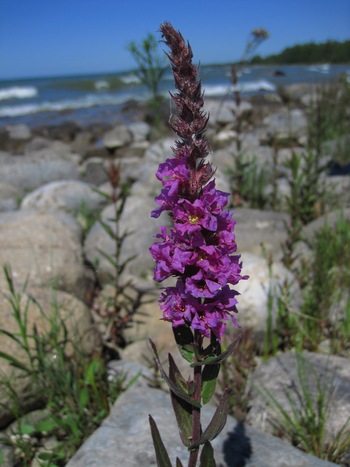
Meet Purple Loosetrife (Lythrum salicaria). A real beauty, but unfortunately an aggressive non-native invasive which has taken over thousands of acres of wetlands.
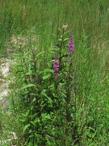
Infestations result in dramatic disruption in water flow in rivers and canals, and a sharp decline in biological diversity as native food and cover plant species, notably cattails, are completely crowded out, and the life cycles of organisms from waterfowl to amphibians to algae are affected.
A single plant may produce up to three million tiny seeds annually. Easily carried by wind and water, the seeds germinate in moist soils after over wintering. The plant can also sprout anew from pieces of root left in the soil or water. Once established, loosestrife stands are difficult and costly to remove by mechanical and chemical means.
Source: WikiPedia
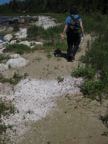
Along the way we saw more deposit of those tiny, little shells.
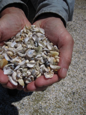
Hands full of treasure...
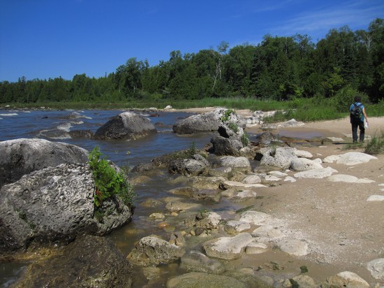
The closer we got to Birch Point the larger the boulders we saw.
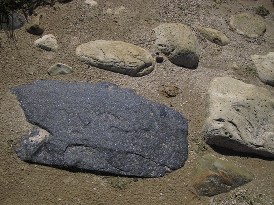
An interesting mix of rocks, colors and textures.
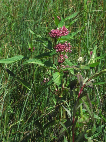
Another lovely milk week. This one is Swamp Milkweed (Asclepias incarnata). This plant grows commonly in West Virginia and indeed is ditch plant not far from our house. All the ones I see in our area have much narrower leaves.
Swamp milkweed prefers moisture retentive to damp soils in full sun to partial shade and typically, is found growing wild near the edges of ponds, lakes, streams, and low areas—or along ditches. It is one of the best attractors of the Monarch Butterfly, which feeds on the flowers and lays her eggs on the plants. The emerging caterpillars feed on the leaves.
Source: WikiPedia
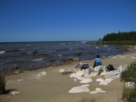
Wow. Now this is my kinda beach. Remote and wild to be sure, but accessible without trekking miles and miles. This was the spot Betsy chose for her exhilarating skinny-dip on our way back.
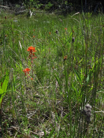
An old friend. We have seen Indian Paintbrush (Castilleja coccinea), or one of it's relatives just about every place we have visited.
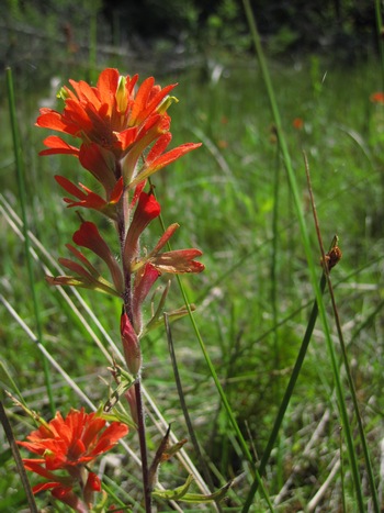
This genus is named for Domingo Castillejo, an eighteenth century Spanish botanist. The region where Castilleja most commonly occurs (the southwestern part of present day United States) was under the jurisdiction of Spain until 1821, and then Mexico until 1848, so it is not surprising that a Spanish botanist would be the first to study and name the genus.
Source: The Root Cellar
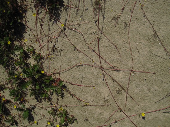
Another new one for me was Common Silverweed (Potentilla anserina). Check out those crazey runners going all over the place. Wild!
Argentina anserina, also known as Common Silverweed, Silverweed Cinquefoil or just "silverweed", is a flowering perennial plant in the rose family Rosaceae. It is native throughout the temperate Northern Hemisphere, often on river shores and in grassy habitats such as meadows and road-sides. The plant was formerly classified in the genus Potentilla but was reclassified into the resurrected genus Argentina by research in the 1990s.
Source: WikiPedia
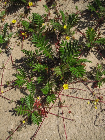
Herbal tea from the underground roots is used to help delivery, and as antispasmodic for diarrhea. The plant was also put in shoes to absorb sweat. Howard (1987) states that it was formerly used as a treatment for epilepsy, and that it could ward off witches and evil spirits.
The plant has been cultivated as a food crop for its edible roots. The usual wild forms, however, are impractical for this use, as they are small and are hard to clean. It may also become a problem weed in gardens.
Source: WikiPedia
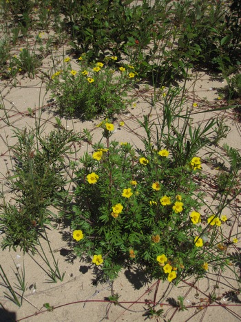
This is Shrubby Cinquefoil (Potentilla fruticosa) a plant I first became acquainted with when I was involved in horticultural pursuits. It is superficially similar to the previous species. WikiPedia points out the differences.
It is a deciduous, much branched flowering shrub growing to 0.1–1 m tall, rarely up to 1.5 m. The habit is variably upright to sprawling or prostrate, but stems are often ascending especially those stems with many long branches. The bark of older stems is shreddy with long thin strips. The plants are densely leafy, the leaves are divided into five or seven (occasionally three or nine) pinnate leaflets.
Source: WikiPedia
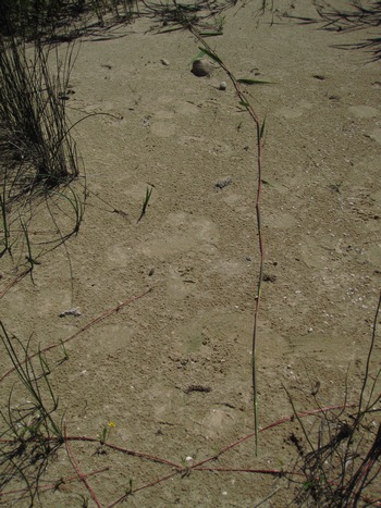
This long runner piqued my curiosity.
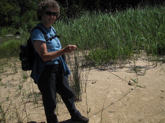
This is Common Reed (Phragmites australis), called "Phrag" by some. It is considered an invasive species by some.
However, recent research has shown there is more than one genotype.
Phragmites australis (Cav.) Trin. ex Steud, or common reed, is thought to be one of the most widespread plants on Earth and is found in marsh systems world-wide. It is an erect perennial grass 6-15 ft. (2-5 m) tall that remains standing through all seasons and is fairly easily recognized by its plume-like inflorescences. Although the species name "australis" suggests it is native to Australia, it is believed to have originated from the Middle East.
Recent research using genetic markers has demonstrated that three separate lineages occur in North America – one endemic and widespread (the native), one from Europe (the introduced invasive), and one whose nativity is currently unclear which occurs across the southern U.S. from California to Florida and into Mexico and Central America (the "Gulf Coast" type).
Source: Distinguishing Exotic and Native Forms of Common Reed (Phragmites australis)
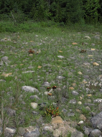
More Pitcher Plants. Growing in a boulder field of all places.
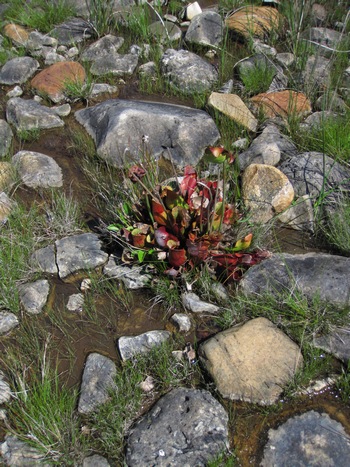
I never had a clue as to the varied types of habitats this plant would grow in.
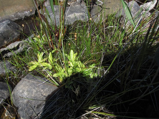
Meet the Butterwort (Pinguicula vulgaris)
The butterworts are a group of carnivorous plants comprising the genus Pinguicula. Members of this genus use sticky, glandular leaves to lure, trap, and digest insects in order to supplement the poor mineral nutrition they obtain from the environments. Of the roughly 80 currently known species, 12 are native to Europe, 9 to North America, and some in northern Asia. The largest number of species is in South and Central America.
Source: WikiPedia
This plant has a special place in the hearts of Betsy and I. We first saw it on some rocky area near Grand Marais while on one of our courtship trips to the UP. Betsy liked it enough she drew an illustration of it for use in our wedding announcements. Some people thought it was funny she chose a carnivorous plant for this purpose.

Betsy's rendering of Pinguicula
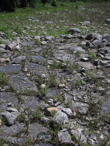
I found the different patterns of the boulders and fractured limestone pavement quite interesting
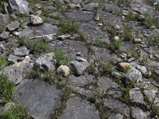
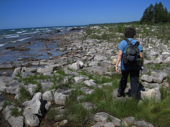
Another look at the cobbles and boulders.
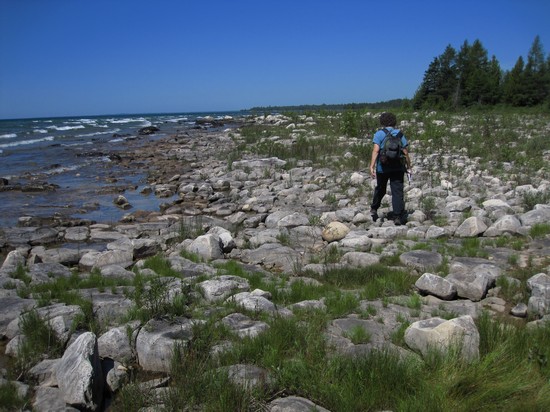
Beautiful place!
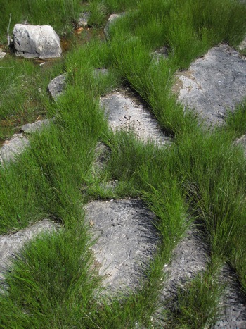
More interesting patterns with rocks and Scirpus.
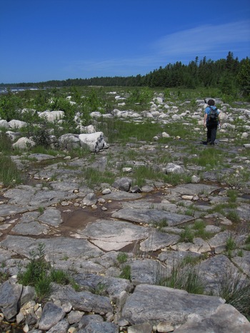
Now we are starting to see the larger sections of limestone pavement.
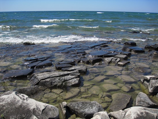
Every view was new and fresh and different to us.
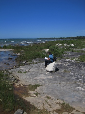
Here on the limestone pavement which is the bedrock, Betsy takes advantage of one of the boulders which was nicely placed for sitting on.
The bedrock includes both limestone and dolomite (or dolostone) of marine origin. Limestone bedrock lakeshores of Michigan occur where flat bedrock of the Niagaran Escarpment is exposed. Bedrock is of Middle and Late Ordovician and Early Silurian origin (405 to 500 million years ago), when shallow, inland seas covered the Lake Michigan Basin. Shoreline bedrock of Thunder Bay Island dates to the more recent Devonian period (345 to 405 million years ago).
A veneer of locally derived limestone cobbles of varying thickness occurs along large stretches of limestone bedrock shorelines. Along the inland margins of the limestone pavement, there is often a low ridge of limestone cobble deposited by ice scour and major storm events.
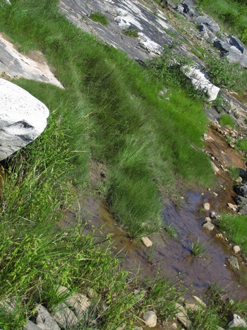
Uh, oh. Tire tracks. Now I am beginning to understand how all that stuff was hauled into the illegal beach encampment shown above.
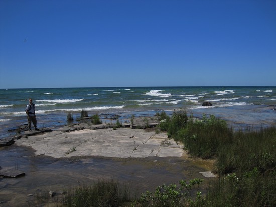
More limestone bedrock.
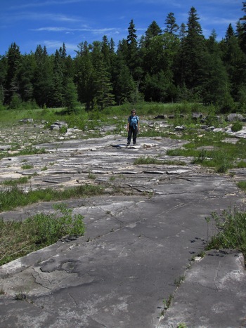
A large sheet of exposed bedrock with Balsam Fir in the background.
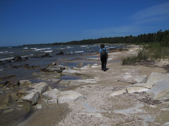
More great scenery with Birch Point in the distance.
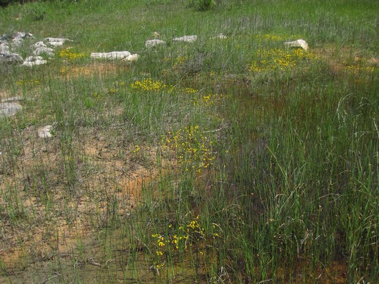
There were large drifts of the Horned Bladderwort (Utricularia cornuta).
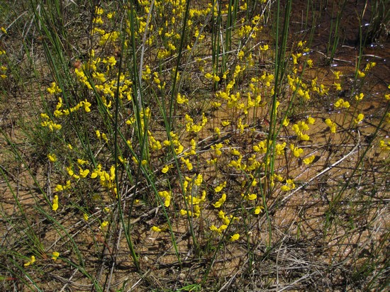
The roots with tiny bladders attached, trap and digest small invertebrates.
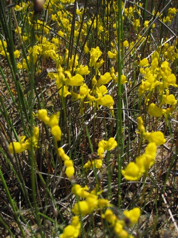
Crappy shot, but I will do better next time!
Bladders small, deflated, pear-shaped pouches. Not air-filled or used for floatation, they open abruptly when trigger hairs are disturbed, sucking in water and any hapless aquatic creature responsible for setting off the trap.
Digestive enzymes and bacteria in the bladder then digest the prey for the nutritional use of the plant, a process typically taking 15 minutes to 2 hours, depending upon the size of the catch. When digestion is complete, special cells extract the nutrient-rich water from the bladder into the stem, thereby restoring the vacuum and resetting the trap for its next victim.
Source: The Natural History of the Northwoods ©Earl J.S. Rook
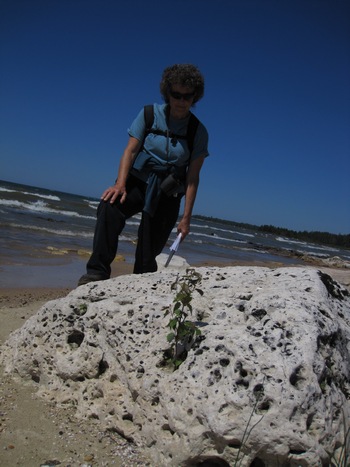
In his book Eric mentions boulders the size of WV Beetles and sure enough we came across them. They would be hard to miss!
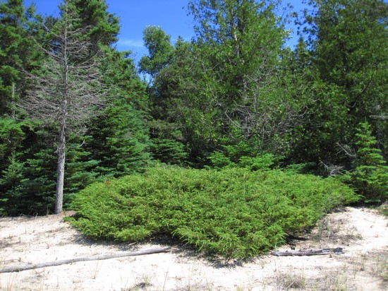
I did not realize Common Juniper (Juniperus communis) could grow as a low shrub. Until now I had only seen it as a small tree.
Range
This is the most widespread conifer in the world, native to temperate Eurasia, and North America N of Mexico, occupying an extraordinary range of habitats (Farjon 2005). Among other places, it is native to Croatia; Sweden; and the United States. See also Thompson et al. 1999.Source: © The Gymnosperm Database
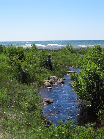
Two lovely little streams came forth from the dense Balsam Fir forest.
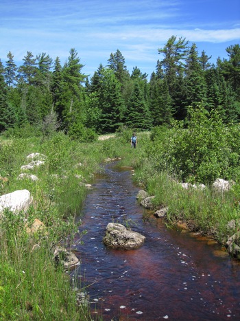
Here, Betsy decided which rocks to hop to get across. I was wearing my Chacos, so I just walked on through. The water was cool and refreshing to my feet.
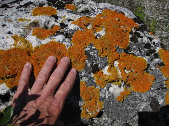
Many of the boulders were covered with these lichens.
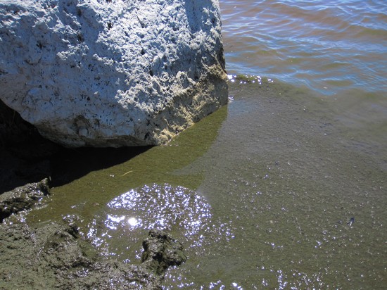
At one point and one point only the water next to the shoreline was this thick, viscous, brownish ooze.
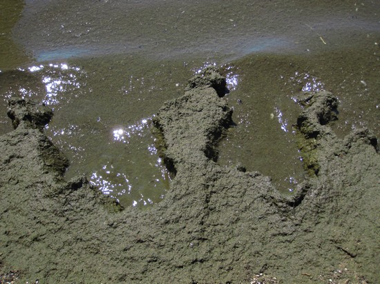
Very weird. Dead algae perhaps.
Everyone has been in a lake where there is a lot of dead algae on the shore and the water is clouded with algae. This situation is known as eutrophication, where algae growth is out of control and the water becomes oxygen depleted. There are natural cycles of eutrophication in the spring and fall, but the body of water can deal with those amounts. When excess waste is added to the water the body of water can no longer control the growth of the algae and the water soon becomes algae ridden and oxygen depleted.
The water becomes oxygen depleted, because the dead algae goes to the bottom and uses the oxygen in the deeper water to decompose, but if there is too much dead algae all the oxygen is depleted. Oxygen from the surface doesn't reach the bottom, because the warmer water is less dense than the deeper cooler water, therefor the warmer water floats on the colder water and they never mix, much like oil and water. Soon the dead algae piles upon itself and makes the lake shallower, until it totally fills in and dries up.
Source: 123HelpMe
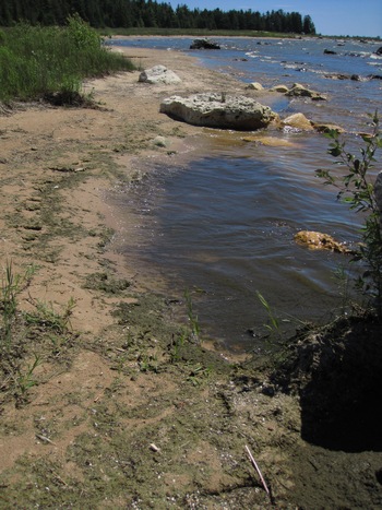
A look back and the oozy part of the shoreline.
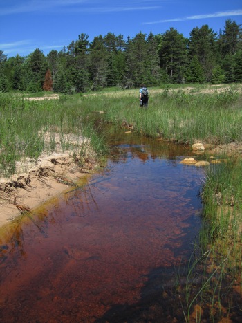
The second creek we crossed was Hudson Creek - I think.
All the maps show Hudson Creek as the first one we would cross. But the first one was much smaller than this one and it makes sense to me the larger creek would be the named one. But, maybe not.
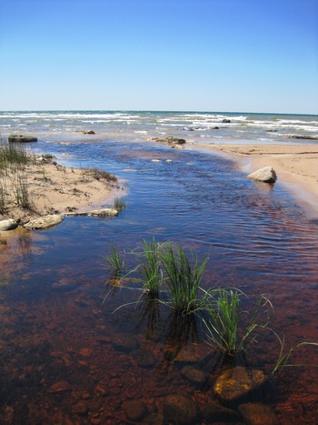
Although dark from tannin, the water was crystal clear.
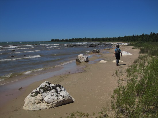
It just doesn't get any better than this. And we had the place all to ourselves.
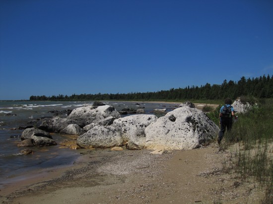
Near our turn around point we came across more big boulders.
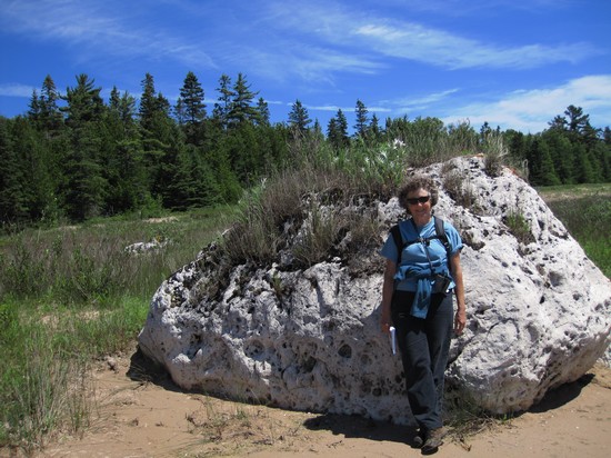
I wonder if the wave action is ever strong enough to move a boulder this size.
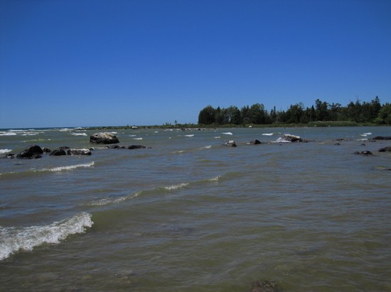
We are now very close to the turn around point - the eastern lobe of Birch Point.
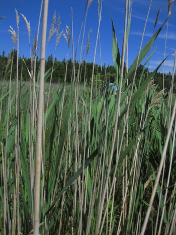
I do not think Eric intended the hike to be out to the tip of the point, but we pushed our way through the Phrag and did some more cobble hopping until we made it to the point.
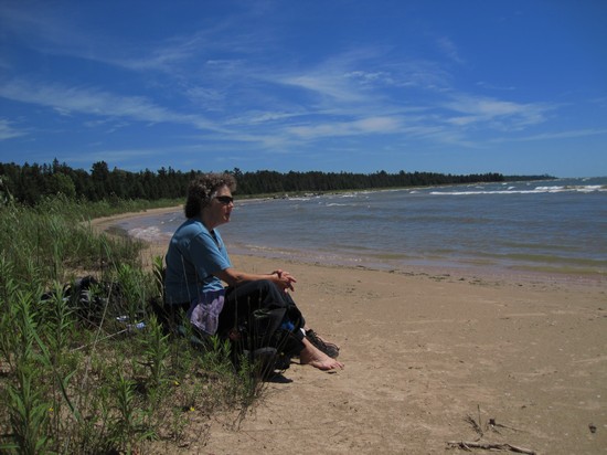
Time for a break to take in the view and have a bite to eat.
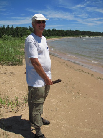
Betsy found this unusual piece of driftwood and insisted I pose with it.
She is a BAD girl!!
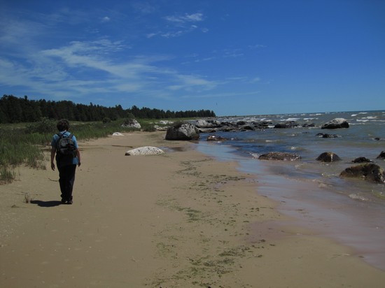
Time to make our way back. Now, the light is different, the sky has changed and our perspective is a new one and we get to enjoy the hike all over again. We are a lucky twosome.
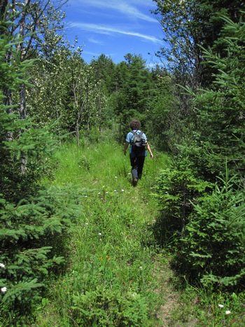
This time we played it smart and hiked part of an old jeep track to avoid one of the sections of cobble.
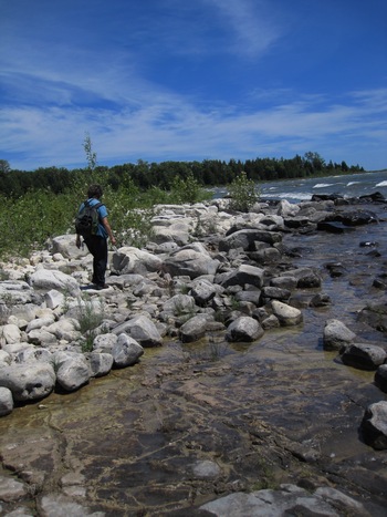
Back out to the cobbles and that WayCool limestone pavement.
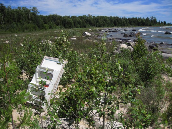
Oh, well. It had to happen. This was the only major piece of trash we saw the entire walk. I say major because we did see several of those mylar party balloons either snagged by a branch or stuck in the muck.
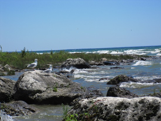
The last shot of our most wonderful beach hike. Can't wait to get back and do some more exploring.
We got back to the car at about 3:00 so we had been out for 5 hours. The previously deserted township beach and park was busy with picnickers, swimmers and two young lovelies in bikinis practicing their Lacrosse throws. A missed photo op that one!
We headed back to our site at Natalie, set up the chairs and drank a beer while we watched the Cedar Waxwings feasting on the Serviceberries (Amelanchier).
We then decided to pack up as much as we could so as to avoid the morning mosquitos and get an early start. This turned out to be a wise idea. (Mine of course!)
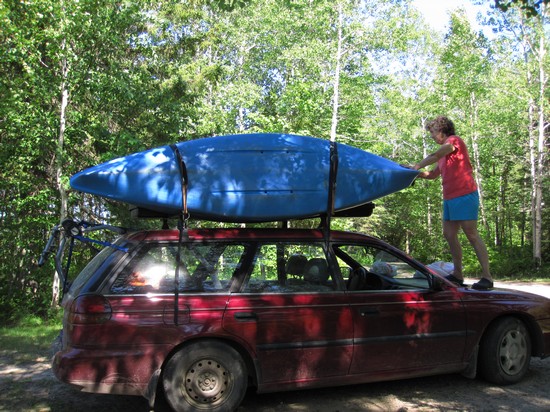
Here Betsy double checks my boat rigging to make sure all is secure.
After loading the bikes and boats and stuffing the car as best we could we headed into town to hunt for some dinner. We ended up on the south side and spotted Zellars Village Inn Motel, Restaurant and Z's Lounge.
We walked into the bar side and there was not a soul to be seen, including behind the bar. We walked through a doorway and into the dining area. It was all plastic and metal chairs, bright lights and was fairly busy. We beat a hasty retreat back to the subdued lighting and quiet of the bar. Almost immediately someone came in and wanted to help us. We asked for menus and ordered a coupla beers.
Betsy ordered the grilled Whitefish, I the 1/2 a broasted chicken. Both included the salad bar which we availed ourselves of.
The salad bar had the most unappetizing selection and condition of any stuff I had ever seen. Anything green was wilted and the carrots were dry and shrivelled. But, we loaded up with as much as we thought we could stand and beat it back to the still empty bar.
Our dinners arrived and Betsy enjoyed hers. She usually does, not matter what. Mine was another story. For some reason I have always thought "broasted" meant "broiled/roasted". It does not. It means deep fried. But, pressure fried by a technique which ws invented by L.A.M. Phelan in the early 1950s and is marketed by the Broaster Company of Beloit, Wisconsin, which Phelan founded.
Now to call it broasting it must use equipment and condiments developed by the Broaster Company.
I am not sure what equipment and condiments they used here at Zeller's but I can say it was like no other chicken I have ever had.
Incidentally, L.A.M. Phelan, the inventor of the world-famous Broaster pressure fryer, was also responsible for building the first automatic gasoline pump, the first automatic toilet, and the first automatic commercial refrigerator. Imagine that!
Also, guess who was a model very early in her career for one of Broaster’s print advertisements? Darryl Hannah !

Darryl - sweet, young, innocent and all American girl.

Darryl as "Pris" the pleasure model replicant in Blade Runner.
Ahh... now wouldn't it have been nice to have a Darryl Dessert to help settle my broaster bulging tummy??!
We left Zeller's about 8:00 and decided to check out some of the lower cost hotels in Newberry.
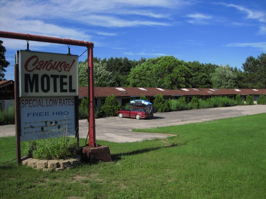
This looks like a nice one. And, look - the sign says "Special Low Rates"!

I think their landscaper must have quit.
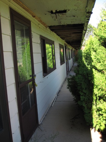
Looks like the place needs a little work. Well, no WiFi - so on to the next place.
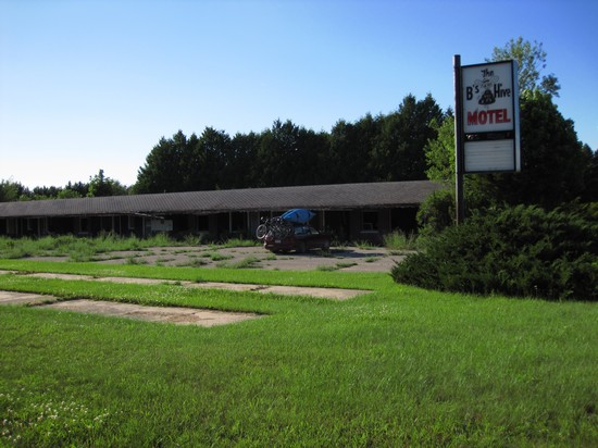
Hey! This one had a "Green" parking lot. Cool!
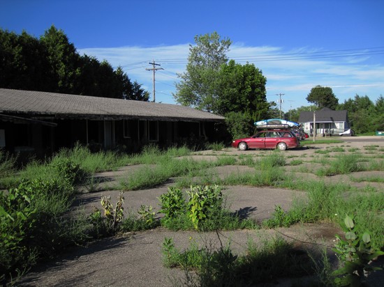
We had never seen a parking lot landscaped with native plants before. Check out the milk weed. Nice.

Whoops! I guess they are remodeling. But look at that nice fern garden out the back window.
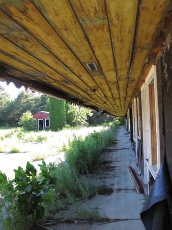
I guess we will have to check back later when they have some of the painting done. So, back to the "M&B Motel" at Natalie Campground.
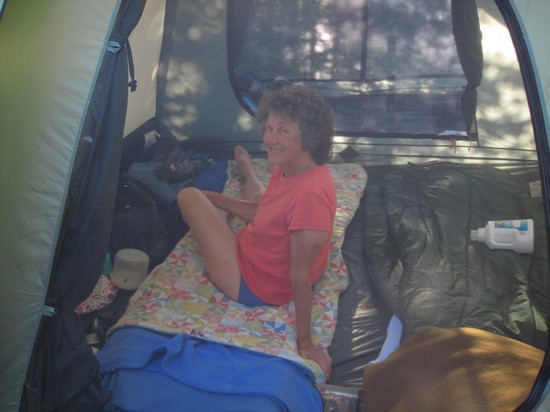
"We came back to sit in the sun at our camp site. Breeze, no bugs and no other campers - heaven!" -Betsy
Good night!!!