Mike Breiding's Epic Road Trips ~2017~
Three Weeks in Michigan
The Pocupine Mountains and Trap Hills
Western Upper Peninsula of Michigan
Tuesday - 18 July: Porcupine Mountains - Presque Isle River and Lake Superior Trails
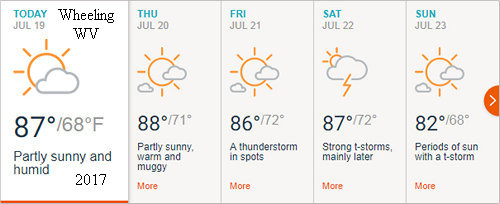
After checking the weather forecast for the next couple of days we decided it was indeed a good idea to be up here on Lake Superior.
The 10 day forecast for the south shore of Lake Superior shows the temps in the mid 70s for the most part and little chance of rain. We hope this proves to be true.

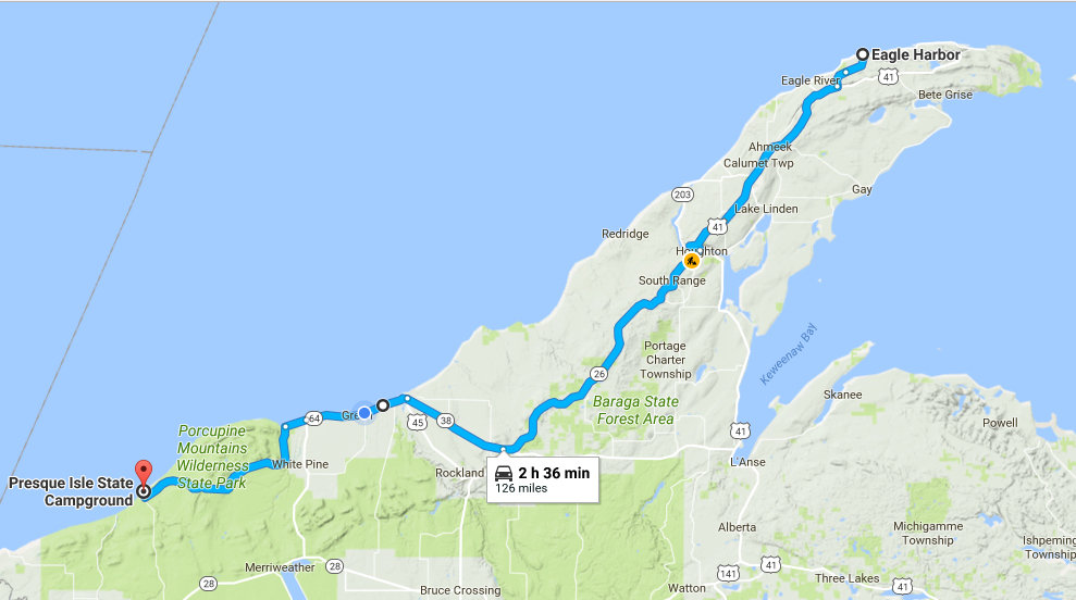
We departed Eagle Harbor in the Keweenaw Peninsula around 8:30 and headed south towards the Hancock/Houghton area on routes 26 and 41 and then 26 and 38 to Ontonagon where we picked up SR 64 to Boundary Road. The latter would take us to our hiking destination today - the so called "Presque Isle River Scenic Site"
Google map driving times are based on continuous, non stop driving at the legal speed limit. How often does that happen? Our driving time which included a grocery stop, winding roads, township speed limits and construction in Houghton was actually 4 hours.
My first visit to Porcupine Mountains Wilderness State Park was in 1978 while on the drive back from University of Minnesota's Biological Station at Lake Itasca. I was travelling with Herb and Florence Wagner who were the instructors of a special topic class on ferns. I was the unofficial TA for that class. Also travelling with this group was graduate student Joe Bietel (AKA Selago Joe).
My next visit would be with my then fiance Betsy Beal. We were on a courtship camping trip in the UP and I wanted her to see the famous Lake of the Clouds in the Porcupine Mountains Wilderness.
Since then Betsy and I have been back several times. Now here we are again to enjoy one of our favorite hikes and try out some new ones.
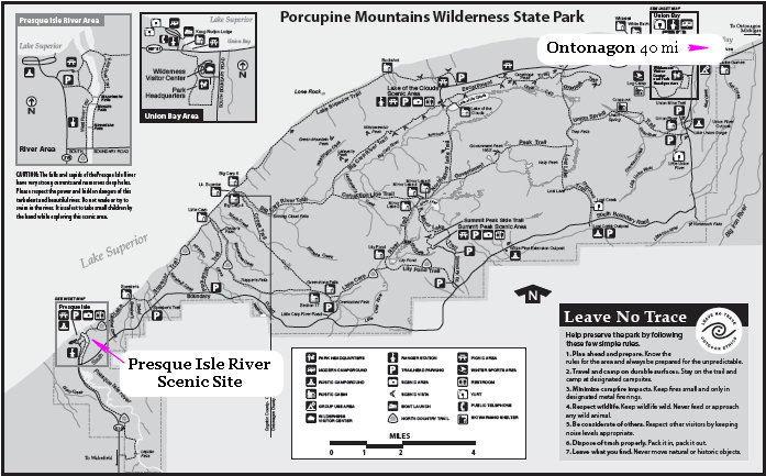
The above map shows the area we would be hiking today. The combined mileage of our selection of trails was 6.2 miles. However, we did not quite make it there.
Click on the photos below for a larger image.
We arrived at the trailhead about noon. When we stepped out of the van we were hit in the face with warm, muggy air - and mosquitoes, lots of mosquitoes. Betsy wisely suggested we get back in the van, roll up the windows, restart the engine, and turn on the AC to have lunch and pack up in peace. This we did. After eating our lunch, packing our food and water for the trail and suiting up for the mosquitoes we hit the trail.
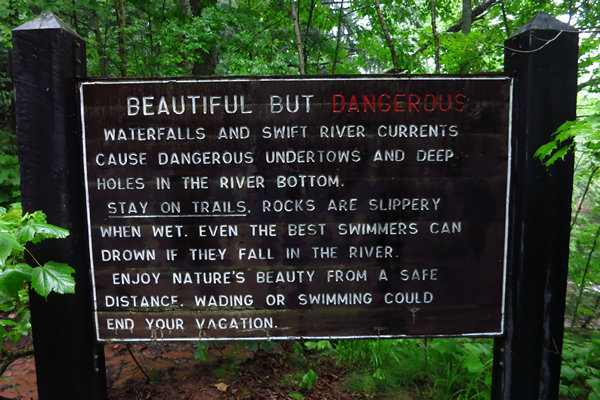
This section of the Presque Isle River is a very popular spot for day trippers like us as well as backpackers and site campers. I am sure there has been more than one tragedy here, thus the large signs at both the north and south trail heads.
Here is a bit about the beautiful and wild Presque Isle River.
The Presque Isle River runs 42.1 miles (67.8 km) through the Upper Peninsula of Michigan and empties into Lake Superior. Along its course, it flows through the Ottawa National Forest and Porcupine Mountains Wilderness State Park. It has 300 square miles (780 km) of drainage area in Upper Michigan and northern Wisconsin.
Several waterfalls are located on the river. They include (from west to east):
Manabezho Falls, Manido Falls, Nawadaha Falls, Iagoo Falls, Lepisto Falls, Nokomis Falls, Nimikon Falls, Minnewawa Falls, and Yondota Falls.Source: WikiPedia
As soon as we hit the trail we started seeing some of our north country friends. Here we have the Stiff clubmoss (Spinulum/Lycopodium annotinum). The plants are similar to ferns in that they are non-flowering, spore producing vascular plants.
Clubmosses or Lycophytes evolved some 410 million years ago as one of the earliest groups of vascular plants (plants with special tissues xylem and phloem to conduct water and food, respectively, in this group of plants). Some 300-plus million years ago, tree forms of both clubmosses and horsetails along with ferns dominated the great coal swamps of the Carboniferous geological period. Tree forms of tree clubmosses that once reached heights of 100 feet have left an excellent fossil record of the woody tissue of tree forms.
Here we have the Stiff clubmoss (Spinulum/Lycopodium annotinum) growing intimately with Bead lily AKA Clintonia (Clintonia borealis). We always see this interesting plant on our trips here but have rarely been here at the right time to see it in flower.
Clintonia has an interesting reproductive cycle.
The plant reproduces via seed or vegetatively by underground rhizomes. Flowering in May and June, it takes over a dozen years for a clone to establish and produce its first flower, 2 years of which are dedicated solely to germination. The older parts of the rhizome starts to die after approximately 15 years, but new parts continue growing. One colony often covers several hundred square meters. Few specimens establish new colonies.
Clintonia borealis is native to the boreal forest in eastern North America, but is also found in other coniferous or mixed forests and in cool temperate maple forests. It is not found in open spaces, and only grows in the shade.
Source: WikiPedia
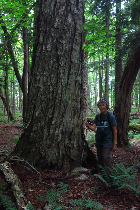
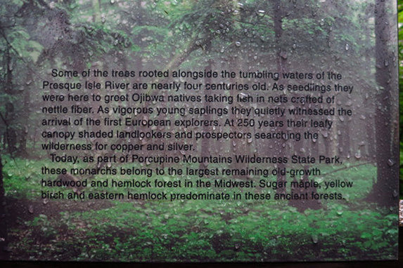
The "Porkies" are renowned for their big trees. Here we have a White Pine (Pinus strobus). This species along with Sugar Maple, Yellow Birch and Eastern Hemlock combine to make the most extensive stand of old growth northern hardwood forest in North America west of the Adirondack Mountains.
Waterfalls are a big tourist attraction here in the Upper Peninsula of Michigan and there have been a number of books and websites produced to point the way to them.
There were many large logs in the river. I cannot imagine seeing and hearing the raging water which no doubt tossed them around like tooth picks.The couple shown here have decided to tempt fate and partake of the cool waters of the Presque Isle River. We saw another couple perched on a ledge over the water. Yikes.
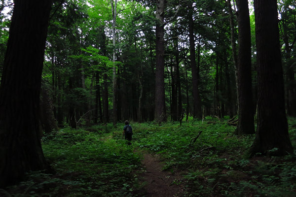
This is the north woods view that I love. Big trees, and a thick covering of tree seedlings and wild flowers. And the fact that one can see more than 50' into the woods makes it even more interesting.
There were many fine specimens of Eastern Hemlock. We saw trees which were 36" in diameter at breast height (DBH) and nearly a hundred feet tall.
Here is a fern that almost always grows on rocks (lithophyte). In fact one of its common names is Rock polypody (Polypodium virginianum). I seldom see this plant growing on the ground. This was rooted in what was left of a well decomposed log.
As we hiked along we noticed the warmth and humidity getting even more oppressive and it was not long before we heard the low rumble of distant thunder. We continued on. We were ready for any rain. That would not stop us!
We have seen these scoured holes before but I don't think we have ever seen one which was such a perfect circle. I wonder what the native people thought of these anomalies and if they understood how they were made.
Believe it or not this is a Yellow birch (Betula alleghaniensis). I am guessing this tree was about 60' tall with a crown spread of about 50'. Gorgeous!
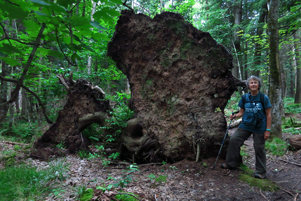
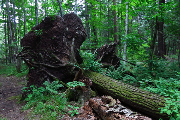
This is one of several blow downs we saw along with some trees which were just snapped off 20 or 30 feet up.
By now it was starting to sprinkle a bit. No worries. We are ready for the rain.
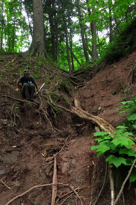
We have now left the River Trail and are on the Lake Superior Trail. What a mess. And treacherous as well.
BTW - the Lake Superior Trail follows a section of the 4600 mile North Country Trail.
By now the rumble of thunder was no longer distant and the woods were getting dark. Then it hit and we were enveloped in a torrential down pour. Because of the temperature we had opted for umbrellas rather than rain parkas. But with the heavy rain and wind the umbrellas did little to keep us dry and after about a half hour of continuous downpour we were completely soaked.
We hoped the storm would move through and if not clear out, diminish. This did not happen. When we came upon another steep and rutted section of the trail like the one above we decided to call it quits and start back to the River Trail.
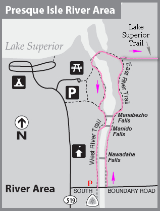
If you look at the map above, it shows a loop trail along both sides of the river. However, there is no symbol for a bridge where the dashed line crosses the river.
Would there be a bridge? Or would we have to ford the river? Hmmm...
This was not all that important since we could back track on the East River Trail.
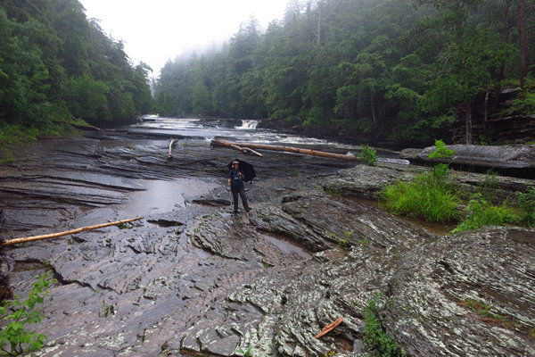
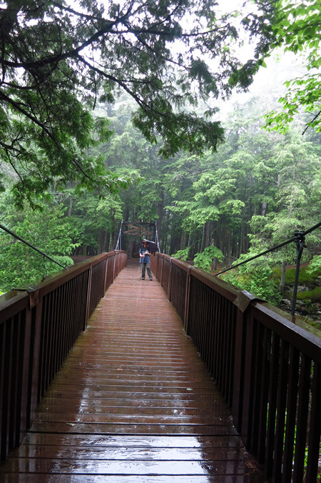
Here we are on the east side of the river bed. The entire flow was going down a chute on the other side of a small crest which divided the river. We got lucky. There is a bridge across the river. A substantial bridge. A million dollar bridge.
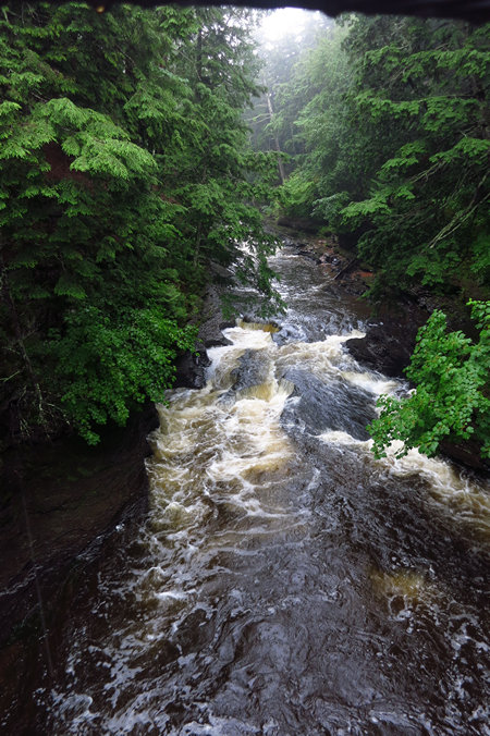
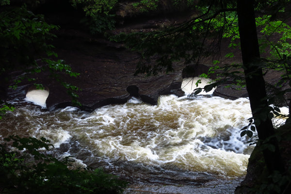
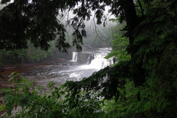
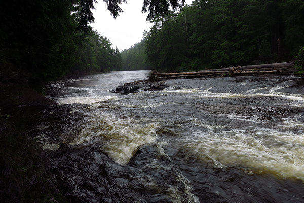
And here is the view from that bridge.
Looking at this I could not help but wonder if this was a white water destination for the likes of JB and Ben. We saw no signage which referred to boating of any kind on the river. This would be quite the thrilling ride would it not?
Here is Betsy on the suspension bridge over the Presque Isle River. It was still pouring down the rain.
Yet another warning. I like the part where it says "Wading or swimming could end your vacation".
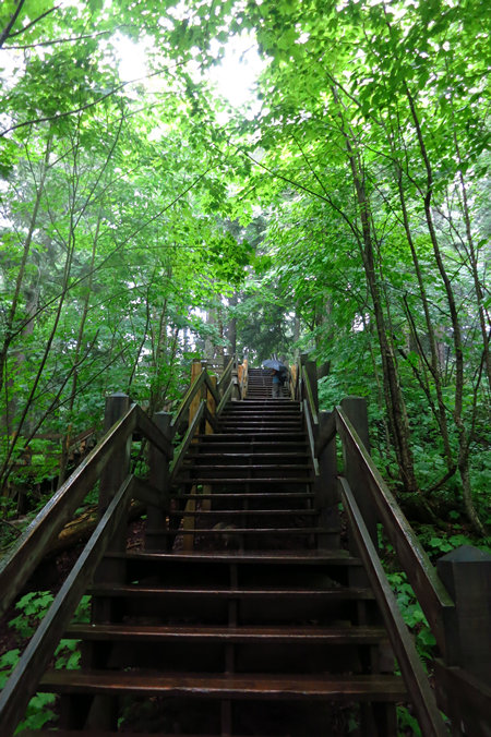
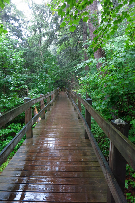
On the west side of the river there is an extensive network of steps and elevated walk ways that leads to various vista points. Very nicely done to say the least.
More scour holes.
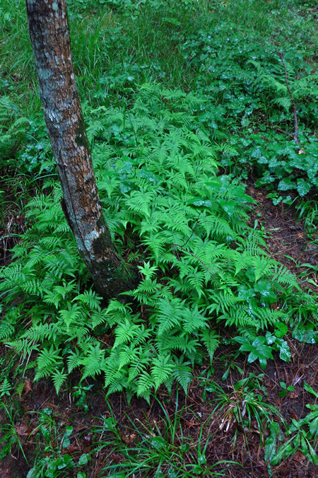
This beautiful stand of Long beech fern was below one of the elevated walk ways.
Click to read.
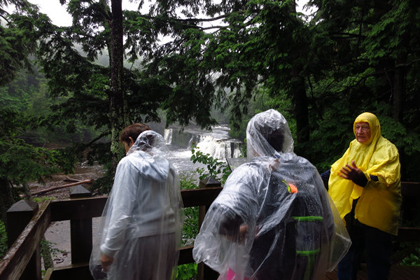
As you can see, we were not the only ones out and about. It was still pouring.
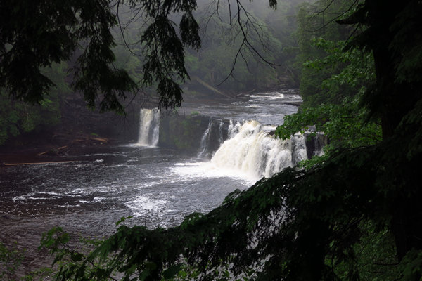
Pretty spectacular.
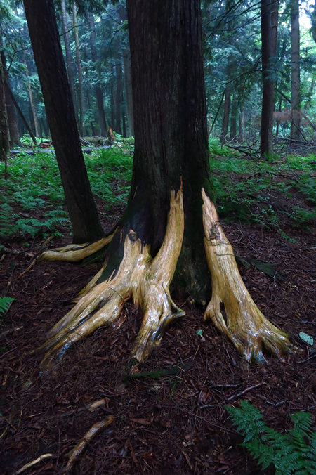
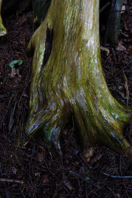
I was puzzled by the missing bark from this Arborvitae.
It turned out the tree was dead and something/someone had been stripping the bark off. Why?
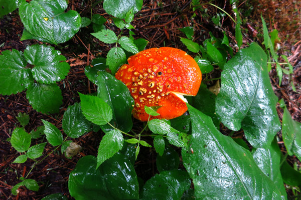
This may be Amanita flavoconia - the Orange Amanita. Or is it A. muscaria? I am sure PA Ryan will verify or correct my ID.
The last shot on this hike. I ended up down by the water when I went to retrieve Betsy's umbrella. On one of the steep sections she had slipped and fallen and her umbrella went tumbling down to the water's edge. It snagged at the last second and I went down to retrieve it. And thus the last picture above.
We got back to the van soggy and a little beat. Both of us were looking forward to what was coming next: pasties and beer!
Wednesday - 19 July: Norwich Bluff in the Trap Hills
Our first night in unit #7 at the Superior Shores Resort was uneventful.
After a dinner of pasties and beer we settled in for the evening and enjoyed the sound of the waves on the shoreline. There is a large sliding picture window in the sitting room area that is only about 20' from shoreline.
And just a few feet away from the window is a White Pine which is about 3 feet in diameter. Nearby is a Yellow birch which is about 18 inches in diameter. So far it has been a pleasant place to stay and being able to sit by the window and watch the waves and gaze out into the vastness of Lake Superior has been a treat for both of us.
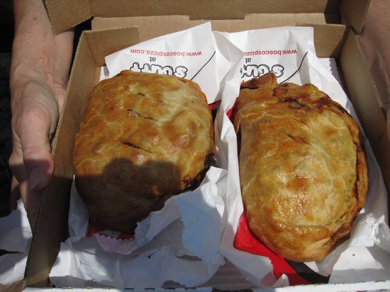
Before we go on I think it is a good idea to talk about the pasties we had for dinner.
Anyone who has crossed the Straits of Mackinac could not help but see the large signs for "Pasties". Betsy and I are no exception and I imagine we had our first pasties in the early 80s. Most likely they were from "The King's Pasties" or "The Queen's Pasties". Both of these pasty joints were near the Straits of Mackinac and in close proximity to each other.
I don't know if they were rivals or cohorts but both of them were there for many years. Now they are both gone.
At the time we were pasty newbies. Now, decades later we are more discerning about our pasties and we now refer to the type of pasties which were served up by the King and Queen as "tourist pasties". These are pasties which are small, over priced and bland. But they are still pasties.
Here is a bit of pasty history courtesy of the Walker Arts & Humanities Center at Michigan Tech.
History of the Pasty
When one thinks of gifts from other cultures that carry with them great historical significance, one usually doesn't think of food. In the Upper Peninsula of Michigan there is a food delicacy that has gone ethnic to multi-ethnic and finally to regional. To many people in the Upper Peninsula, the pasty is much more than food, it is an identifying cultural mark that gives them their own identity. While it is a source of great pride to this region, the pasty itself, especially its ancient history is shrouded in mystery.The easiest way to describe a pasty, is a pot pie without the pot. Nobody knows for sure where and when the pasty originated. It's thought to have been invented when the preparation of food became an art rather than roasting a hunk of meat on a stick. The pasty came to the Upper Peninsula through Cornwall England. When tin mining started going bad in England during the 1800's the Cornish miners immigrated to America hoping to earn there fortunes in newly developing mines. No one knows for sure though whether the Cornish invented the pasty, or whether they picked it up from some other group.
Mrs. R.F. Ellis of Cornwall insist that the Cornish invented it and that it is a diminutive of the star gazed pie, which is a type of pie baked with fish, such that the fish heads stick out of the pie. Others think the Vikings may have brought the pasty to the British Isles when they invaded. And another theory states that it may have been derived from the Italian "pasta", since the Cornish were considered to be great seamen.
Now, here is a bit of pasty history courtesy of Mike and Betsy.
In 2010 we had the first "Three Weeks in Michigan". On that trip we found the Ultimate Pasty.
These giants came from Jim’s Pizza in Calumet on the Keweenaw. It turned out Wednesday was Pasty Day at Jim's and we just happened to be there on a Wednesday. We have never been back to Jim's and now it has been 7 years since the Day of the Ultimate Pasty.
Since we are on the topic of food: while I did some web work Betsy cooked us some breakfast to get us fueled up for our hike to Norwich Bluffs in the Trap Hills. She has gotten pretty good at making scrambled eggs with cheese and bacon in a hotel microwave and it costs only pennies. Eating breakfast out? At least 15 bucks for the two of us.
Now that we are fueled up, let's go for a hike!
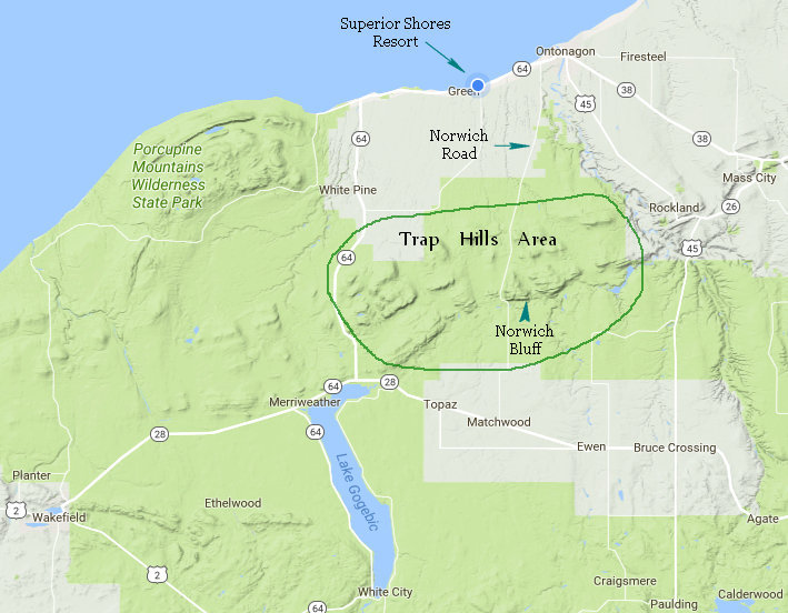
Here is the area we will be hiking today. It is about a 15 mile drive from where we are staying.
Like much of this area the Trap Hills has a rich copper mining history, especially in the area of the old town of Norwich.
Norwich Mine (Essex Mine), Norwich, Ontonagon Co
A rich vein of copper was discovered in 1846 near the Ontonagon River and work was started in 1850. The American Mining Co. of Vermont organized the Norwich Mining Co. in 1855. Work continued until 1858, when the mine was leased on tribute. In 1863, the company was reorganized and consolidated with the Windsor Mining Co. In 1864, the company merged with the Hamilton Mining Co. The mine was closed in 1865, but work continued on tribute until 1869. In 1899 and 1900, some work was done at Norwich under the name of Essex Mining Co. The mine produced an approx. total of 993,000 lbs. of refined copper.
If you have an interest in such things there is a good post entitled "A night and a day at the Norwich mine" with more info on mining in the area as well as some excellent photos.
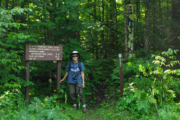
Here we are at the trail head along Norwich Road. Like many of the trails we hike in the UP this one is a segment of the North Country Trail.
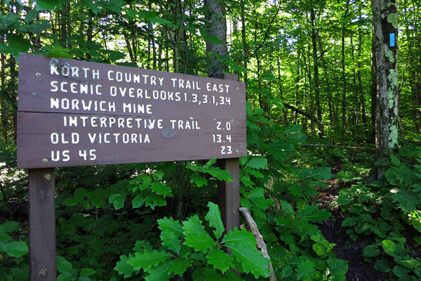
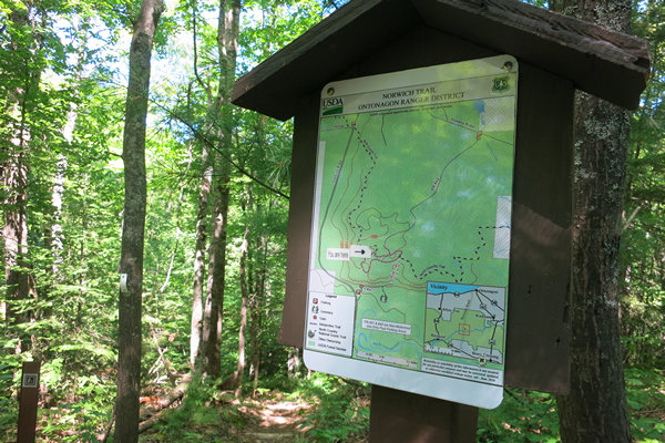
The "Scenic Overlooks" is where we will be hiking to. This trail has lots of ups and downs with some nice steep sections and an occasional pop out to the bluff for a fabulous view of miles and miles of trees and gently rolling hills. Oh, and did I mention mud? It seems mud is a must on most of the trails we hike up here in the UP.
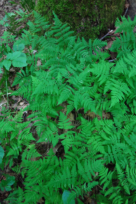
The first mile or so of the trail was flanked on both side by thick stands of the Oak Fern (Gymnocarpium dryopteris).
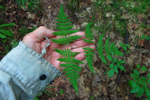
I have always considered the Oak ferns to be small ferns - until I saw this husky specimen.
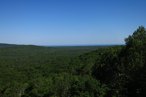
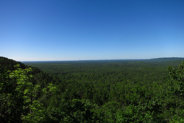
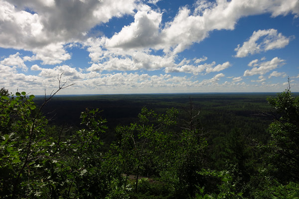
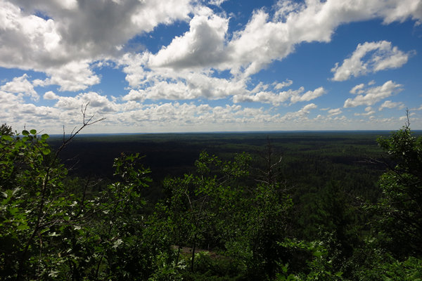
After about a mile of uphill hiking we popped out to the first of several panoramic views of the Great North Woods of the Upper Peninsula of Michigan.
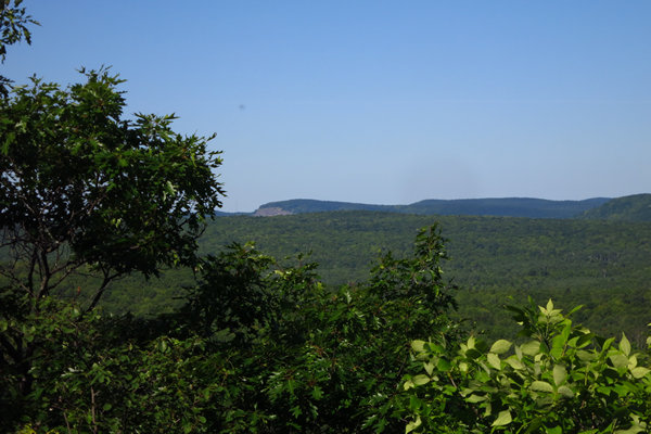
The rock face seen to the left of the photo was an area Betsy and I hiked on June 26th of 2010. That account can be read here.
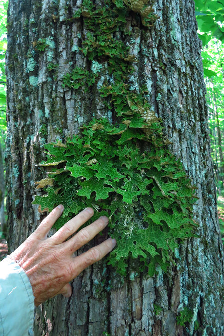
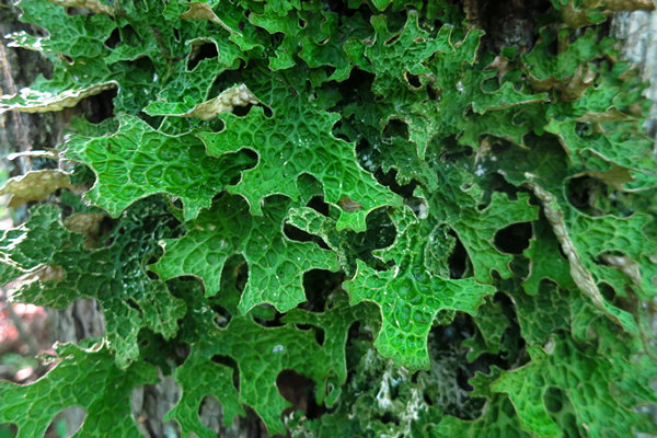
This is a foliose lichen we saw on a Sugar Maple near the overlook. Which species of lichen? I have no idea. It reminded me of the ones we saw in the dense, wet forests of Acadia National Park which we visited in 2013.
You can read more about lichens at Natural Perspective - The Fungus Kingdom: Lichens
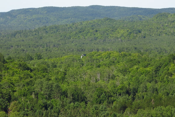
The vistas just kept on comin'! I would sure love to know the story behind the structure seen here. Is it a house? Who owns it? How do you get to it?
The views seemed endless...
After more up and down hiking, some of it quite steep, we reached Norwich Bluff.
Here is one of those signs with a "You are here" marker which not only obscures part of the map but is already peeling off. Nice map though.
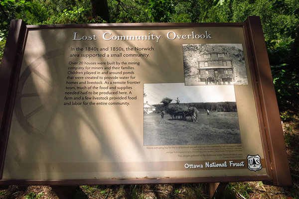
Norwich is long gone like so many other boom and bust communities which tied their hopes and dreams to a limited resource.
By 1843 exploration for copper was in full swing in the Norwich area. At first, access was via the original Ojibwe trail, and then by the "Miner's Road" which closely followed the trail route. While called a "road" it was still a long and arduous journey from the mouth of the Ontonagon River to Norwich Bluff, first by small boat and then overland.
Once copper was found in promising quantities, a flood of mining companies came to the area, and opened over a dozen underground copper mines, many of which were associated with other nearby mines. Most successful was the Norwich Mine, which operated steadily from 1850 to 1860, under the ownership of several mining companies, and intermittently by others until 1916. However almost all copper removed (~500 tons) was taken out by 1860.
A town, Norwich, developed at the base of the bluff to support the mine. Today that town site has little remaining, though the area may be explored by parking at the Forest Service parking lot accessed by a short gravel road that goes NNE from Norwich Road a short distance north of the bridge over the West Branch.
Source: Peter Wolfe Chapter of the North Country Trail Association
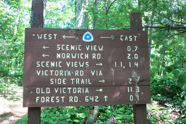
Enroute to the next vista point we came across this sign. "Old Victoria" refers to a restored copper mining community which is well known in the area and a tourist attraction - albeit a remote one.
A relic of the copper-mining days is the town of Victoria, built near the original site of the site of the famous Ontonagon Boulder. Like so many communities, Victoria lost its spark of life when the copper industry abandoned the area. But unlike other small, almost forgotten mining towns, Victoria is being brought back to life by a large restoration project aimed at recreating the mid-1800’s community as it was in its peak.
Miners came to the hills of Victoria in 1849 seeking copper and sliver. Mining camps such as Victoria sprung up overnight, usually near ancient miners pits, then vanished just as quickly. Although Victoria was a low-grade operation, it continued to produce sufficient copper to making mining in those hills, profitable.
One of the reasons for the success at Victoria was the use of the mighty Ontonagon River. It produced power to operate the mine’s operation through the famous Taylor Air Compressor, the most powerful device of its type ever built.
The "Taylor Air Compressor" referred to above is a device called a "tromp".
A trompe is a water-powered gas compressor, commonly used before the advent of the electric-powered compressor. A trompe is somewhat like an airlift pump working in reverse.
Trompes were used to provide compressed air for bloomery furnaces in Catalonia and the USA. The presence of a trompe is a signature attribute of a Catalan forge, a type of bloomery furnace.
In Paris they were used for a time to compress air to drive the city's first electricity generation scheme, and in the Alps they were used in France and Switzerland to provide compressed air for early alpine tunnels.
Trompes can be enormous. At Canadian Hydro Developers' Ragged Chute facility in New Liskeard, Ontario, water falls down a shaft 351 feet (107 m) deep and 9 ft (2.7 m) across to generate compressed air for mining equipment and ventilation.Source: WikiPedia
Now we have arrived at the last of the scenic overlooks on this hike. We have had a delightful three and a half mile walk in the woods and it is time to do an about face and return to the starting point.
My last vista shot of the day. I found it impossible to capture the feeling of vastness with my tiny little digi-snapper.
On our way back I took a few more snaps of some ferns and a milkweed which we do not often see.
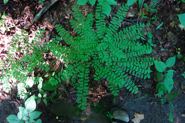
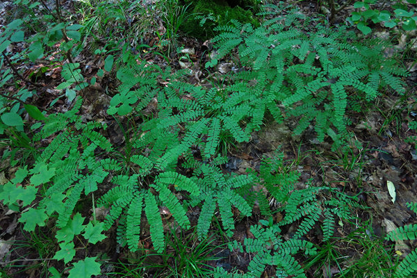
Here is the lovely Maidenhair fern (Adiantum pedatum). We do not often see this species up here in the Great Lakes area.
Pretty.
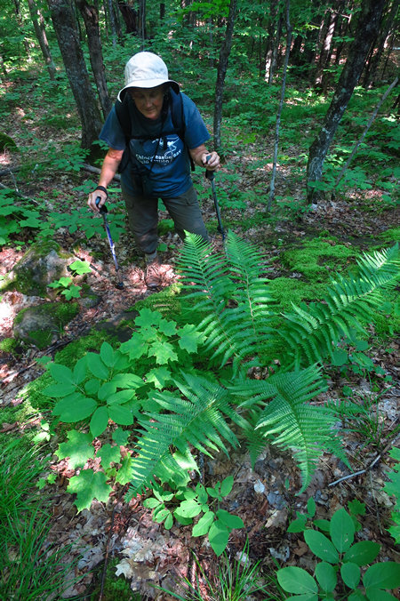
We came across this robust specimen of the Male fern Dryopteris filix-mas growing on a boulder directly adjacent to the trail. Lucky us.
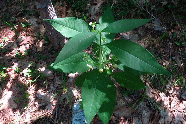
Almost all of the Milkweeds we see are out in full sun and often in fields or along road sides. Not so for the Poke Milkweed (Asclepias exaltata).
This is our only truly forest understory species, usually in dry or rocky forests and savannas with oaks and other trees such as hickory, pine, and aspen; banks and borders, even roadsides; much less often in rich beech-maple forests or swamps.
The leaf blades are glaucous beneath, rather thin in texture, broadly elliptic, and somewhat acuminate at both ends. They resemble the leaves of Phytolacca (pokeweed), and the species has been known as A. phytolaccoides Pursh.
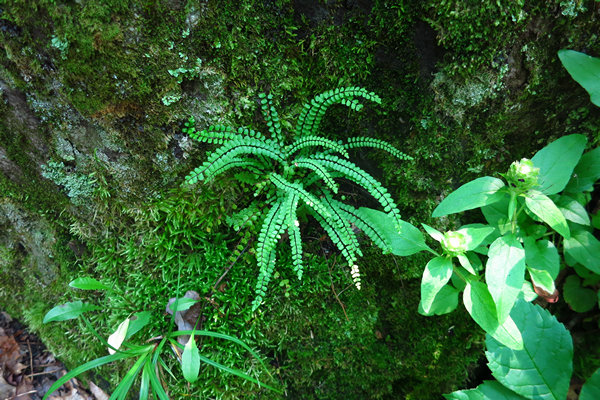
And last, but certainly not least, the lovely little Maiden-hair Spleenwort. This little cutie is found primarily on limestone or calcareous substrate and prefers a shady and damp site. This was the only plant we saw and it was so close to the trail we almost brushed against it.
When we got back to our lakefront retreat we chilled for the rest of the day. For Happy Hour we broke open the bag of crunchy Cheetos. I had several Labatte Blues and Betsy tried out a new one: Blackrocks Coconut Brown Ale. She was not too crazy about it and switched to Blues after one can. Henceforth this will be known as Betsy's "Blue Period".
I guess we will have to go shopping for beer soon.
Today we are taking the day off and will go nowhere but the store and the beach.
Tomorrow we "break camp" and head north and west.
Bye-bye for now,
Mike and Betsy
