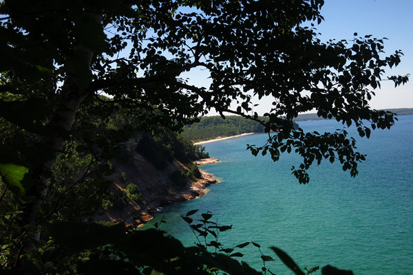
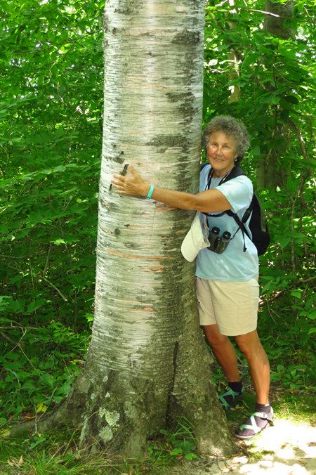
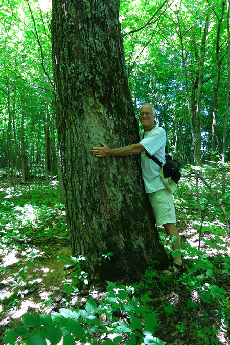
Mike Breiding's Epic Road Trips ~2016~
Michigan Road Trip
Back to the Great Lakes and the Great Hikes
Smoked Lake Trout, Hikes in the North Country, Cooling Dips, Riding the Rail-Trails, Brewery Hopping
Part IV: Sunday, July 17th - 2016
Manistique to Marquette
Our second morning in Manistique started out clear and breezy but by the time we left, clouds had started to move in and the temperature was on the rise. We set about sorting out stuff in the room and getting the van packed. The entire time this went on there was a crowd of people in front of the next room over drinking their coffee, yukking it up and smoking like chimneys. Gross.
We pulled out of the hotel lot around 8:30 and headed west on US 2 and then picked up SR 94 which took us through the downtown area of Manistique and out into the countryside. We barely saw a car all the way to Shingleton, about 40 miles. It looked to us like Shingleton has hit a low point. Both the gas station and the restaurant were closed and the town had a general feel of abandonment. By now it was totally overcast and had started to sprinkle on and off. Another 10 miles on 94 put us in Munising where we decided we would stop for breakfast.
We ended up at The Navigator where we were seated at a booth with a view down Elm Street where we could get a glimpse of Lake Superior. Most of that view was dominated by a giant sign for Pictured Rocks Cruises.
We ordered the three egg "Superior Omelet" which has a combination of ham, sausage, bacon, mushrooms, onion, tomato, peppers and cheese. We had American fries on the side. We asked for it to be split and it arrived on two separate plates. Considering all the ingredients it was not that flavorful.
Our young waitress was obviously having a bad day as she never cracked a smile or had a pleasant comment for us.
We checked out at 10:45. The damage was $13.33. Not bad for two people. We like that splitting of meals.
Now we are on SR 28 west. This section of road has a "Scenic Route" designation and justifiably so as it has many fine views of Lake Superior. Fine if one was not driving through a torrential downpour like we were. Visibility was getting limited and I was glad there was little traffic on this section of roadway.
In about 40 miles we joined up with US 41 west and a few miles later we were in the city limits of Marquette. We spotted the Birchmont Motel on the left as we drove by and made the decision to head on into town to get our bearings. It was still pouring rain.
We made a drive through town. It was pretty quiet which is to be expected on a Sunday. It was now about 12:30 and Betsy called the Birchmont to see if could check in which was no problem.
We arrived at the hotel in a steady drizzle, got checked in and then started unloading the van. We had to schlepp everything to the second floor. We always ask for a top level room to avoid any noise from the heavy footed.
Once we were unloaded we decided to drive a mile east to the Visitor Center to pick up some local info. It was then we found out US RT 2 - a major artery - was closed on the section to Duluth MN. Apparently the area had received about 12 inches of rain in an hour and tornadoes which flooded the roadway and took out bridges. This will be a major hassle for locals and truckers as the detour is significant.
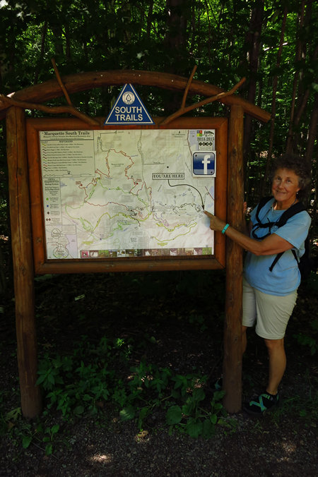
When we left the visitors center we drove west towards Marquette and then left onto Power Cliff Road to look for the "Marquette South Trails" access points which we located and then it was on into Marquette for a walk about.
http://www.mqtcty.org/Maps/south_trails_network.pdfClick on the photos below for a larger image.
This was the first thing which caught our eye as we drove into Marquette. The amazing structure is an Iron Ore Pocket Dock. Obviously one end is missing. That is the end where rail cars could access the dock.
The ore comes to the dock via rail cars and is dumped into steel “pockets” or bins beneath the tracks. To load the boat, the chute is lowered to the open cargo hatch and a door at the bottom of the pocket opens, allowing the pellets to run into the boat shown in the picture. Loading time is variable, depending on the size of the boat and how prepared the dock is to load. Four hours is typical. Loading is the responsibility of the First Mate. It is important to load the ore in a proper sequence to avoid over-stressing the boat unevenly. Each chute (or drop of ore) is about 20 tons.
Source: Marquette County ©2014
Use of the dock was discontinued in 1971. Now it is somewhat of a Marquette icon and there are discussions now underway about how best to preserve the old industrial monument.
Ore docks were a common sight in many Lake Superior ports of Minnesota, Wisconsin and especially Michigan. Rich iron ore deposits were first discovered in the Upper Peninsula in the 1840s and remain a significant source of wealth for the state. By the 1890s, Michigan was the largest supplier of iron ore in the United States. Railroads would haul ore from the mines to great ore docks on the Great Lakes in places such as Escanaba and Marquette, where it would be loaded on ore freighters and transported to the rest of the country.
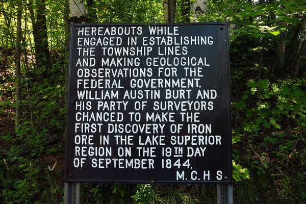
Iron ore was first discovered in Michigan's Upper Peninsula on September 19, 1844, by William A. Burt, who was then employed to lead a party engaged in surveying the Upper Peninsula on behalf of the United States government. Variations in the readings of magnetic compasses employed suggested that something was disturbing the local magnetic fields, and, on investigation of part of the Marquette Iron Range, ore was found as close to the surface as just below the sod.
Source: WikiPedia
The Presque Isle Dock which was build in 1911 is still commercially active. Each year approximately 9.5 to 10 million tons of ore are shipped from the Presque Isle dock. The dock is owned and operated by the Cliffs Natural Resources.
On a small knoll above the Iron Ore Dock is this monument to Jacques Marquette.
Father Jacques Marquette S.J. (June 1, 1637 – May 18, 1675), sometimes known as Père Marquette or James (Jim) Marquette, was a French Jesuit missionary who founded Michigan's first European settlement, Sault Ste. Marie, and later founded St. Ignace, Michigan. In 1673 Father Marquette and Louis Jolliet were the first Europeans to explore and map the northern portion of the Mississippi River.
Source: WikiPedia
There are two bas-relief sculptures on either side of the statue base. This one is a scene of some Voyageurs.
This one appears to be Father Marquette blessing some of the native savages. Check out the stance of the guy second from the left. He obviously knows bull shit when he hears it.
Both the statue and base have held up pretty well considering the somewhat harsh winter climate they have had to endure over the last 119 years.
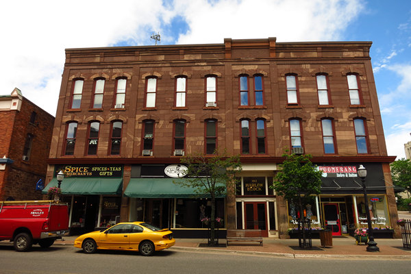
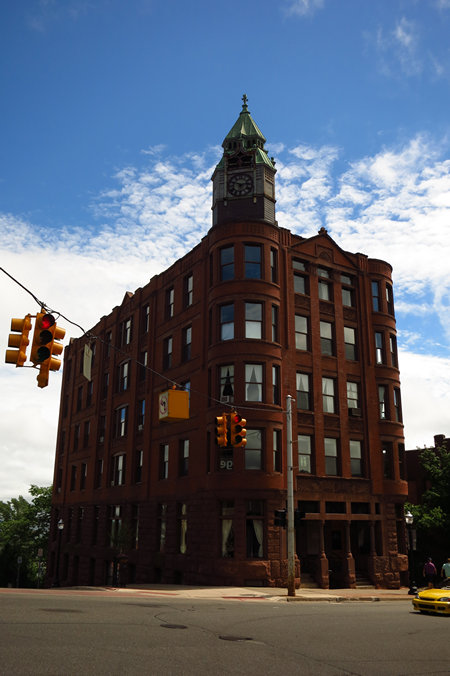
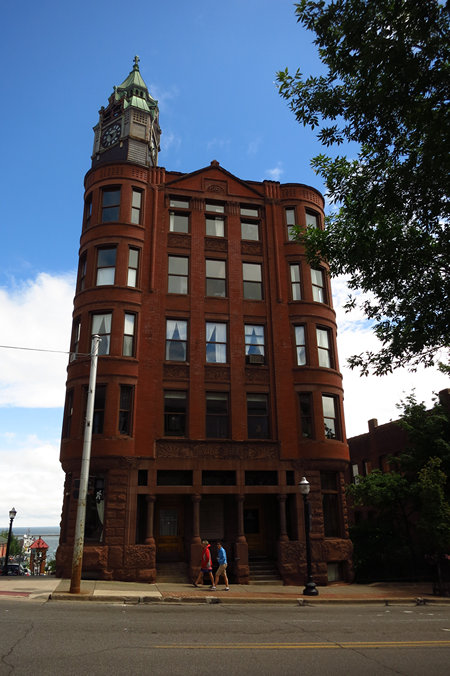
As expected we saw some fine old masonry buildings on our self guided walking tour. If you want the names of the buildings "look it up".
Many of the sides of this building used rough stone and rubble. Check out how the chimney bricks are peeking through.
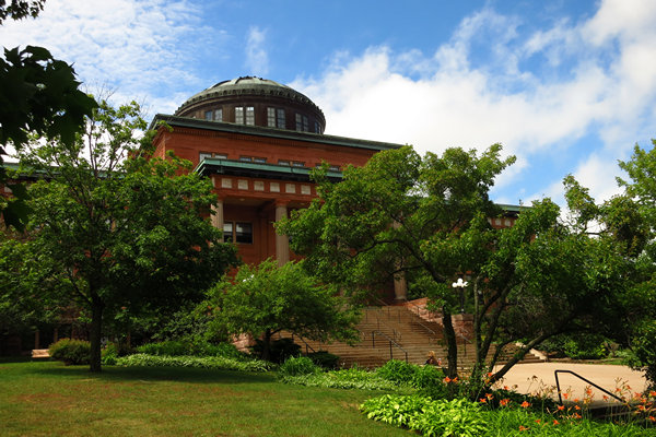
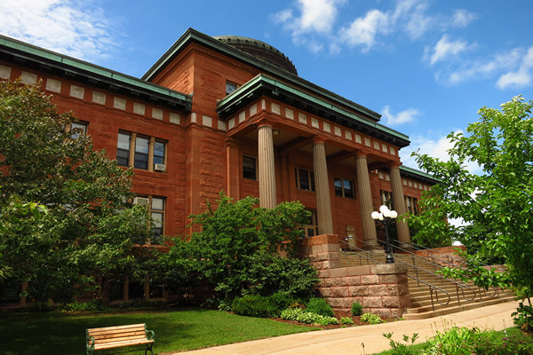
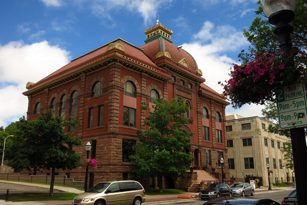
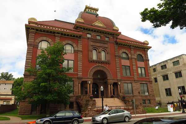
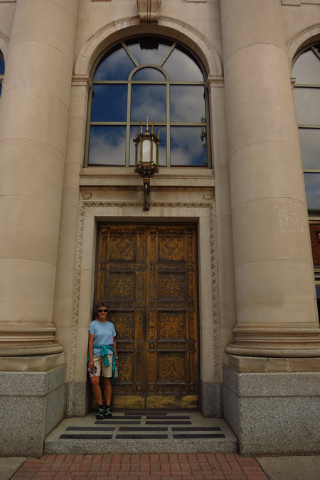
Most courthouses were build in a monumental style so as to project power and wealth. The Marquette County Courthouse is no exception.
In 1857, the first Marquette County courthouse, a wooden Greek Revival structure, was built on this site. By the turn of the century, that structure had become inadequate. In 1902, voters approved the issuance of $120,000 worth of bonds to construct a new courthouse. The earlier structure was moved off the site, and the county hired Marquette architect D. Fred Charlton (Charlton, Gilbert & Demar/Charlton & Kuenzli) to design the building. Northern Construction Company of Milwaukee, Wisconsin, was hired to construct the building. The county eventually spent $240,000 to complete the structure; it was completed in 1904.
Source: WikiPedia
This is St. Peter Cathedral.
One would think I had been drinking when I took this shot. Betsy's mother, Jeanne would have called this "Leaning towards fissures.
St. Peter Cathedral is a large Roman Catholic cathedral located on Baraga Avenue in Marquette, Michigan. As the mother church of the Diocese of Marquette, it is one of the most notable marks of Catholic presence in the Upper Peninsula. The cathedral was listed on the National Register of Historic Places in 2012
Source: WikiPedia
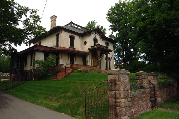
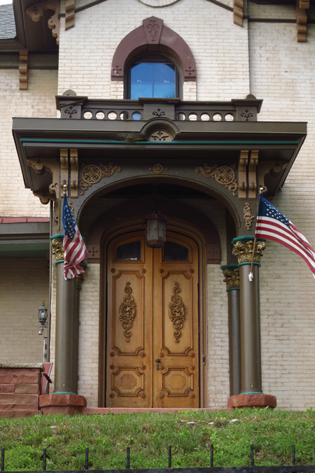
We came across this interesting old place as we cut over to the downtown area.
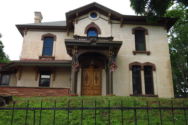
Beautiful entryway.
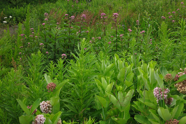
A touch of the wild in the middle of Marquette. This is a planting along one of the neighborhood green ways. We have here Milkweed and Joe Pye Weed.
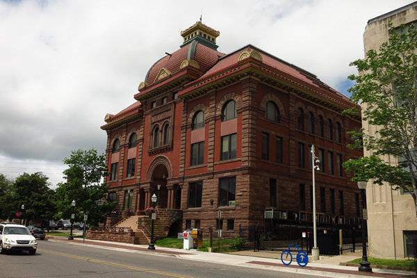
This is the Marquette City Hall. It gives a good idea of just how prosperous this town was in the hay day of iron ore production.
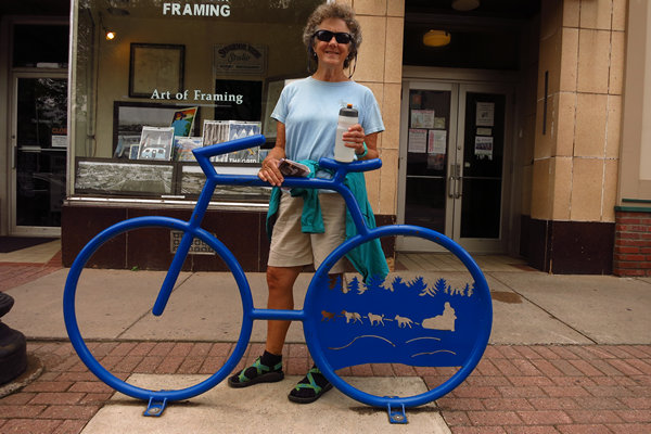
A street sculpture or a place to lock up your bike or both?
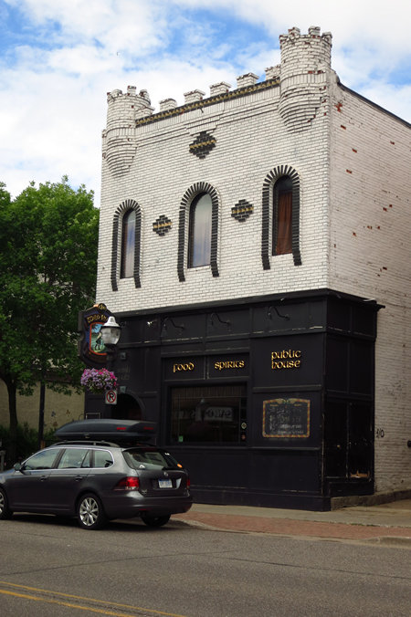
I'd like to know the story behind this place.
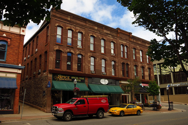
It's always good to see some of the oldies still standing.
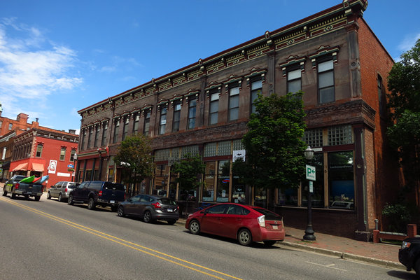
Another testament to Marquette's former wealth and prosperity.
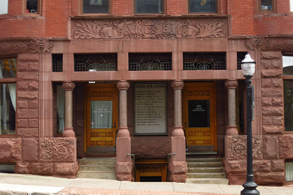
This is the Savings Bank Building. It is directly across from the First National Bank and Trust building.
The Marquette County Savings Bank was founded in 1890 by Nathan M. Kaufman, along with other prominent Marquette businessmen. The bank grew rapidly, and within four months directors made plans to move from their temporary headquarters and construct a new bank building. The lot at the corner of Front and Washington was purchased in January 1891. The new building was designed by the architectural firm of Barber and Barber and built in 1892 by Noble and Benson for a cost of $174,000.
Source: WikiPedia
Yet another big old structure. That's a lot of square footage there.
Marquette is obviously proud of its iron heritage.
Built to last!
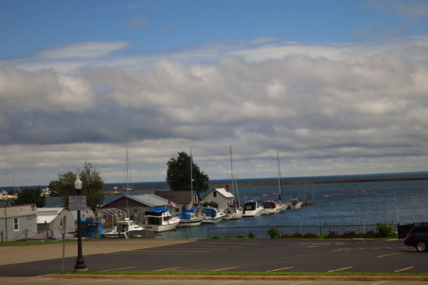
We passed by the harbor area then completed the loop back to the van. We must hurry now as Happy Hour is upon us.
Our hotel Happy Hour Station with Lake Superior in the background. After sampling our smoked Lake trout and enjoying our beers it was time to get some din-din.
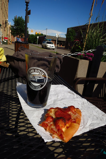
How did we end up here? I wonder...
Ore Dock Brewery serves no food other than popcorn but they encourage people to bring food in. There was a Little Caesar's just two blocks away and that came in handy.
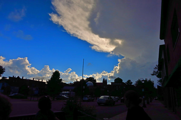
The last shot of the day. These lovely clouds preceded yet another series of torrential down pours as well as hail and tornado warnings.
If all goes we will soon be hiking up on Marquette Mountain.
See you then...
~Mike and Betsy
Our first morning here at the Birchmont broke clear. The rain had moved off and we were now promised lots of sunshine for the next several days.
PART V: Monday, July 16th 2016
In Search of a Waterfall and Hiking Mount Marquette
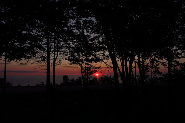
Our east facing room gave us a nice place to view the sunrise.
Today we had decided to take some local hikes. It was difficult and frustrating planning them. We had lots of maps but we found most of them sorely lacking in details like distances for both driving and hiking.
After several navigational SNAFUs we finally found the road to the trail head for Morgan Creek Falls. But as you will see it was not exactly the kind of road one would want to take a low clearance vehicle.
We decided to park and walk to the trailhead for the falls. One problem, the descriptions of the distances were so vague or non existent it was difficult to say with any certainty exactly how far we would need to walk to get to the trailhead.
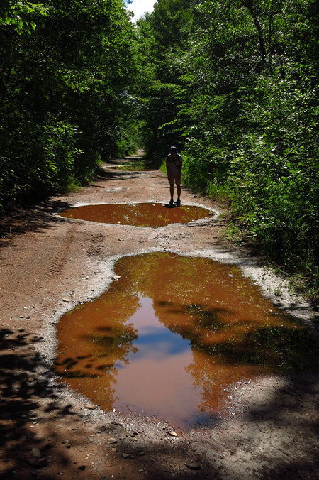
This is the road to Morgan Creek Falls. We quickly realized it was an old rail road bed.
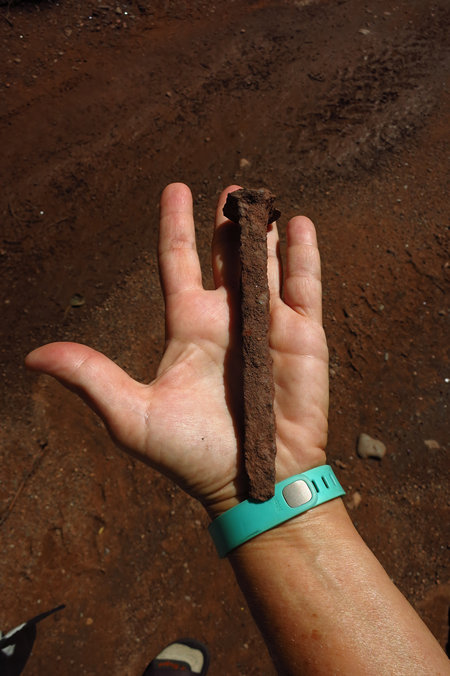
This was laying in the middle of the road. How would you like to see this sticking out of one of your vehicle tires.
We continued walking on down the road, still not exactly sure how far we would need to go. All the while I was pestered by deer flies. They did not bother Betsy in the least. Karma?
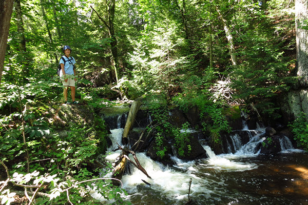
We finally came across this water fall. Surely this could not be it!
At that point we decided to head back to the van and look for another hike. It seemed pointless to continue walking down the road for who knows how many miles until we got to the falls trailhead. On the way back we ran into two gals in an ORV. After talking to them we confirmed we were many miles from the trail head.
It was a pretty walk back but the dang deer flies were a bit of a distraction.
Here we are at the trail head for our next attempt at hiking. This is about 2 miles from the Birchmont Hotel. We had stopped here the previous day to scope it out and found out these trails are primarily used by Mt Bikers and are described as "single track" trails.
Now, which one to hike? We wanted to get to the summit of Mount Marquette. We had several options. We could drive to the top in 5 minutes. We could walk the 1 mile on the road to get there. Or we could take a switch backed single track trail called "Scary". We chose the latter.
This trail is highly technical single track, with many rocks, roots and other obstacles to surmount along the way. Though the trail isn't very long, it's enough to get your heart pounding!
Source: mtbproject.com
The trail is short - 1.5 miles one way with about 250' of elevation gain. As we would find out there are some steep sections. It is a one way trail and meant to be ridden down hill for lots of cheap thrills. We were going up hill and would have plenty of time to take in the scenery.
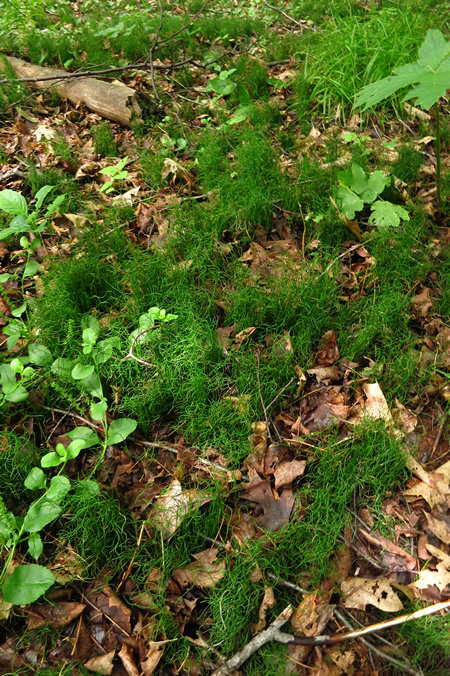
I was starting to see some of my familiar fern friends. Meet the Dwarf Scouring Rush (Equisetum scirpoides). There was a thick carpet of this behind the trail sign shown above.
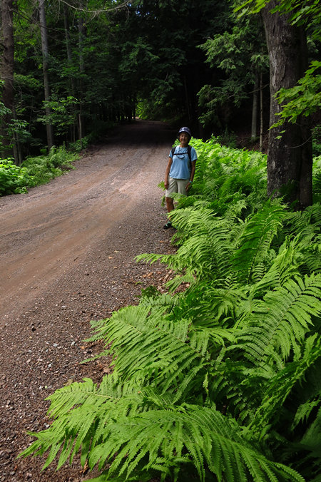
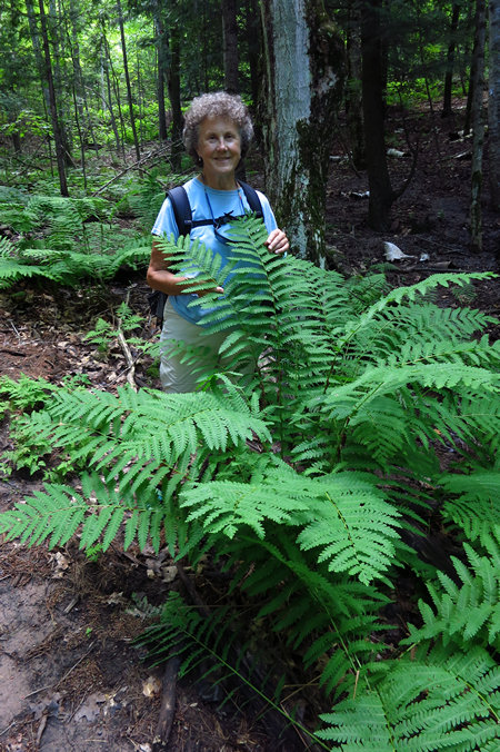
We saw lots of Ostrich Fern (Matteuccia struthiopteris). This species of fern has been used horticulturally for many years and can occasionally be seen in yard plantings. It is a rapid spreader given the right condition of consistent moisture and friable soil.
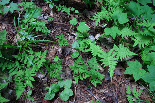
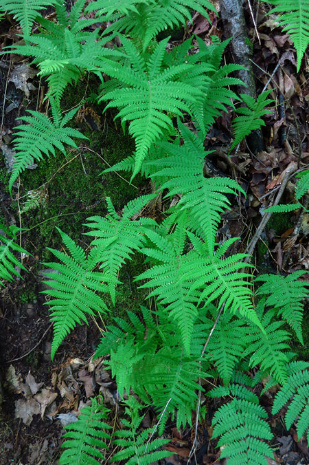
Here we have two common ferns of the north woods - the Long Beech Fern (Phegopteris connectilis) and the Northern Oak Fern (Gymnocarpium dryopteris).
Here is a dandy Interrupted fern! The Latin name is Osmunda claytoniana.
Osmunda claytoniana, the interrupted fern, is a fern native to Eastern Asia and eastern North America, in the Eastern United States and Eastern Canada.
The specific epithet is named after the English-born Virginian botanist John Clayton. "Interrupted" describes the gap in middle of the blade left by the fertile portions after they wither and eventually fall off.
Source: WikiPedia
The genus name "Osmunda", is from the Saxon god Osmunder the Waterman, who hid his family from danger in a clump of these ferns.
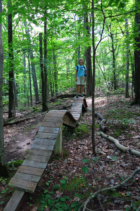
We saw a number of these bike challenges. Some were integrated into the trail, others were off to the side.
Another look at the Long Beech Fern (Phegopteris connectilis).
We have a similar species in West Virginia named the Broad Beech Fern (Phegopteris hexagonoptera). Gotta love that Latin binomial!
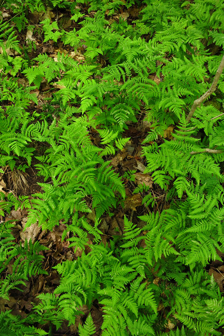
And here is another look at the Northern Oak Fern (Gymnocarpium dryopteris). As you can see they form dense colonies.
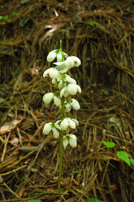
We have seen Pyrolla, also known as Wintergreen, in several places since we have been on this Michigan road trip.
Pyrola L. is a genus of evergreen herbaceous plants in the family Ericaceae. Under the old Cronquist system it was placed in its own family Pyrolaceae, but genetic research showed it belonged in the family Ericaceae. The species are commonly known as wintergreen, a name shared with several other related and unrelated plants (see wintergreen for details). They are native to northern temperate and Arctic regions.
Source: WikiPedia
Note above it states this diminutive little plant is in the family Ericaceae. This is the same family which includes Blueberries, as well as Rhododendrons and Azaleas. Flowering plants are classified by their floral parts, not the leaf shape, height or other characteristics that can be highly variable.
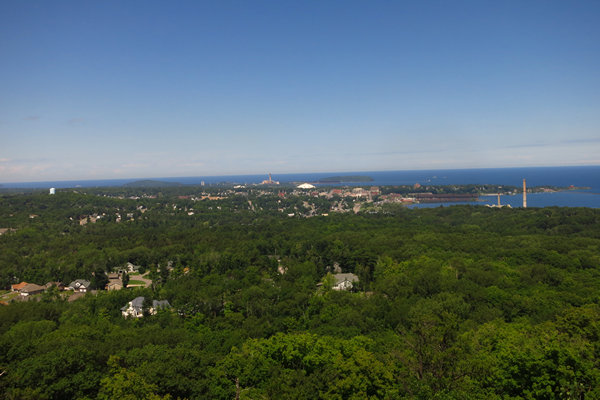
Here we are at the overlook at the summit of Mount Marquette. In the center of the photo you can see the stacks of a coal fired power plant that was belching out crap into the air.
The Presque Isle Power Plant is an electric generating plant located at Marquette, Michigan, on the shore of Lake Superior. The plant has 5 active generating units with a total net generating capacity of 431 Megawatts. This plant has two smokestacks 400 and 410 feet (122 and 125 m) in height and was built in 1955 by Cleveland-Cliffs Iron Company. Units 1 and 2 were retired on January 1, 2007. Units 3 and 4 were retired on October 1, 2009. Units 5 through 9 went into service between 1975 and 1979.
This plant generates 90% of the Upper Peninsula's electricity and 12% of the electricity in the Wisconsin Energy system. Half of the plants generating capacity goes to the Empire and Tilden iron ore mines on the nearby Marquette Iron Range.
We Energies has indicated that it may be forced to permanently shut down the Presque Isle plant in 2017 as it may not be able to meet new EPA pollution standards that will be in place at that time, though in 2012 there was an announcement of investment to upgrade the facility to meet standards.
Source: WikiPedia
The other two stacks on the right are from the City of Marquette's coal fired power plant. It began operating in Marquette in 1889 providing electricity to the community via hydro generation on the Dead River. It now uses approximately 200,000 tons of coal annually.
We relaxed, took in the view and ate some snacks before starting back. This time we opted for the road and were at the van in short order. Next stop? The Happy Hour Station!
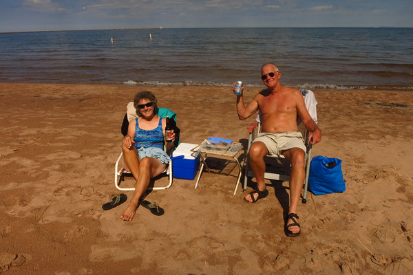
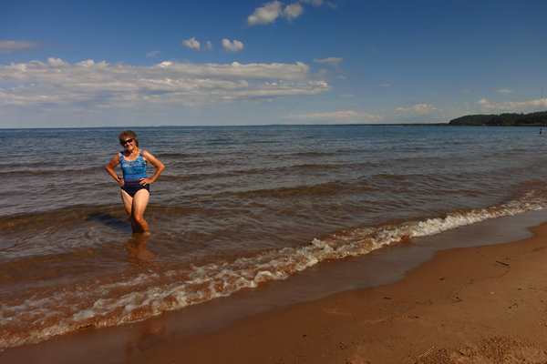
I commandeered another beach bum to take the picture for us.
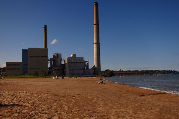
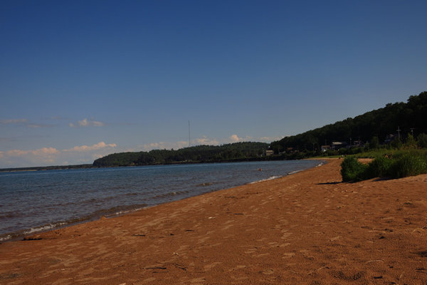
This beach is about 1 mile from the hotel and is called "South Beach". I think it might be more appropriately called "Power Plant Beach".
After some coaxing and cajoling Betsy struck the modified "Full Barbie" pose for me.
Ahhh...
The beach was quiet and very pleasant and there is full sunshine until 8:30 at night this time of the year.
What's on tap for tomorrow? We shall see...
~m&B
PART VI: Tuesday 19 July 2016: Hiking and Skinny Dippin' the Little Garlic River
Today we would enjoy another lovely hike in the woods although this one promised to be much quieter and more remote than our hike up to Mount Marquette. We had brought along a copy of the UP hikers' bible - "Hiking Michigan's Upper Peninsula" by Eric Hansen, and Betsy found what sounded like a really nice hike and the drive to get there was only about 30 minutes north of Marquette. The hike is 8 miles out and back and much of the hike follows the beautiful Little Garlic River with the bonus of a water fall at the end of the trail.
Knowing the following day we were planning a 28 mile bike ride we decided to the trim our Little Garlic River hike to 6 miles. This turned out to be easy to do as the trail comes close to Harrison Road, a very lightly used dirt road with a pull-off and spur trail to the Little Garlic River trail.
Now seems a good time to mention our hike will follow the North County Trail for all but a mile of it. Then we will pick up the Little Garlic Falls Spur and hike the remaining mile on that trail.
The North Country National Scenic Trail (NCT) stretches approximately 4,600 miles (7,400 km) from Crown Point in eastern New York to Lake Sakakawea State Park in central North Dakota in the United States. Passing through the seven states of New York, Pennsylvania, Ohio, Michigan, Wisconsin, Minnesota, and North Dakota, it is the longest of the eleven National Scenic Trails authorized by Congress. Like its sister trails, it was designed to provide outdoor recreational opportunities in some of the America's outstanding landscapes. As of 2010, over 2,100 miles (3,400 km) have been certified.
Source: WikiPedia
There are about 1150 miles of the NCT in Michigan. About 750 in the Lower and 450 in the Upper Peninsula. This adds up to a lot of great hiking. We had been on the NCT before and were never disappointed.
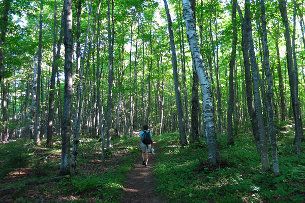
The spur from the road is only about a 1/4 of a mile if that and connects with the North County Trail very near a nice overlook of the Little Garlic River. As soon as we left the overlook area we were in a heavily treed and quiet woods. Heaven! Almost immediately we heard the call of the Hermit Thrush. This is the same bird that serenaded us for almost our entire hike up to the summit of Mount Marquette.
The ethereal flute-like song of the Hermit Thrush, heard rarely in winter and not at all during migration, is sung from the tops of trees or standing dead snags by males beginning as much as an hour before sunrise, and ending 30 or 40 minutes after sunset.
The song begins with a clear whistled note followed by three or more descending phrases that are usually pitched higher than the initial note. This pattern is repeated after a pause, but at a different pitch. The effect is of a theme with variations in different keys and has invited comparisons to human musical compositions. Phonetically, it may be rendered as oh- holy, holy, holy; ah- purity, purity, purity; eeh- sweetly, sweetly, sweetly. The final notes of each repetition are usually pitched higher and weaker, producing an echo-like effect.
Source: Cornell
Click here to listen to the song of the Hermit Thrush.
The woods and river banks are thick with ferns like the lovely Broad Beech fern.
Here we see a solitary Royal Fern (Osmunda regalis) growing out of a crevice in the boulder.
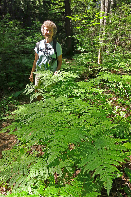
If there is one fern you will see when you visit the UP it is the Bracken Fern (Pteridium aquilinum). This hearty plant grows everywhere. Woods, roadsides, waste areas. There are 1000s upon 1000s of acres of this plant growing up here.
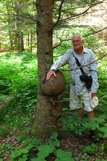
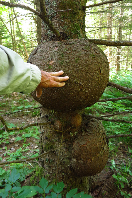
Check out this huge burl on a Black Spruce (Picea mariana). This is one of the largest Spruce burls I have ever seen. But they get much bigger. Check out this Google image gallery for more burl photos.
What is a burl?
A burl results from a tree undergoing some form of stress. It may be caused by an injury, virus or fungus. Most burls grow beneath the ground, attached to the roots as a type of malignancy that is generally not discovered until the tree dies or falls over. Such burls sometimes appear as groups of bulbous protrusions connected by a system of rope-like roots. Almost all burl wood is covered by bark, even if it is underground. Insect infestation and certain types of mold infestation are the most common causes of this condition.
In some tree species, burls can grow to great size. The largest, at 26 ft (7.9 m), occur in coast redwoods (Sequoia sempervirens) and can encircle the entire trunk; when moisture is present, these burls can grow new redwood trees. The world's second-largest burls can be found in Port McNeill, British Columbia. One of the largest burls known was found around 1984 in the small town of Tamworth, New South Wales. It stands 6.4 ft (2.0 m) tall, with an odd shape resembling a trombone. In January 2009, this burl was controversially removed from its original location, and relocated to a public school in the central New South Wales city of Dubbo.
Source: WikiPedia
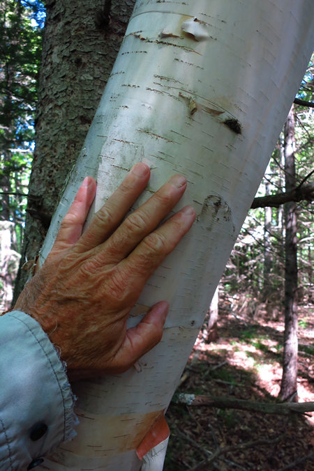
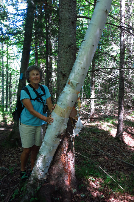
If there is any tree which evokes the feeling of being in the North Woods it is the Paper Birch (Betula papyrifera). I saw the largest Paper Birch I have ever seen on this trail. It was about 4' across at the base. WOW!
This sign is located at the crossing of Harrison Road. At this point the North Country Trail follows the roadway for a bit and the Garlic River Falls spur continues on directly across the roadway.
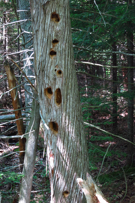
The woodpeckers had been busy working on this White Cedar (Thuja occidentalis).
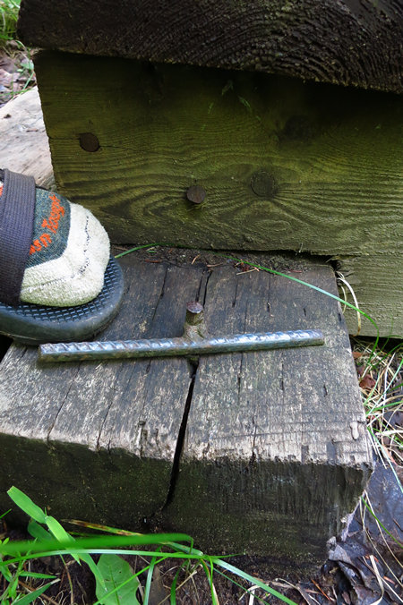
We crossed several small foot bridges which had been placed over small streams or wet spots. I noticed this home made anchor pin which was made from 1/2' rebar. Clever. I had not seen this type of home made fastener before.
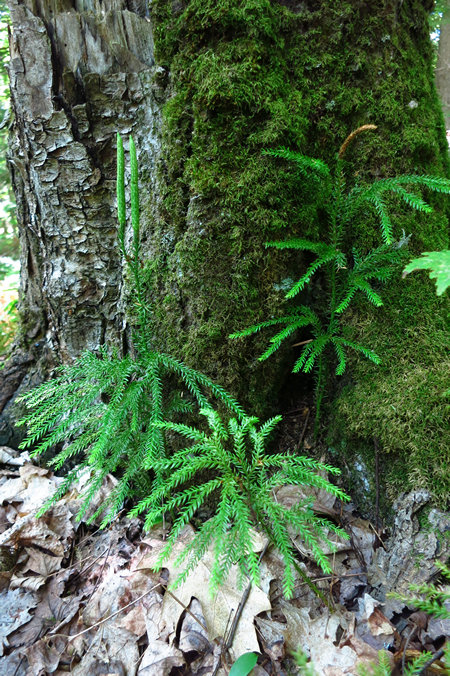
We saw lots of Tree Clubmoss (Dendrolycopodium dendroideum) which is a common plant in the north woods as well as in the higher elevations of our home state of West Virginia.
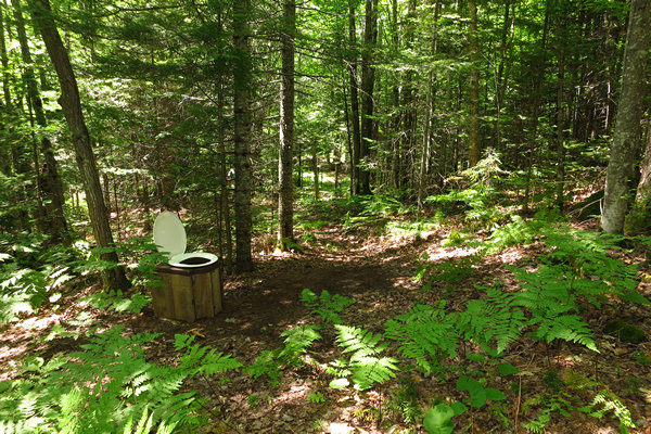
It is not often one gets to take a hike which has all the comforts of home.
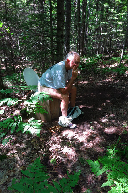
The Thinker.
Here we are at our destination, the Falls of the Little Garlic River.
Since almost the beginning of this hike we had spotted many primo skinny dippin' sites but we decided to hold out for the falls and enjoy one of the others on the hike back.
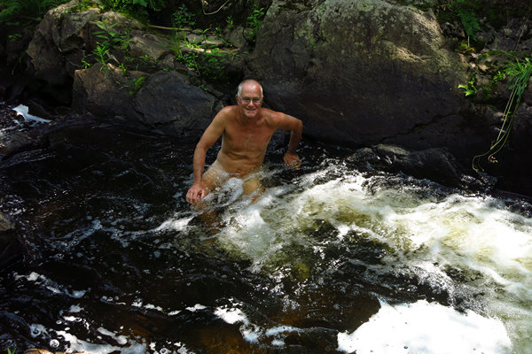
The water was a bit icy but refreshing.
Luckily there were some sun drenched boulders to warm back up on and speed up the drying off process.
After enjoying the cool water, our snacks and resting up a bit, we started the 3 mile hike back to our hikes beginning.
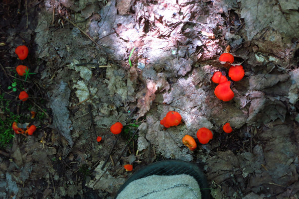
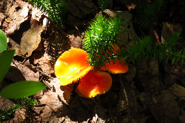
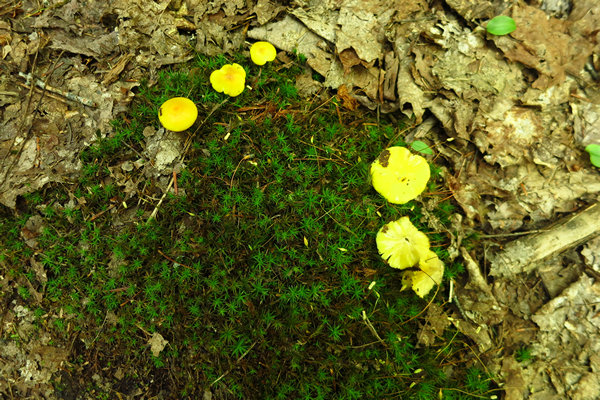
We saw lots of mushrooms along the trail. Few were larger than the size of a quarter.
It was not long before we were at out next dippin' spot.
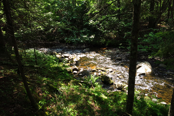
One fern.
Two ferns!
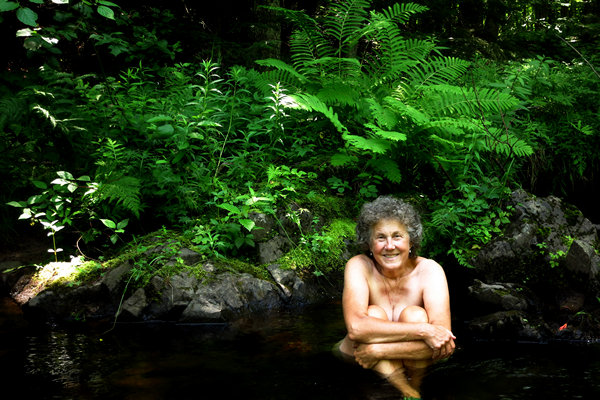
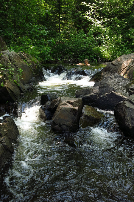
This spot was wonderful. A little patch of beach with a plunge pool which tumbled down these rocks into another wide shallow pool. Delightful.
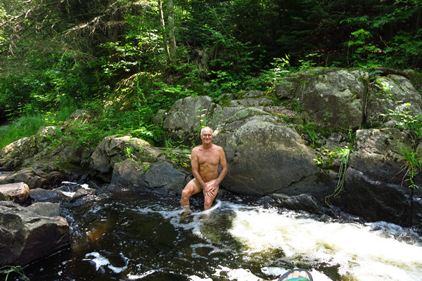
We enjoyed this spot and decided to name it "Jerry's Pool" for our favorite skinny dippin' buddy who is also known as "The King of Conner Run".
I finally decided to be as brave as Betsy!
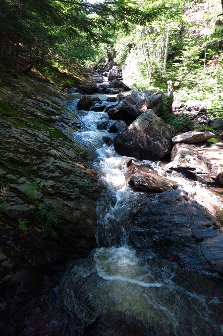
One last shot of the lovely Little Garlic River and we were soon back at the van and heading to another relaxing Happy Hour at South Beach in Marquette.
Part VII: Cycling the Iron Ore Heritage Trail - 21 July 2016
Marquette's very reason for being is the discovery of iron ore in 1844 in what is now nearby Negaunee.
The Marquette Iron Range is a deposit of iron ore located in Marquette County, Michigan in the United States. The towns of Ishpeming and Negaunee developed as a result of mining this deposit. A smaller counterpart of Minnesota's Mesabi Range, this is one of two iron ranges in the Lake Superior basin that are in active production as of 2015. The iron ore of the Marquette Range has been mined continuously from 1847 until the present day. Marquette Iron Range is the deposit's popular and commercial name; it is also known to geologists as the Negaunee Iron Formation.
Source: WikiPedia
And while we are on the subject, what is the difference between iron and steel?
The difference between iron and steel is that iron is an element, and steel is an alloy of iron, small amounts of carbon and another material, usually another element like chromium. Iron is alloyed with other elements to make it stronger and more useful and to keep it from rusting.
And what might you be familiar with which is made of either iron or steel?
Pure iron or steel? Steel products by default are made of iron, so that would include nails, screws, all your cutlery, pots and pans, automobile parts, some electronic components, pipes and other plumbing fixtures, etc.
If we're talking cast or wrought iron, the number of items will decrease. Skillets are sometimes made of cast iron. If your house is older (pre 1930) then there's a good chance you have radiators for heating if the system hasn't been upgraded, and older radiators are typically made of cast iron. Some hinges for doors or handles also might be cast iron.
Source: www.quora.com
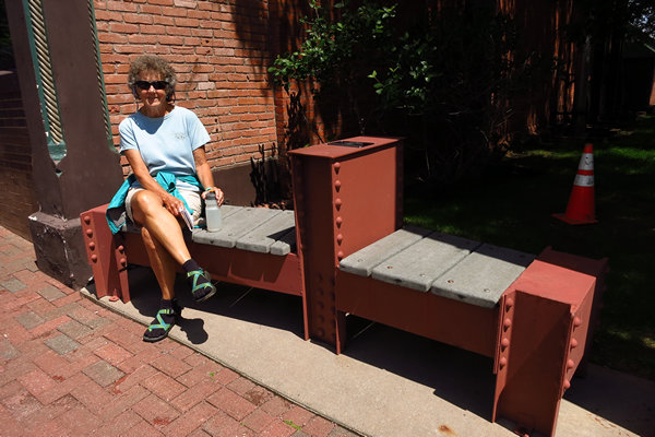
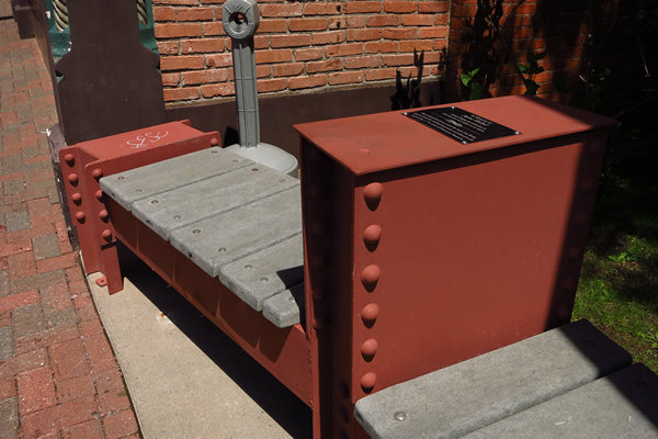
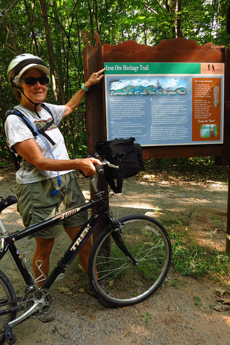
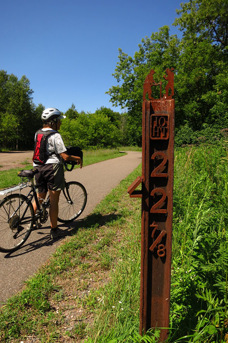
In keeping with the area's heritage of iron ore mining, the mile markers, signposts and interpretive sign frames are all made of steel. And made with an artistic touch I might add.
We started our ride at the parking area below Father Marquette Park. Soon we were winding our way through downtown and then were in the outskirts of Marquette in just a mile or so.
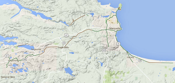
Here is the route for the Iron Ore Heritage Trail
Our ride from Marquette to Ishpeming would be about 26 miles round trip. But that tells only half the story. There is about 774 of elevation gain from Marquette to Ishpeming.
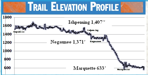
However, there are several "roller coaster" sections where elevation is lost and must be regained. This, combined with temps in the mid-80s made the ride feel much longer than 26 miles.
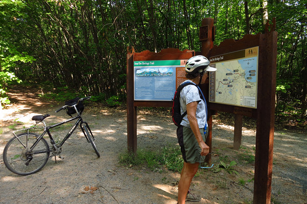
Our first stop to find out a bit about the trail and the area.
In keeping with the area's heritage of iron ore mining, the mile markers, signposts and interpretive sign frames are all made of steel. And made with an artistic touch I might add.
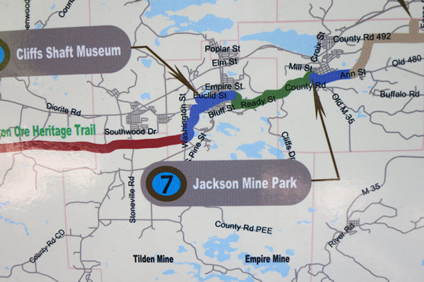
We both thought it was odd the maps showing the trail route did not have any of the towns labeled.
We be here!
The Iron Ore Heritage Trail will be a 48-mile, multi-use, year round trail that connects communities and people to the region’s historic sites and human stories. Through a multitude of interpretation methods, we can share the story of the Marquette Iron Range and our 160+ years of mining ore that changed the landscape of Marquette County and the United States.
If you are a walker, biker, runner, inline skater, nature enthusiast, equestrian, xc skier, snowmobiler, history buff or ATVer... this trail is for you! The trail is being designed for a multitude of users. Wherever possible and allowed, parallel but separate trails will be developed for motorized and non-motorized for the safety and enjoyment of both types of trail users.
Source: Iron Ore Heritage Trail © 2012
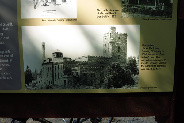
The sign shown above had a bit about this old brewery which was built in the late 1800s. It remained intact until 1975 when most of it was razed. What a loss.
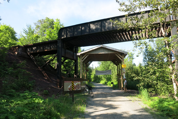
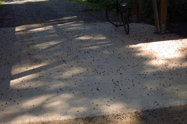
The protective covering under the rail road trestle keeps users from being beaned in the head by these.
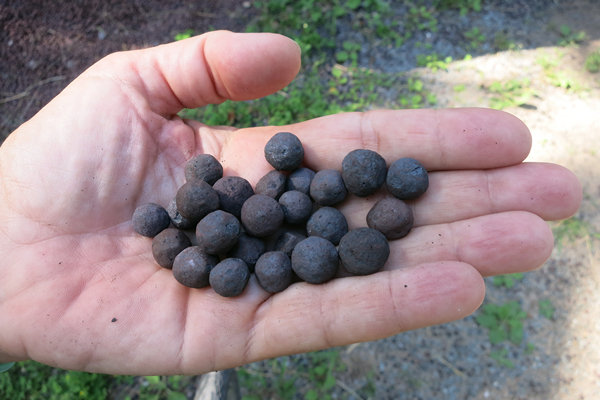
These are iron ore pellets.
Iron ore pellets are spheres of typically 6–16 mm (0.24–0.63 in) to be used as raw material for blast furnaces. They typically contain 67%-72% Fe and various additional material adjusting the chemical composition and the metallurgic properties of the pellets. Typically limestone, dolostone and olivine is added and Bentonite is used as binder.
The process of pelletizing combines mixing of the raw material, forming the pellet and a thermal treatment baking the soft raw pellet to hard spheres. The raw material is rolled into a ball, then fired in a kiln to sinter the particles into a hard sphere.
The configuration of iron ore pellets as packed spheres in the blast furnace allows air to flow between the pellets, decreasing the resistance to the air that flows up through the layers of material during the smelting. The configuration of iron ore powder in a blast furnace is more tightly-packed and restricts the air flow. This is the reason that iron ore is preferred in the form of pellets rather than in the form of finer particles.
Source: WikiPedia
A closer look at the iron ore pellets. I snagged a few pounds for a souvenir.
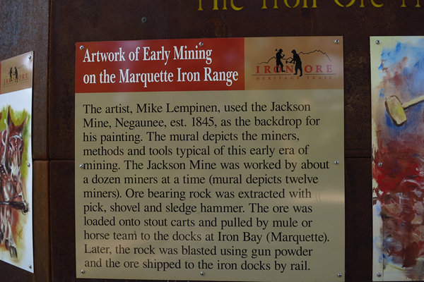
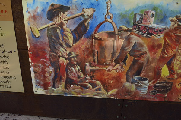
The mural under the trestle had all kinds of interesting historical tid-bits.
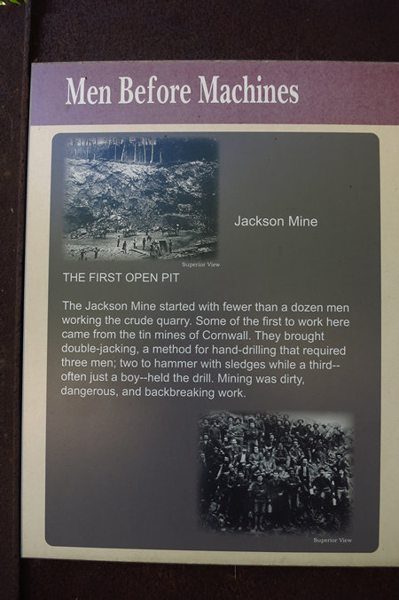
Drilling - using the "hammer and tap" method - and blasting were introduced to England in 1670, adopting either the "single jack" (one-man) or "double jack" methods for deeper holes.
Source: Copyright © InfoMine Inc.
How would you like to be the guy holding the drill bit? You can be sure there were broken hands, wrists and arms over the years this method of drilling was used.
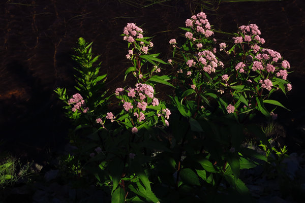
The obligatory wildflower shot. This is Joe Pye weed (Eutrochium purpureum ) a very common and very beautiful native plant. We have a clump growing in our yard in Wheeling which is about ten feet tall.
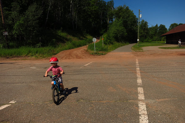
On the outskirts of Negaunee a mom was crossing the road with her young son. The little tyke was really going!
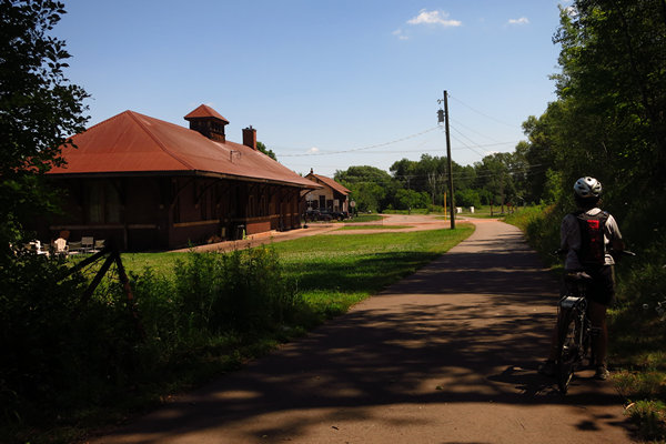
This is the 100 year old Negaunee Union Station Depot. It is now a rental property for overnight and special events.
A look back at the old Negaunee Union Station Depot.
The hand painted sign is just to the west of the Negaunee Union Station Depot.
Here is one of the artistically designed and crafted mile markers made from iron.
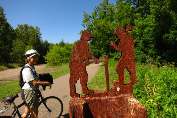
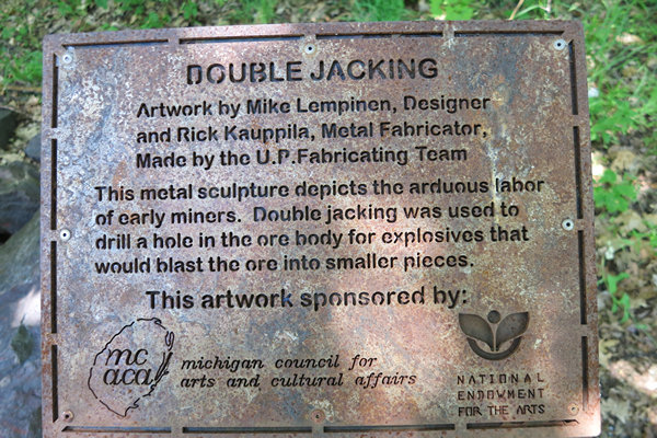
Atop each mile marker is a cut out depicting two men double jacking.
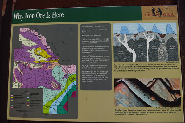
The nitty gritty. If you click on the photo above you can read the text about how iron deposits formed in the Marquette Iron Range.
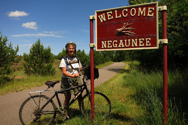
This sign is on the western outskirts of Neegaunee. Guess what it is made of - cast iron.
I was not quite sure what to make of this claim. Are they referring to "tree-trunk" hematite? Would someone enlighten me?
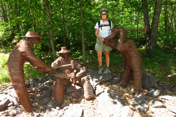
I guess you would call "double jacking" the iconic image of the iron ore industry.
Interesting way to make a sculpture - stacking slices of shaped iron to form the figures.
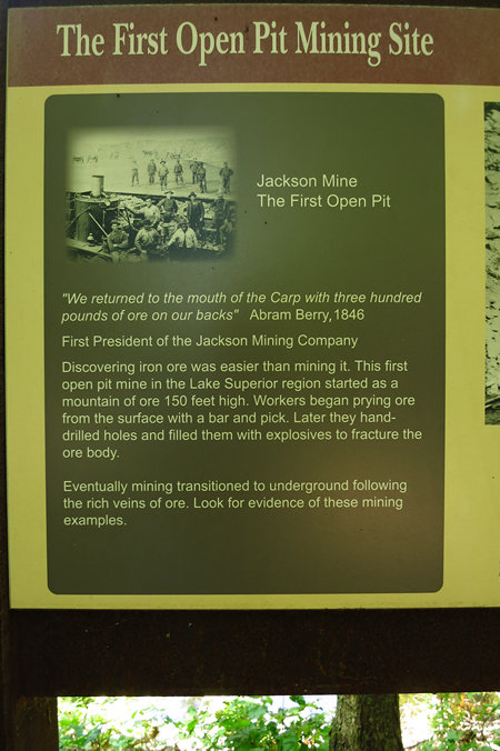
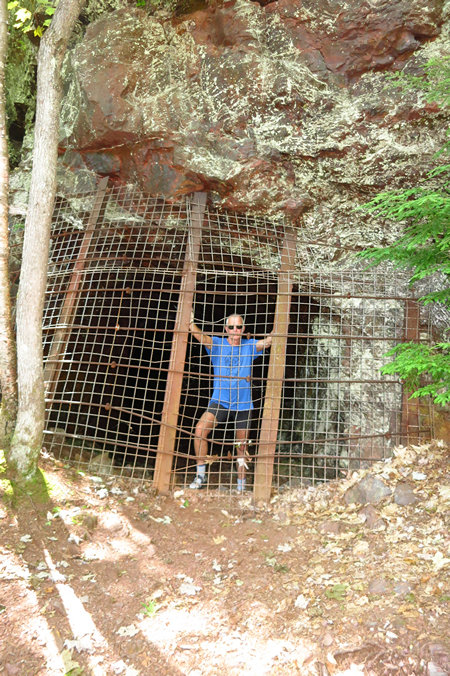
Near the above sculpture is a trail leading back to a small open pit mine and the opening to an underground mine.
The mine opening is pretty well secured but as can be expected someone had pried open one end so a person can slip through.
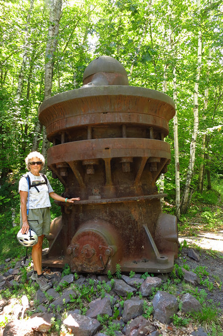
<This is an Allis - Chalmers fine reduction crusher.
If you want to find out more about this type of contraption I suggest you read "The History of Grinding" by By A. J. Lynch, Chester A. Rowland. Great bed time reading!
And that wraps up our tour of the Marquette iron country via the Iron Ore Heritage Trail. We enjoyed the ride, scenery and interpretation and now we would be heading back down to Marquette for a much needed cooling off at South Beach.
Next up: Munising, waterfalls and bears.
See you then,
~Mike and Betsy
Part VIII: Thursday/Friday 21/22 July 2016
Good-bye Marquette, Hello to Munising and the Pictured Rocks National Lakeshore
This mornng we would be departing Marquette and the Birchmont Hotel. When I booked our room for four nights I did so because of the location, it is right on Lake Superior and the Iron Ore Heritage Trail runs along the lake. And it is also close enough to downtown Marquette we could be there in a matter of minutes.
And the Birchmont Hotel is just minutes from South Beach and the South Trails Network. And the hillside behind the Birchmont is beautifully wooded.
The hotel itself is nice, although it is showing it's age. Nice sized rooms and a heated pool and a half decent continental breakfast. The room had a fridge and a tiny two burner stove (with one burner missing). The room also has a nice sized balcony overlooking Lake Superior.
But there was one big drawback which will prevent us from ever staying at the Birchmont again - road noise and constant non-stop high speed traffic. 24/7.
Because of this we found it impossible to even use the balcony or sit out front. The noise and volume of traffic put us both on edge and we found it impossible to relax there. Too bad. Oh, these First World Problems! To bad for us and too bad for the Birchmont as we will not be stay there again.
When we left Marquette on the morning of July 21st it was pouring down the rain just like when we arrived there on Sunday the 17th. But, as before there was gradual clearing and as we drove east to Munising we starting seeing peeks of blue sky. The drive was short and straight forward: South on US 41 to Harvey then SR28 east the remaining 33 miles or so to Munising.
This is very scenic drive for most of the way as the roadway hugs the shorline of Lake Superior. There are number of nice Roadside Rests (Michigan has the best!) along this route which are right on the Lake. We stopped at one of them and scoped it out for a potential Happy Hour Station location in the event we found nothing more suitable when in Munising. But we did indeed find a primo spot on the beach for our HHS while in Munising.
When we arrived in Munising we first ...?
Now that 6 days have past the details are a bit foggy as of this writing. In one sequence or another we went to Scotty's hotel and checked in and then decided to check out Munising Falls. We have been through Munising many times over the decades and had never visited this site. We found out it is a very popular place to visit in July. Especially since just about anyone can walk, shuffle or waddle the 800' to the falls viewing area.
At the falls there is also a National Park Service interpretive center which we stopped in breifly. While there I noticed they had a new edition of Eric Hansen's "Hiking Michigan's Upper Peninsula". The new edition now includes 50 hikes and and has been upgraded from black and white to color. Nice! It is a must have if you plan on any hiking in the UP.
While still in Marquette Betsy had Googled "Munising Beaches" and got a hit for "Sand Point". This is just a few miles from Munising Falls so we headed down that way to have a look.
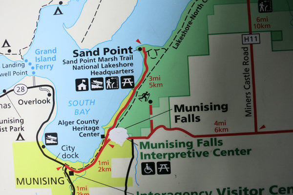
Here is a snippet from the Pictured Rocks National Lakeshore map showing the location of downtown Munising, Munising Falls and Sand Point Beach.
The main beach area had picnic tables so we decided to have a bite to eat while there. There were a few people there but it was certainly not what we would call "busy". Just beyond the beach area there is an old U.S. Coast Guard Station which is now a Park HQ. Then the road dead ends into a turn around with parking. We parked and found another nice beach which looked perfect for our Happy Hour Station.
We then drove back into Munising, parked on the street near a bookstore and coffee shop we always go to when in Munising. Previously that has been in May or June or September. This was July and we found the Falling Rock Cafe & Bookstore jammed with people half of which were kids. EEEEEEEEEEEK!!!!! On the upside there were some mighty fine MILFs along with the youngin's.
The inside of the Falling Rock Cafe was like and oven. No air conditioning. Why would you need air conditioning when you are that far north and sitting just a stone's through from Lake Superior? But, like elsewhere this summer in Munising it had been hot, hot, hot! This is most likely from all the hot air being produced by the presidential candidates.
Considering the crowded conditions and the heat we got out of there pretty quick and then headed back to Scotty's motel to finish unpacking the van and get ready for the Main Event - HAPPY HOUR!.
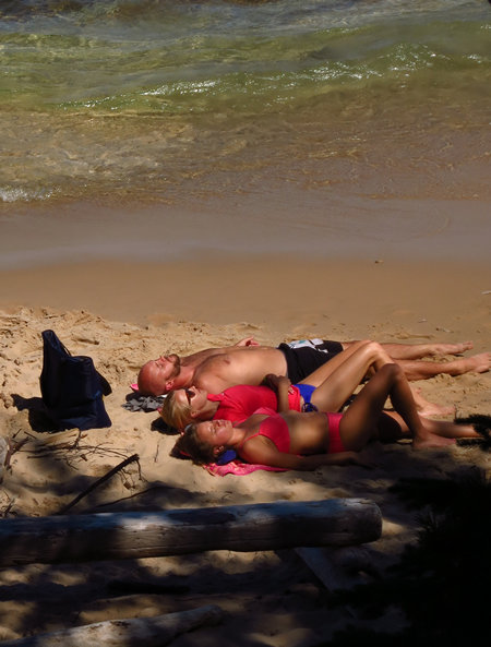
Here is Betsy getting happy at Happy Hour. Not a bad view, eh? Betsy's choice of Sand Beach turned out to be a winner and we even found a nice shady spot just big enough for the two of us.
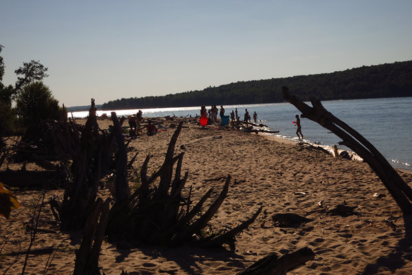
Although we had to share our beach the humans shown above they were fairly tolerable. Even the the dog owner managed to do the right thing and keep her "fur baby" leashed and under control.
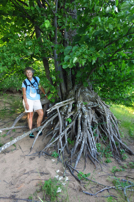
The weird looking things sticking out of the sand are remnents of old trees which washed ashore and then got buried in the sand with the roots still sticking out. There was also lots of drift wood and all the kids had a good time standing on floating logs and using the smaller peices to try to build structures and of course use them for playing fetch with fido.
After a leisurly Happy Hour of various beers, smoked fish and salads we headed back to the hotel to look at our maps and plan the following day's hike. We decided on this one:
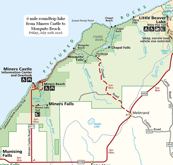
Origninally we had planned to hike the 9 mile Bruno's Run loop trail which we have hiked twice before. But after seeing the weather forcast for more hot and humid weather we decided a lakeshore hike would be much more pleasant.
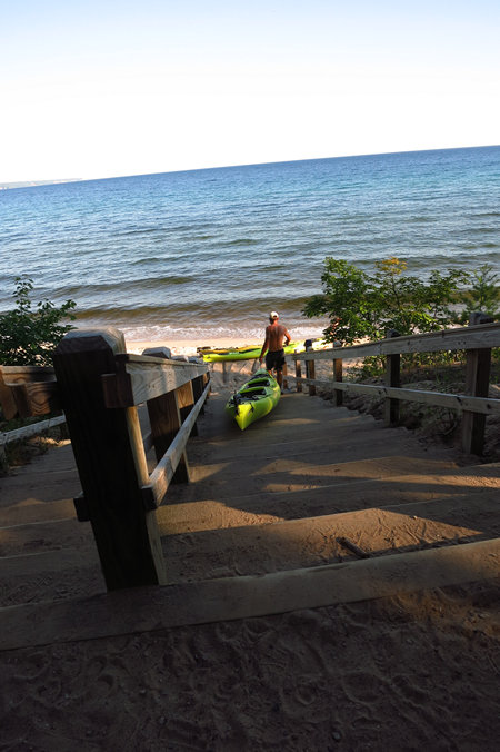
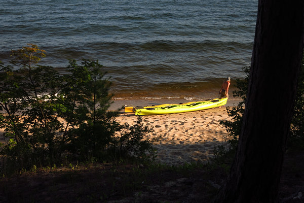
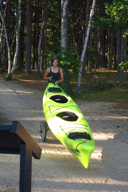
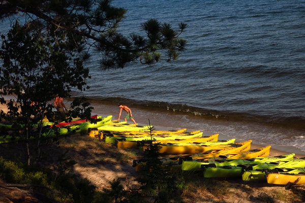
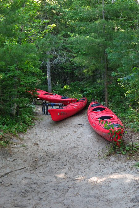
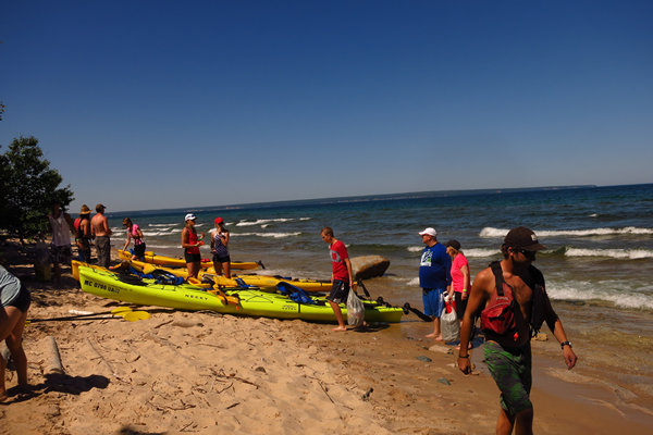
When we arrived at the Miners Castle parking area there were 3 trucks with trailers each holding about 15 tandem sea kayaks. When we got our of the van we saw a bunch of 20 somethings hustling to get all the boats unloaded, on wheels, pushed down to the beach access stairs and then down the steps to the beach to their waitig co-workerss.
Then they would put two boats in the water, get in between them and walk them down to where the staging are was. No small feat with the waves knocking them and the kayaks around.
Hustle, hustle, hustle!
I asked one of them how many they took out in a day. He replied "200, mostly in the morning". I guess Uncle Ducky Outdoors & Outfitters is doing a pretty brisk business!
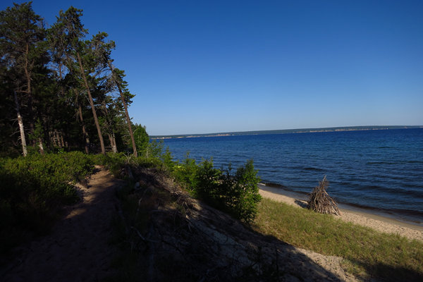
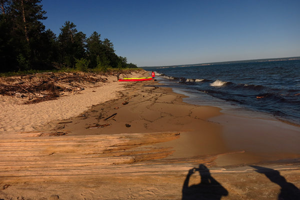
Finally, some empty beach! (But not for long). Note the driftwood structure. We saw several of these, some were quite large and elaborate.
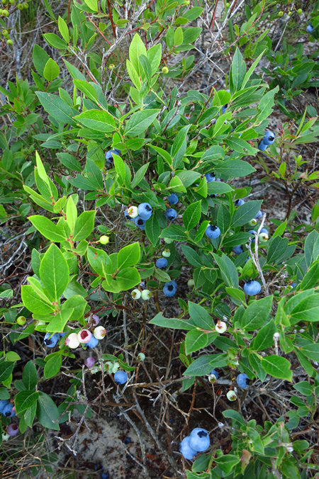
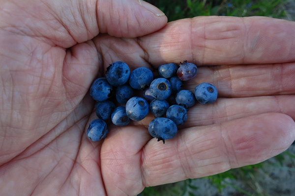
Bonus! There was a carpet of blueberry bushes along the trail and some had ripe berries.
Yummy...
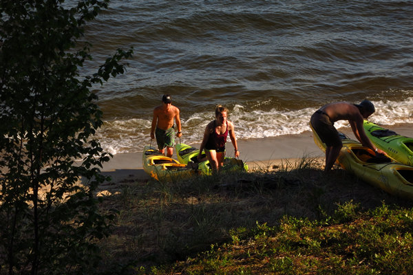
It wasn't long before we saw more kayaks appearing on the beach. This was another company which was using the access point at Miners Beach.
They seemed to have no problem with completely blocking the trail. Pesky 20 somethings!
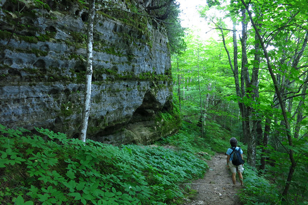
At Miners Beach the trail leaves the shoreline and climbs up to the bluff. This trail side rock outcrop was home to a nearly hidden treasure.
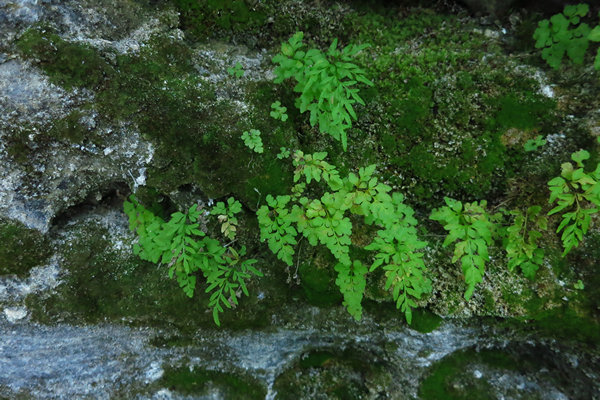
Meet the Fragile Rockbrake (Cryptogramma stelleri). There is a disjunct population of Cryptogramma stelleri in West Virginia. You can read about it here if you are so inclined.
Now up above the beach we were walking through a forest of Trembling Aspen, Sugar Maple and Beech.
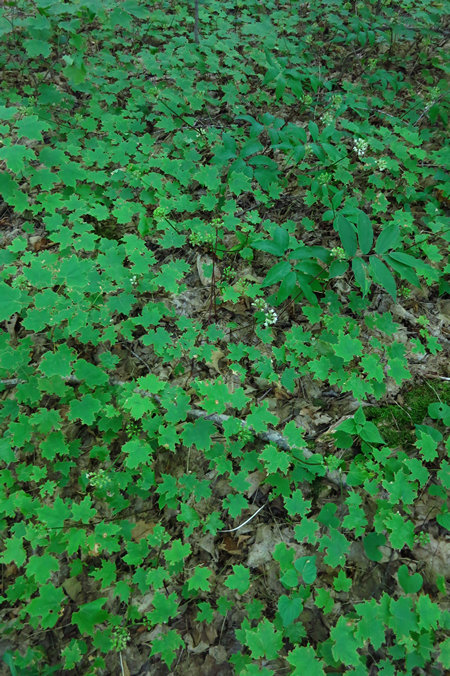
In some areas the forest floor was carpeted with Sugar Maple seedlings as far as the eye could see.
Here we have two ladies: Lady Elizabeth and Northern Lady Fern (Athyrium filix-femina).
Compared to what I am used to seeing in West Virginia ferns seem to reach gigantic proportions up here in the Great Lakes.
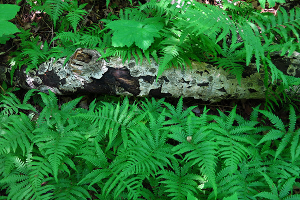
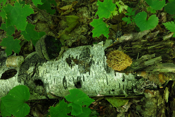
This old piece of Paper Birch has two fungi growing on it. On the left is a Birch polypore (Piptoporus betulinus?) which would have been there when the tree fell. The more recent fungi on the right continues the process of decomposition and is known as a Coral fungi.
The Paper Birch bark canoe is an icon of the Great North Woods and has been around for a while.
Unfortunately, no one knows who the brilliant Native American inventor was who finally hit upon the idea of using birch bark as the hull sheathing for a canoe. The design was probably derived from the kayaks of the Inuits of the far northern latitudes who fearlessly sailed their hide covered boats across hundreds of miles of open ocean.
Sometime before 1500 A.D., an enterprising Native American (or group of tribesmen) built a frame of split cedar or spruce and covered it with large sheets of bark carefully pealed from paper birch trees.
Eventually, the classic birch bark canoe was standardized by its greatest builders and users, the Chippewa, who called themselves Ojibwa. Chippewa canoes were built in a variety of sizes and were traded to the Ottawa, who established a great inland North American trade empire well before the Europeans arrived.
Source: historyonthefox
We found this funky old Linden tree (Tilia americana) when we followed one of the spur trails which went out to the edge of the bluff.
At some point, wind and rain and snow and ice will cause this old beauty to tumble into Lake Superior. And at some point it will end up on a beach and perhaps become half buried in sand and then maybe Betsy and I will be there enjoying our Happy Hour with it. Someday...
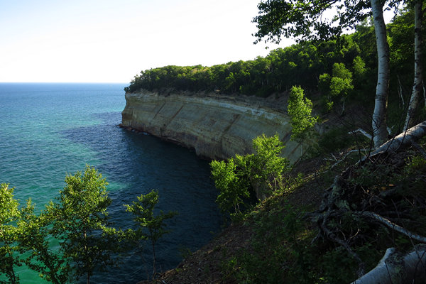
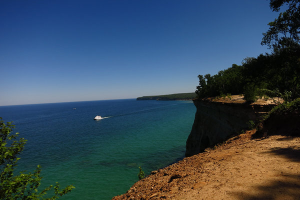
This is a view from the bluff's edge near the main trail.
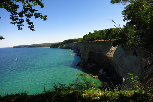
The geologic formations of Pictured Rocks National Lakeshore are most spectacularly represented by the 50-200 ft. sandstone cliffs that extend for more than 15 miles along the shoreline. Sea caves, arches, blowholes, turrets, stone spires, and other features have been sculpted from these cliffs over the centuries by unceasing waves and weather.
The name "Pictured Rocks" comes from the streaks of mineral stain that decorate the cliffs. Stunning colors occur when groundwater oozes out of cracks and trickles down the rock face. Iron (red and orange), copper (blue and green), manganese (brown and black), and limonite (white) are among the most common color-producing minerals.
Source: nps.gov
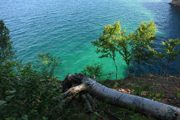
One of Betsy's fond memories is the beauty of the water, especially the various shades of blue/green.
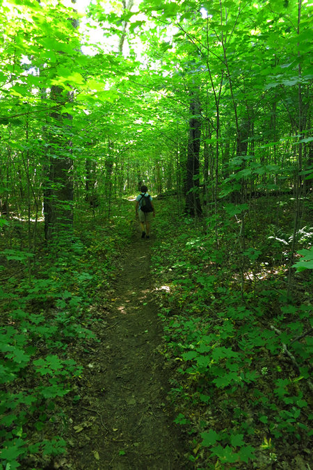
The lush greenery seemed to color the very air we breathed.
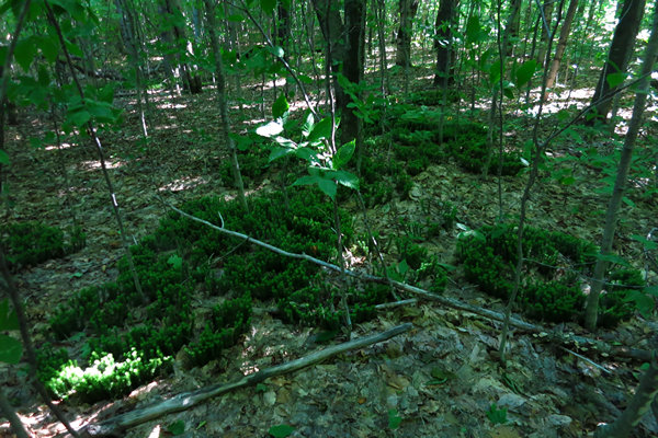
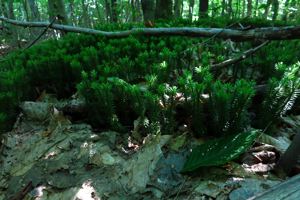
Deep, deep , deep in the shade we found this colony of Shining Clubmoss (Huperzia lucidula). In day's of old it was referred to as one of the "Fern Allies". Now, this is not "politically correct". So what shall we call my diminutive freinds now?
Although usually only 4-6" tall the Shining Clubmoss is certainly not hard to spot.
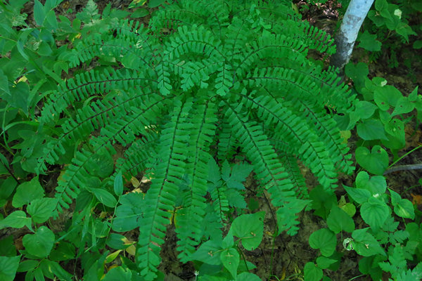
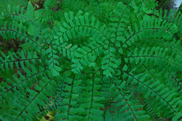
Another Lady! This time it is the Maidenhair Fern (Adiantum pedatum). She is Betsy's favorite. And how could she not be anyone's favorite? Delicate, gracefull, and never to be overlooked - that is the Maidenhair Fern.
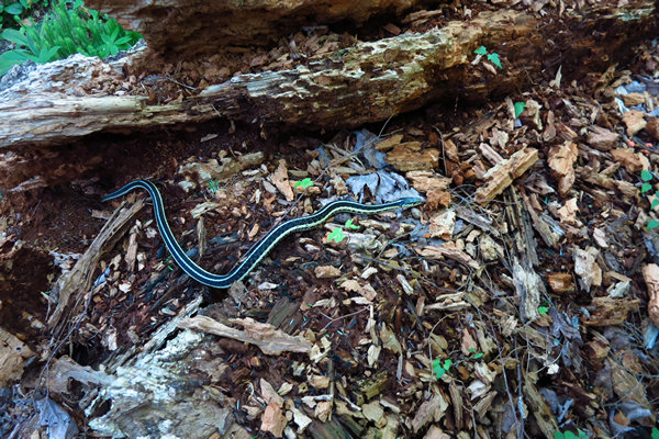
We were lucky to spot this Garter Snake (Thamnophis). They are common back home in West Virginia and it was nice to happen upon one.
Garter snakes, like all snakes, are carnivorous. Their diet consists of almost any creature they are capable of overpowering: slugs, earthworms, leeches, lizards, amphibians (including frog eggs), ants, crickets, minnows, and rodents.
When living near water, they will eat other aquatic animals. The ribbon snake (Thamnophis sauritus) in particular favors frogs (including tadpoles), readily eating them despite their strong chemical defenses. Food is swallowed whole. Garter snakes often adapt to eating whatever they can find, and whenever, because food can be scarce or abundant.
Although they feed mostly on live animals, they will sometimes eat eggs.Source: WikiPedia
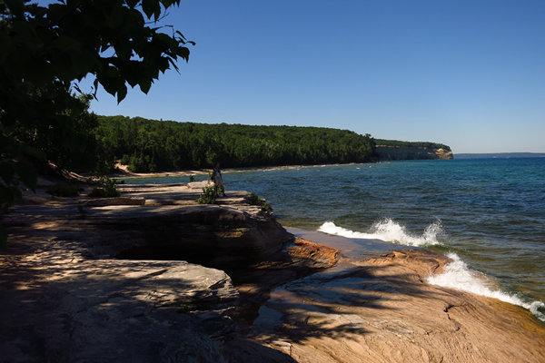
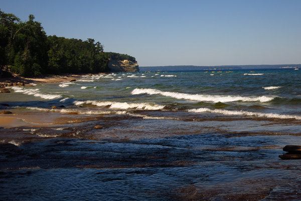
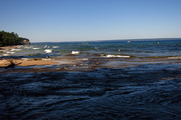
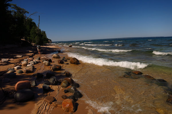
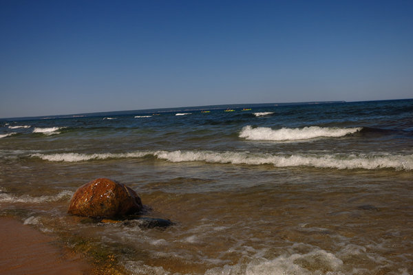
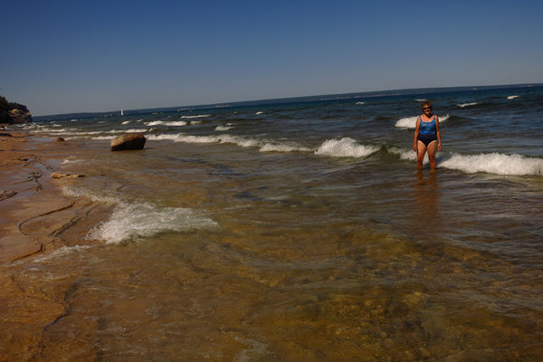
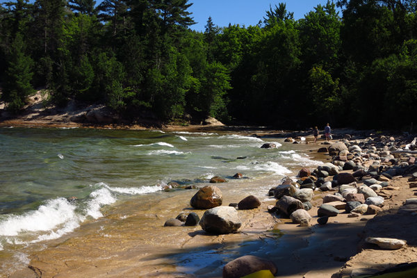
What goes up must come down and that is what happend when we reached our trails end at Mosquito Beach. The beach is now made of sandstone, not sand and the crashing of waves was both mesmerising and exciting.
Watch the beautiful wave action of Lake Superior at Mosquito Beach.
On our way to Mosquito Beach we crossed the Mosquito River on this bridge. I decided to walk the beach ledge and cross the river to get back to Mosquito Beach and meet Betsy there.
This was taken from the mouth of of the Mosquito River.
This also was taken from the mouth of of the Mosquito River.
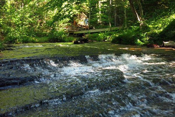
Watch the clear cool water of the Mosquito river joining Lake Superior.
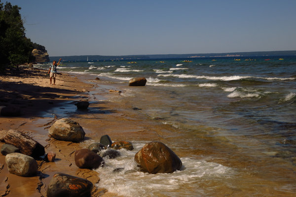
I have never been much of a beach person but the varied and wild beaches of the Great Lakes has made a convert. In one day we will see a fine sand beach, a sandstone ledge beach and a cobble and boulder beach like the one above. And it would be remiss of me if I did not say spending all that beach time with my lovely wife has now made me a true beach lover.
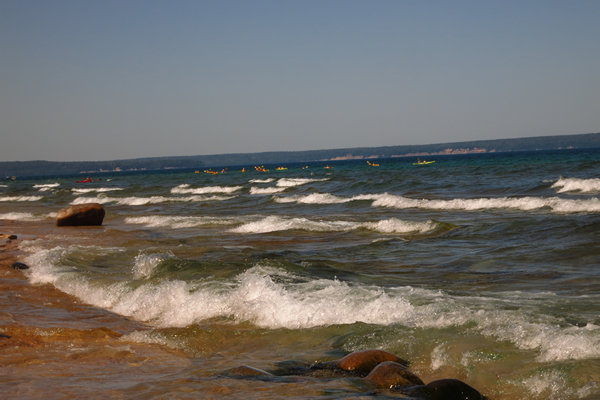
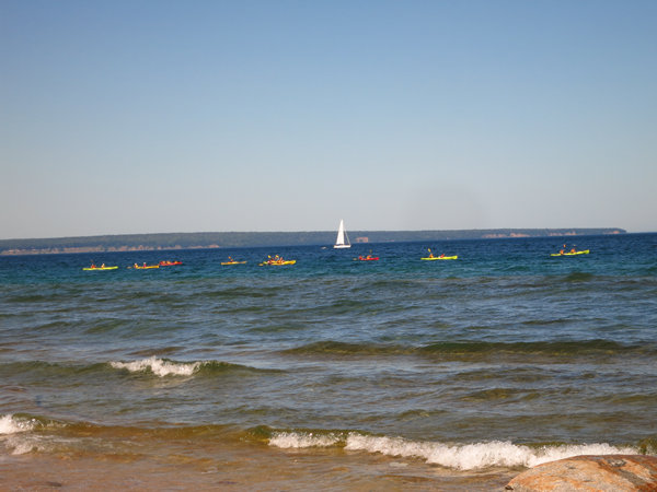
In the distance you can see some of the kayakers we saw earilier that morning.
Soon we will be sharing the beach with them.
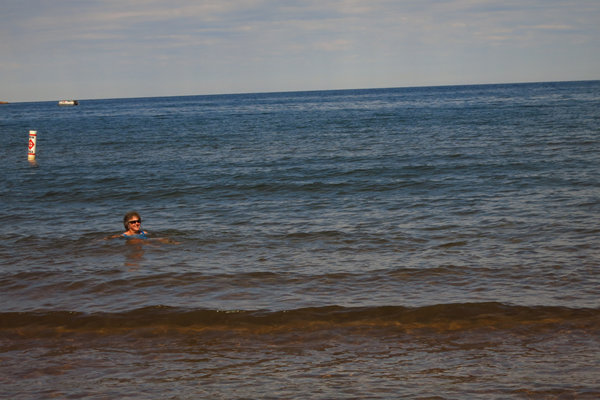
What an amazing spot. Time to take off the clothes!!
Here she is: "The Michigan Mermaid"!
Watch what the Mermaid does when the water is to rough to swim.
The Yakkers are getting closer...
And here they are - some of them. Time for a break and lunch and a bit of exploring on their own. I envy those who have not been here before. To see it all for the first time - wonderous!
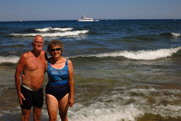
We ended up chatting with a pair of Yakkers from Philly and they kindly agreed to take a snap of Betsy and I.
This is looking back at the mouth of the Mosquito River which some of the Yakkers went out to explore.
On our way back I grabbed a few more shots of the Yakkers in various stages of relaxation.
July sure is busy up this way. All those Yak boats and also an endless procesion of these multi deck tour boats with their noisy engines and blaring loudspeakers.
A few more looks at the lovely shore of Lake Superior before we head back into the woods.
We have seldom seen Paper Birch larger than 12" in diameter, so when we do it is a photo op.
Here is a nice sized Sugar Maple (Acer saccharum). There don't seem to be many left of this size in these here parts. Boo-hoo...
The last 45 minuntes of the hike made us glad we had hiked along the shore line. Even in the woods close to the lake it was warm and muggy. Now our thoughts were turning to cool waters and cool beers.
And before long we were enjoying both at our Lake Superior Happy Hour Station at Sand Point. It would be our last one until... next year?
And here is the official end of our Michigan Road Trip together. Betsy, seen here at Sawyer International Airport just south of Marquette will soon be boarding a plane to Chicago and then on to Fort Wayne to visit her kin for a few days. Then it will be a Greyhound bus to Columbus and then on home to Wheeling.
And what of me? I will continue on to far western Minnesota to spend some time with my Tucson hiking buddy, Roger.
Then I will do an about face and wander my way back home.
That's all for now...


