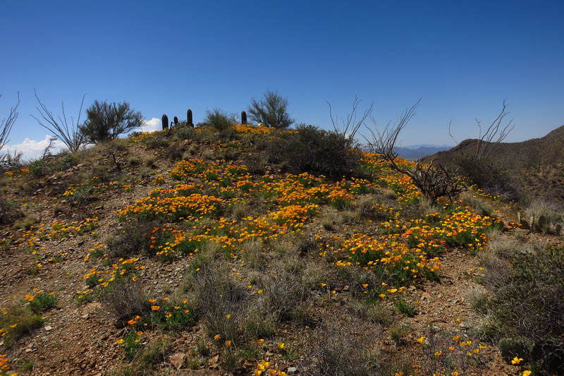
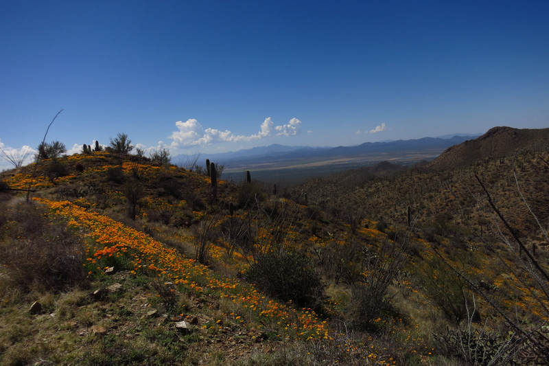
Mike Breiding's Epic Road Trips ~2019~
Sonoran Desert Wildflowers: Two Hikes
Sutherland Trail in the Catalina Mountains
King Canyon in the Tucson Mountains
March 2019 : Hiking Amongst the Sonoran Desert Wildflowers
This lovely Sonoran Spring morning started with a porch sitting temperature of 56 degrees, the gentle call of a mourning dove and the eerie singing of a pack of coyotes up in the foothills. Soon the cardinals were singing followed by the raspy voice of the cactus wren.
What a great way to start the day.
On top of this we are experiencing a fabulous bloom season as you will see. In fact this wildflower season has been so spectacular an event folks back in West Virginia have been hearing about it in the news.
Because we leave Tucson before the main season of bloom we have only been teased by a few blooms here and there. And then - we are gone.
But this year the bloom has come early and we have been seeing what many Tucsonians see every year. Sort of. According to those in the know the bloom is so spectacular this Spring because of good rains during the summer monsoon which continued in the fall season. After a bit of dry weather then the winter rains came along with both mountain and valley snows.
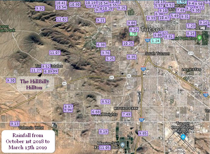
The winter rains were well above average and I heard it mentioned we got twice the normal winter rain fall amount. I believe it! The average annual rainfall for Tucson is 10-12". This season, between October and this March we have had from 6 to 11 inches in just that five and a half month period. From mid February to mid March we had about 1.5", some in the form of snow. That rain pushed the bloom cycle to the tipping point and in no time there was a floral explosion.
The image above is a screen shot from RainLog.org
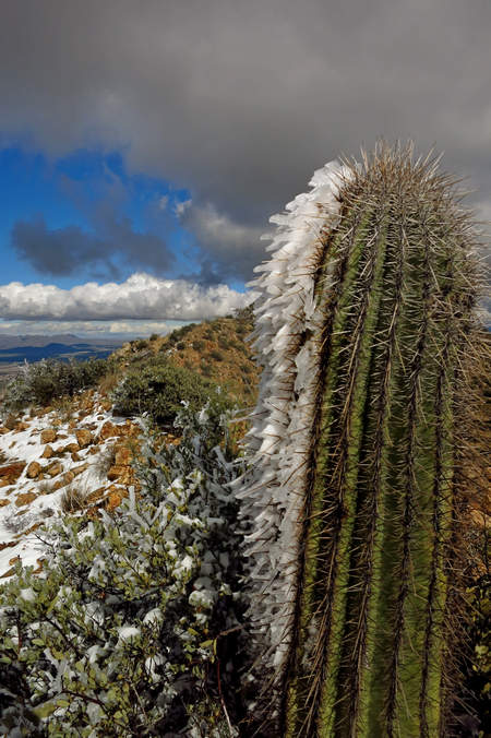
I mentioned above some of that precipitation came in the form of snow. It is not uncommon for the surrounding mountain ranges to get snow when down in the valley and in the uplands we get rain. But it is a rare event to get snow that sticks in the Tucson basin or in the relatively low Tucson mountain range. But we got snow down low this winter - twice. Once on New Years day just like back in 2015 and then again on February 22. That later snow storm covered the roadways and everywhere else. Quite the sight to see.
On New Years Day Betsy and I led a group up to Wasson Peak (el 4686')here in the Tucson Mountains. It was in the 40s, windy and overcast but we had 13 eager and excited hikers and we had a blast.
The snow was light down low but as we climbed we encountered more and more. The peak had been snow covered earlier in the day but by the time we got up there most of it was gone, melting in the late afternoon sun.
The route back down the trail snakes along the north side of Wasson and Amole peaks. It was obvious from the snow and ice encrusted vegetation which direction the snow had been blowing in from.
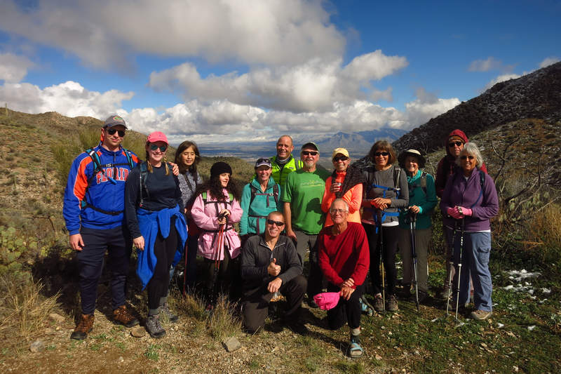
The Happy Hikers atop Wasson Peak.
In the background is the Tucson Basin and the Santa Catalina Mountains.
Because of the abundant winter rain, by early March we started seeing color everywhere but we were not without some color the entire fall and winter. In October when we arrived there was Brittlebush in bloom(Encelia farinosa) everywhere. And it has been in continuous bloom for the past 6 months. Amazing.

On the right is a nice specimen of brittlebush growing out of a crack in the rock at the base of Little Cat Mountain. We can step out our front door and be at this spot in under 20 minutes. It is near the Sarasota trail which connects to 50 miles + more trails in the Starr Valley area of Tucson Mountain Park.
As I was deciding where to stand to take the above shot, the wonderful call of the Canyon Wren fell down from the cliff face and landed gently upon my ears.
Click the play arrow to hear the Canyon Wren's
descending musical cascade of liquid notes.
OK. Let's get back to the point of this post - Sonoran Desert Wildflowers! Two of the local places which are famous for wildflower displays are the Sutherland Trail in the Catalina Mountains and King Canyon in the Tucson Mountains.
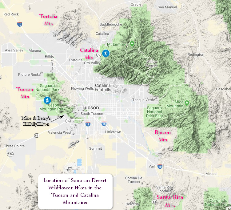
Here is a map to get you oriented. The two hiking icons mark the location of the two wildflower hikes Betsy and I led for the Tucson Hiking MeetUp Group.
On the Right is the Sutherland Trail in Catalina State Park in the Catalina Mountains and on the left is the King Canyon Trail in the Tucson Mountains.
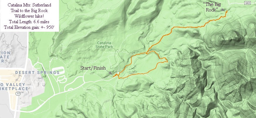
Here is a closer look at the Sutherland Trail.
This is a fairly flat, out and back hike, beginning off the Canyon Loop Trail in Catalina State Park (fee). It is an easy hike with only a little climbing and mainly follows the course of the Sutherland Wash. From parking, you'll look for the Sutherland/Canyon Loop sign (face the road from Parking and go to the left). About 15 minutes up the trail is the Sutherland Trail intersection.
The Canyon Loop stays right following the creek bottom. Sutherland Trail immediately climbs to a plateau and levels off. Hiking along this flat area you will notice a small ridge in front and to the right, in the distance. The trail takes you to the ridge, then makes a gradual climb along its North side. There are some interesting large rock formations that bring to mind an ambush in the old west.
Not far beyond is a wire gate and fence, marking the forest boundary. Always properly close these gates! The trail now crosses a wash, with pools and large rock expanses, perfect for a picnic stop and the most common turn around on this trail. It's only 5 minutes to the intersection with the 50 year trail and a rocky road that leads toward Mt. Lemmon.
For the MeetUp hike title it is called: "Catalina Mts: Sutherland Trail to the Big Rock" because the end point is a big rock with a huge boulder and nice water pools. A great place to take a break before the return back to the trail head. The hike is 6.6 miles in lenth with about 1000' feet of elevation gain. Pretty mellow.
Want more info? Check out A Guide to the Geology of Catalina State Park (8 meg download)
Click on the photos below for a larger image.
The Sutherland trail wildflower route has 3 water crossings. It was interesting to watch the lengths some people would go to keep from getting the foot gear wet.
The time it takes for a group to cross without getting their feet wet can be a pain in the ass. That is why I usually don't lead hikes with water crossings.
Here we have Small Pretty Flowers. That is all I know about them.
I should mention: I have been having focus problems with my camera so many of the shots I took ended up quite disappointing.
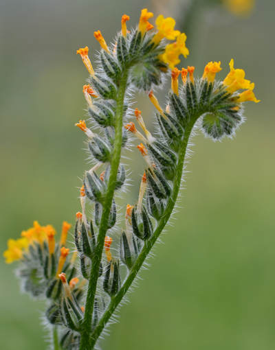
This is Fiddleneck (Amsinckia menziesii) and it is one of the most common wildflowers in the area.
Amsinckia menziesii var. intermedia (common fiddleneck, or intermediate fiddleneck) is one of the common fiddlenecks of western North America, distributed from Alaska and Canada through the Western United States to Mexico.
Like other members of the genus, it has a terminal flowering whorl somewhat shaped like the head of a violin or fiddle, hence the name fiddleneck. The flowers are yellow-orange, orange, or dark yellow.Source: WikiPedia
This beautiful shot is from The Ojai Valley Land Conservancy web site (© 2019 OVLC).
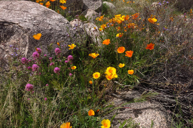
This is Purple Owl's Clover (Castilleja exserta). This plant was only found here and there on our hike and was not abundant. I was unable to find any information about the unusual common name.
(Castilleja exserta) (formerly (Orthocarpus purpurascens)) is a species of plant in the genus which includes the Indian paintbrushes. Its common names include purple owl's clover, escobita, and exserted Indian paintbrush.
This is a crucial host plant for the Bay checkerspot butterfly (Euphydryas editha bayensis), which is a threatened species that is endemic to the San Francisco Bay region in California.
Castilleja exserta is an annual herb about 100–450 millimetres (4–18 in) tall with a hairy stem covered in thready leaves. Like other related Castilleja plants, this is a hemiparasite which derives some of its nutrients directly from the roots of other plants by injecting them with haustoria. This is the reason for its small, reduced leaves.
Although this species is variable in appearance and easily hybridizes with other Castilleja species, it generally bears a brightly colored inflorescence of shaggy pink-purple or lavender flowers. The thin, erect bracts are usually tipped with the same color, giving the inflorescence the appearance of a paintbrush.
Source: WikiPedia
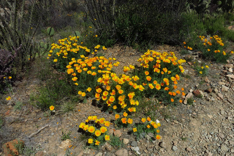
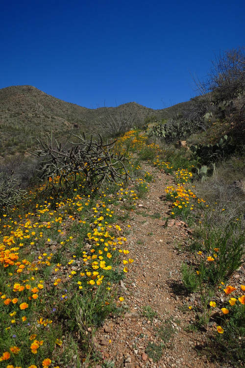
Poppies! And more and more and more poppies.
This is what brings thousands upon thousands of people out onto the trail many of whom would not be there if it weren't for these beauties.
Most "poppy watchers" will tell you there are two species which occur in the Sonoran Desert of the United states - the California poppy (Eschscholzia californica) and the Mexican poppy (Eschscholzia californica ssp. mexicana) however it is now thought they may be one and the same species. The Lady Bird Johnson Wildflower Center web page entry for "Mexican poppy" has this to say.
The Spanish name, Amopalo del Campo, means “poppy of the countryside.” This is appropriate, for when there are ample winter rains in the desert, this poppy grows in profusion, covering gravelly outwash fans and arid flats with a golden carpet. Once considered a separate species, Mexican Gold Poppy is now recognized as a desert-inhabiting subspecies of California Poppy (E. californica).
The two subspecies are exceedingly similar, one consistent difference being that the first leaves on seedlings of Mexican Gold Poppy are linear and undivided, whereas on seedlings of California Poppy they are divided in a Y-shape (a difference learned by careful greenhouse study).The genus is named after Dr. J.F. Eschscholtz who lived from 1793 to 1831. He performed duties as a surgeon and naturalist with Russian expeditions to the Pacific coast from 1815 to 1818.
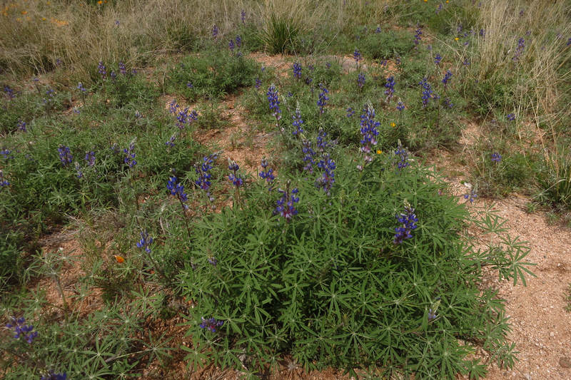
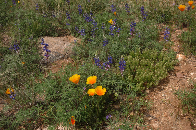
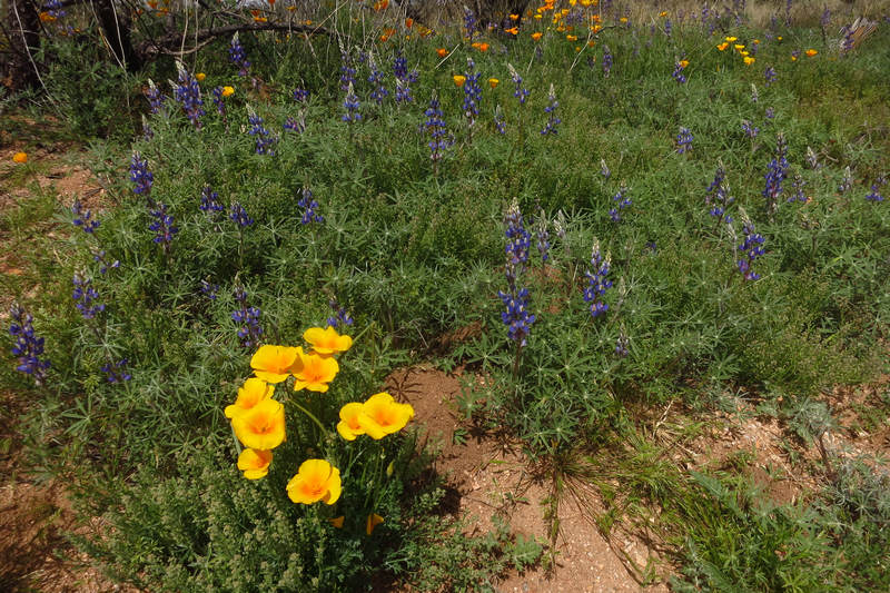
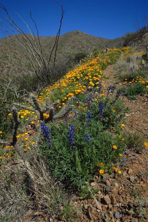
Here we have Coulter's lupines (Lupinus sparsiflorus) and poppies growing together. Over the past several weeks we have seen millions of poppies and thousands of lupines.
Lupinus, commonly known as lupin or lupine,is a genus of flowering plants in the legume family, Fabaceae. The genus includes over 200 species, with centers of diversity in North and South America. Smaller centers occur in North Africa and the Mediterranean.They are widely cultivated, both as a food source and as ornamental plants.
The legume seeds of lupins, commonly called lupin beans, were popular with the Romans, who cultivated the plants throughout the Roman Empire; hence, common names like lupini in Romance languages.
Seeds of various species of lupins have been used as a food for over 3000 years around the Mediterranean and for as long as 6000 years in the Andes.[ Lupins were also used by many Native American peoples such as the Yavapai in North America.Source: WikiPedia
This is Spreading Fleabane (Erigeron divergens) and it was the only specimen I can recall seeing on this hike.
Erigeron divergensis a species of flowering plant in the daisy family known by the common name spreading fleabane. It is native to western North America, including the western half of the United States, British Columbia and Alberta in Canada, and Baja California, Chihuahua, Durango, Nuevo León, and Sonora in Mexico.This plant is highly variable in form.
This plant had a number of uses in Native American traditional medicine. The Navajo people used it as an aid in childbirth, as a lotion, an eyewash, and a treatment for snakebite and headache. It was a good luck charm among the Kiowa people.
This plant occurs in many types of habitat, including desert shrublands and scrubs, grassland, meadows, pinyon-juniper woodland, oak and pine woodlands, riparian habitat, sagebrush, and disturbed areas.
The species exhibits agamospermy, asexual reproduction via seeds. Many, but not all, individuals are polyploid.
Source: WikiPedia
Almost the entire wash was covered with a carpet of poppies.
Beauteous!
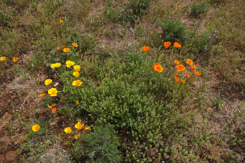
Here we see poppies and lupine. Note the darker color of the single poppy flower on the left.
Here are the lovely lupines in full bloom. Just an hour south in the Santa Rita Mountains they are barely emerging.
Here we clearly see the color variation in these poppies.
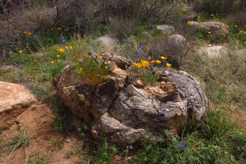
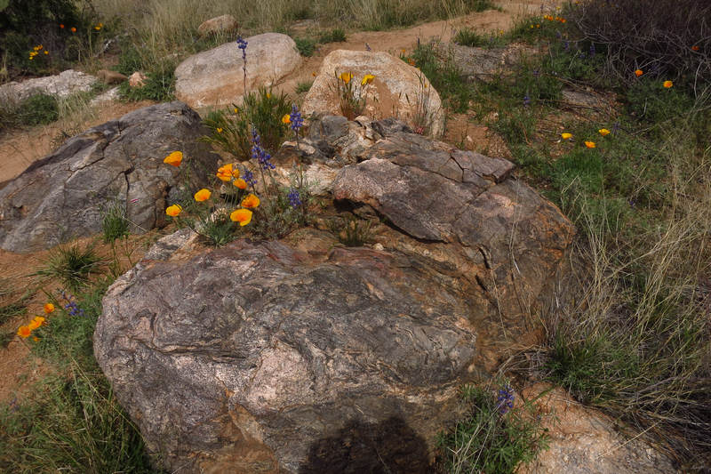
What a beautiful little rock garden.
Click on this image for a better look
It was hard to keep my finger off the shutter button.
Here we see Purple Owl's Clover and poppies.
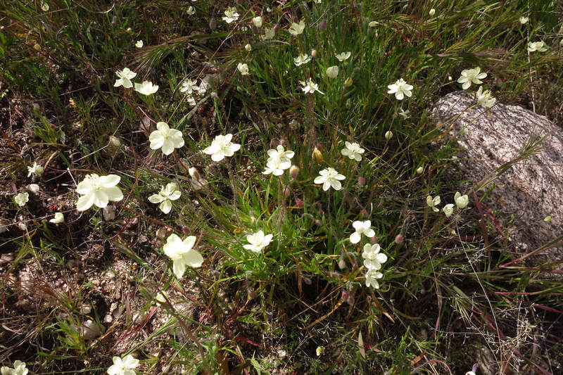
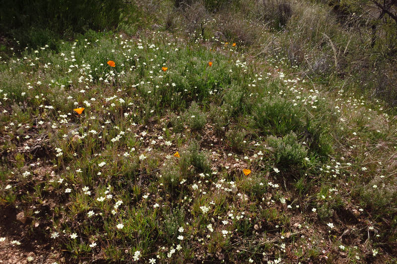
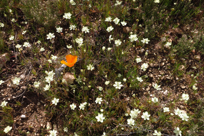
This is Creamcups (Platystemon californicus) Creamcups often grows in moist, sandy ground at the edges of desert washes.
From my limited experience with spring flowers in the Sonoran desert I have found plants with white flowers to be uncommon
Platystemon is a monotypic genus of flowering plants in the poppy family containing the single species Platystemon californicus, which is known by the common name creamcups. It is native to Oregon, California, Arizona, Utah and Baja California, and is found in open grasslands and sandy soils below 6,000 feet (1,800 m) elevation.
Platystemon californicus is a variable plant taking such a wide range of forms it has been split, reorganized, and redescribed as up to 57 different species. Its form often varies according to geography and habitat conditions. Coastal forms may be hairless and a bit succulent, while semidesert individuals can be squat, hairy plants. Some authors describe separate varieties, which are ecotypes adapted to specific, often very limited, habitat types.
Source: WikiPedia
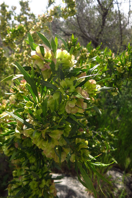
This is Florida Hopbush (Dodonaea viscosa). When mature the flowers are a pink tinged creamy white.
Dodonaea viscosa is a species of flowering plant in the soapberry family, Sapindaceae, that has a cosmopolitan distribution in tropical, subtropical and warm temperate regions of Africa, the Americas, southern Asia and Australasia.
The wood is extremely tough and durable. In New Zealand, where it is the heaviest of any native wood, the Maori have traditionally used it for making weapons, carved walking staves, axe-handles, and weights on drill shafts.
The flowers may be only male or female ones, and one plant bears either male or female flowers. However, sometimes they are observed to bear flowers of both sexes. The pollen is transported by anemophily 9wind pollination). It is believed that D. viscosa flowers lack petals during evolution to increase exposure to the wind.
Source: WikiPedia
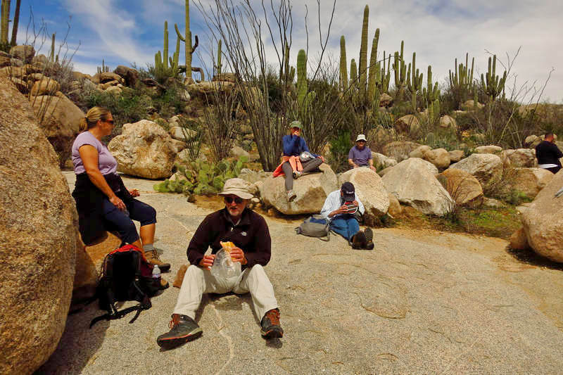
Here we are at "The Big Rock" enjoying the sunshine and the lovely sound of running water.
As is usually the case, on the way back we saw plants and views we missed on the way out. This requires more snapping of the shutter.
My first guess for this squat, chubby cactus would be one of the Hedgehog cacti species (Echinocereus). But it doesn't look quite right.
Poppies, poppies and more poppies.
And that is the last shot on our hike along the Sutherland wash. Now, let's head on over to King Canyon in the Tucson mountains to see, yes, you guessed - more poppies!
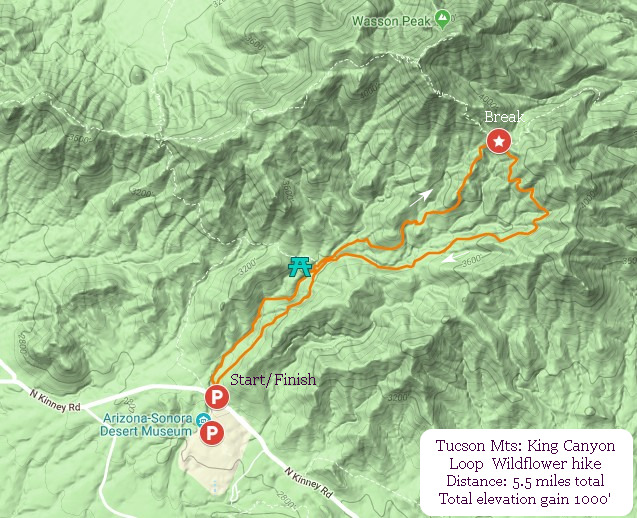
This hike begins with a leisurely ramble up a wash with low cliffs for 1 mile. We have fun with groups who need to skirt or climb small ledges. This is challenging for some and fun for others. On the way up the wash we stop and look at the ancient Hohokam petroglyphs which were etched into rocks between A.D. 300 and 1450 as well as bedrock morteros.
At mile one we then detour up a slight rise past the old and now closed stone rest rooms, walk through the Cholla Gate and check out the Mam-A-Gah; the old Civilian Conservation Corp picnic area which has a ramada made from local stone and Saguaro skeletons. It was built in the 1930s and displays classic CCC workmanship.
From the picnic area it is a steady uphill hike up to the saddle where it intersects with the Sweetwater trail
At the saddle we rest and snack, take in the views and then return via an old road bed which skirts the opposite side of the canyon. The road ends in the wash near the Mam-A-Gah picnic area. After walking the wash for a short distance we then pick up the old road again which ends at the Trail Head parking area.
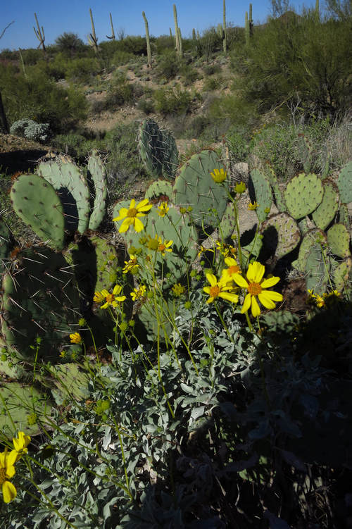
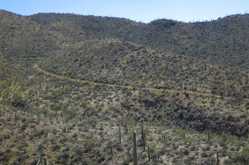
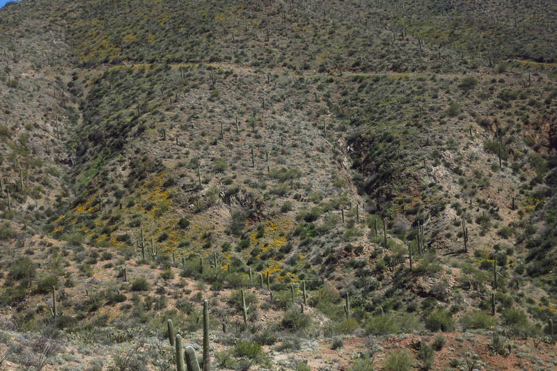
Meet the Brittlebush (Encelia farinosa). The abundant winter rains resulted in this shrub being in continuous bloom since we arrived in Tucson this past October. And now, in March it is re blooming in full force. The one pictured above is not quite there yet but was in full glorious bloom two weeks later. Now entire hillsides are washed yellow.

The above photo was taken about two weeks after the King Canyon wildflower hike. This is directly behind our trailer and accessible by about a 40 minute hike up a rather steep, rocky trail.
I planted several Brittlebush in our Tucson Estates "yard" and they have done very well. And this Spring I found five volunteer seedlings. Yippee!
Encelia farinosa (commonly known as brittlebush or brittlebrush), is a common desert shrub of northern Mexico (Baja California, Baja California Sur, Sonora, Sinaloa, and Hidalgo) and the southwestern United States (California, Arizona, Utah, and Nevada).
The common name "brittlebush" comes from the brittleness of its stems. Other names include hierba del vaso (Spanish) and cotx (Seri). Another Spanish name for it is incienso because the dried sap was burned by early Spanish missions in the New World as incense.
Source: WikiPedia
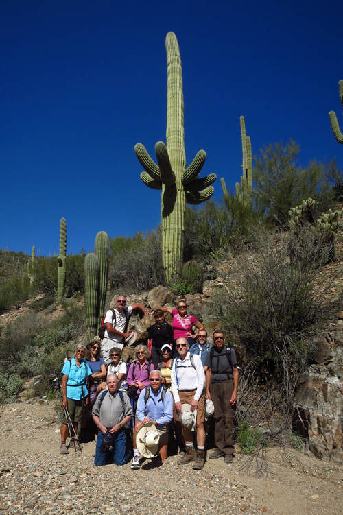
The obligatory group photo.
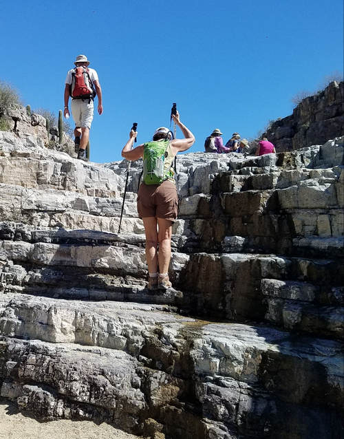
Here is one of the several ledges which we climb, step up, scramble or skirt while making our way up the canyon.
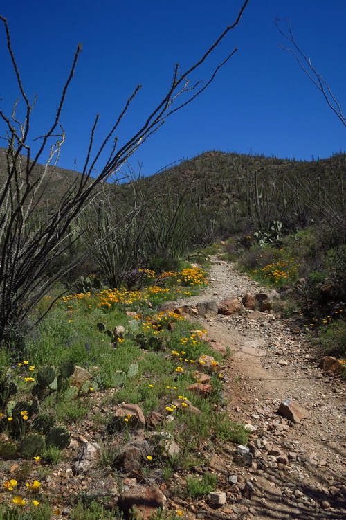
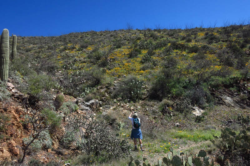
As we gain elevation we see more and more poppies.
Wow!
Lupines were scattered all along the trail.
The over arching stems are Ocotillo (Fouquieria splendens). For this hike there were only a few of these interesting plant starting to flower and push leaves. Now, two weeks later there are many which are covered with leaves and in full bloom.
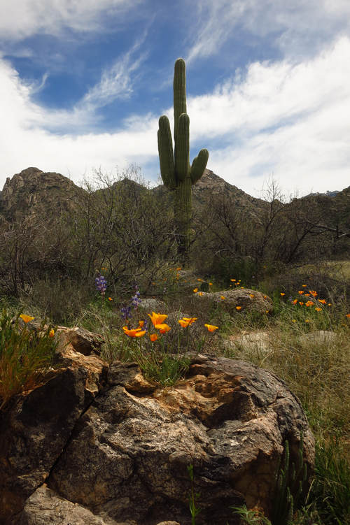
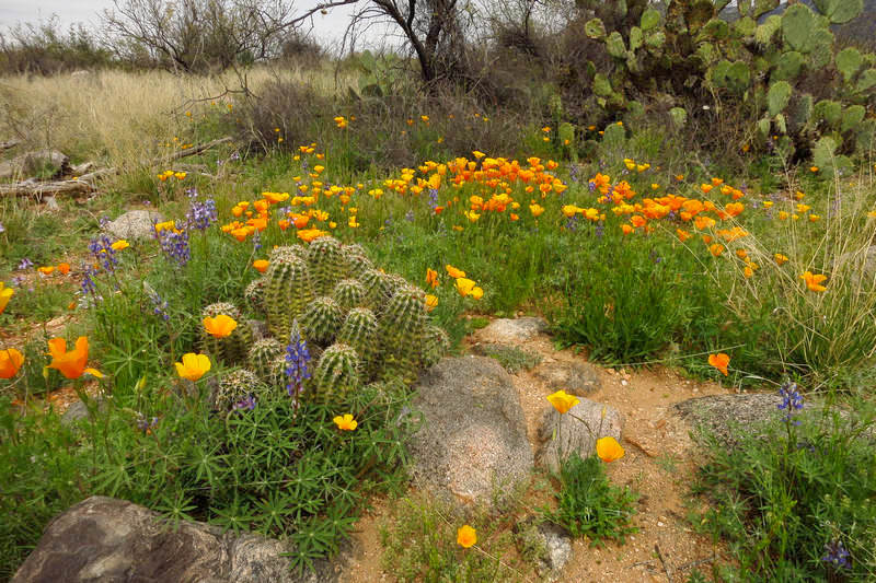
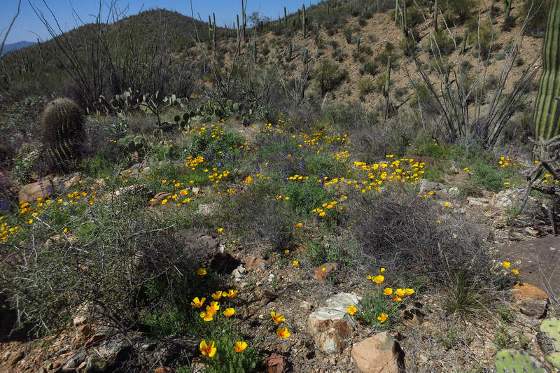
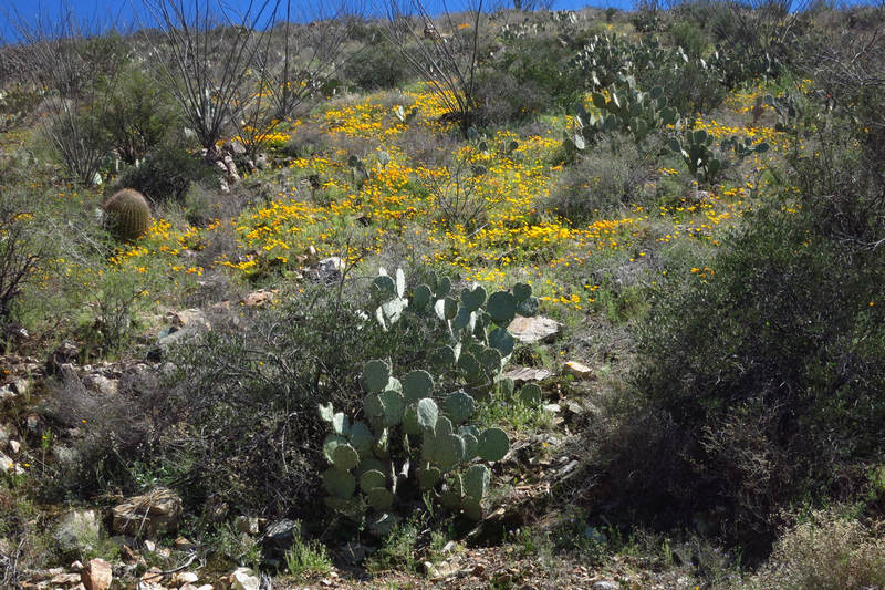
Poppies, lupine, ocotillo, barrel cactus and prickly pear cactus.
The vibrant colors of the poppies against the grey, rocky soil is quite a contrast.
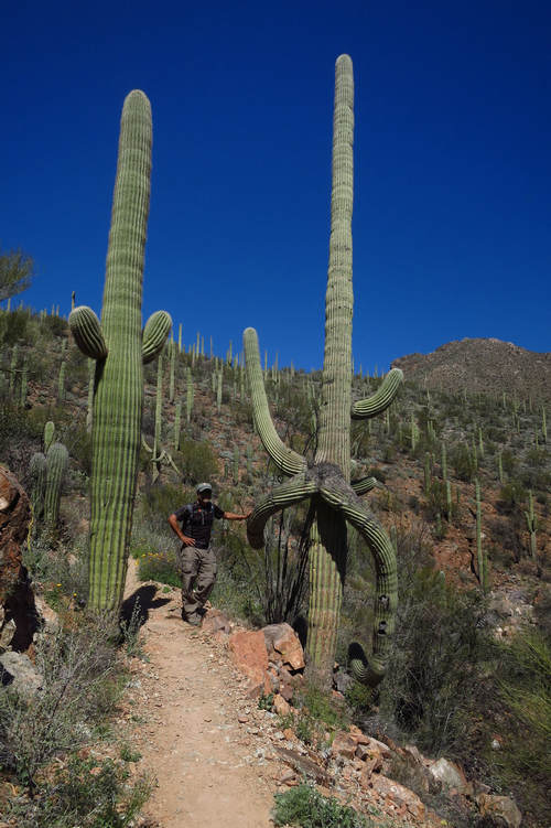
Every time we lead this hike we stop for a photo op at this unusual looking Saguaro Cereus giganteus. The Saguaro is the Arizona state flower.
Why do some Saguaro arms hang downward? Like so many questions about Saguaros no one seems to have a definitive answer.
"The saguaro is the most studied plant we know the least about."
The saguaro cactus is one of the dominant forms in the Sonoran Desert. While a young saguaro takes nearly a decade to reach one inch tall, over many decades it can reach heights of fifty feet, making it the largest cactus in the United States. The saguaro is a single-stemmed, columnar cactus supported by woody ribs.
The skin of the cactus is light green and waxy. Spines are clustered down the length of the ridges. At seventy-five years old, the cactus begins to sprout arms that grow parallel to the body.
As many as fifty arms can be found on older saguaros with ages estimated to be 200 years old. A cactus that large can weigh over eight tons.
The saguaro grows in the Sonoran desert, which covers extreme southeastern California, southern Arizona, and adjacent northwestern Mexico.Source: http://www.pima.gov
A very poor shot of one of the most common wild flowers of the Sonoran Desert - Scorpion weedPhacelia distans. Also know as Wild Heliotrope.
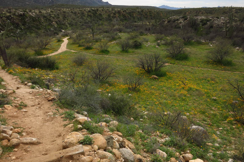
Once we entered the realm of the poppy they kept us company for the rest of the hike up to the saddle and then as we will see, most of the way back down.
Here is more scorpion weed and the lovely Apricot Mallow (Sphaeralcea ambigua). We see this plant, sometimes en masse, just about everywhere we hike in the Tucson Mountains. It is often seen growing next to the road where it takes advantage of the water run off from the road way. Brittlebush as well takes avantage of this bonus water supply and can sometimes form what looks like a yellow ribbon along the side of the road. I have seen this extend for miles along local Interstate 10 north of Tucson.
Poppies also take advantage of water run off from roadways. Shown here is the old mining roadway which will be our way back.
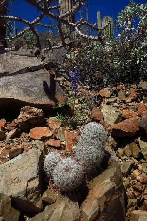
Here is a little cactus in the genus Mammillaria also known as pincushion cactus and nipple cactus. They are common in this area but sometimes hard to spot as they often grow under or near trees and shrubs to take advantage of the shade. They can often be seen growing out of cliff cracks which face north.
In the background are Lupine,Staghorn Cholla, Saguaro and Brittlebush.
Even after duplicate names are sorted out, the genus Mammillaria is the largest of several genera of diminutive cacti with about 175 species worldwide. The Sonoran Desert species are less than 6 inches (15 cm) tall, with closely-spaced areoles bearing many spines that obscure the body of the plant.
Various species grow from the lowest desert habitats to cold conifer forests and fairly wet tropical forests. The genus ranges from southern California to central Texas and southward through Central America. About 25 described species occur in the Sonoran Desert; some of these may be combined in the future.
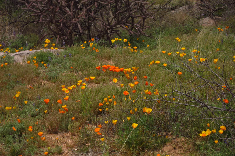
As you can see, the poppies were everywhere!
This is looking west in the Avra Valley. The mountains seen here are probably the Silverbell Range which the Silver Bell mining district is named for.
“Over past 130 years, the Silver Bell mining district yielded approximately 2.27 billion pounds of copper, 6.6 million pounds of molybdenum, 3.7 million pounds of lead, 40.8 million pounds of zinc, 2,100 ounces of gold, and 5.95 million ounces of silver.”
Source: Arizona Geological Survey
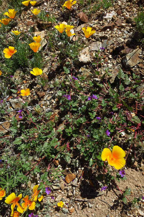
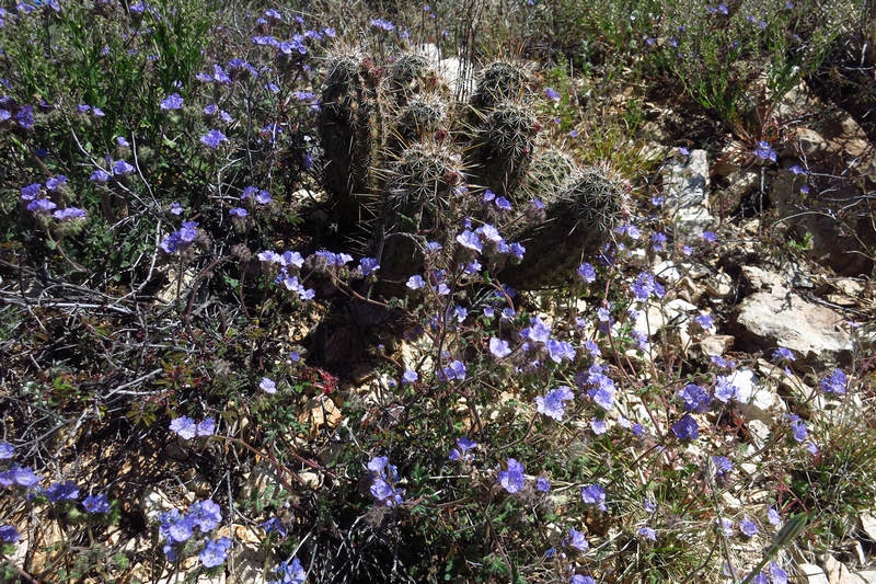
As yet I have not been able to identify this plant. One would think with the combination of the distinctive leaves and reddish stems it would be a no brainer. I guess that means I got no brains.
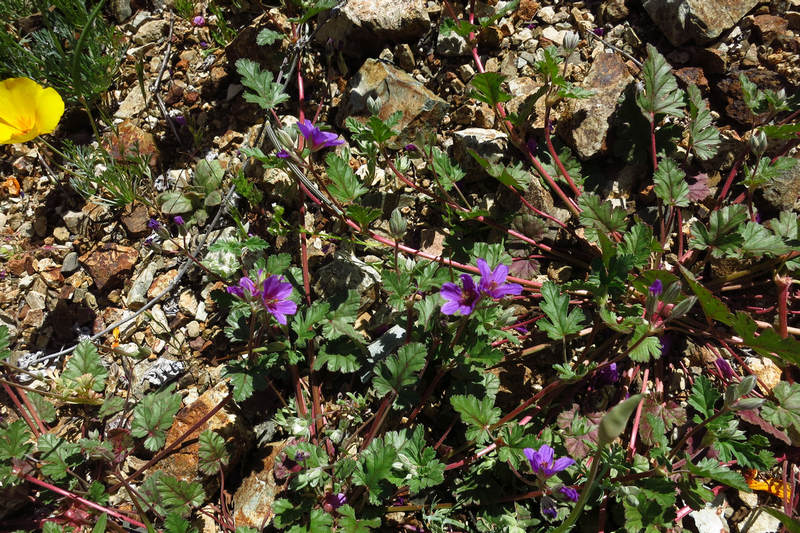
A closer look. Surely you can identify it!?
More of the same plant shown above? Now I am really confused! The little cacti are one of the Hedgehogs.
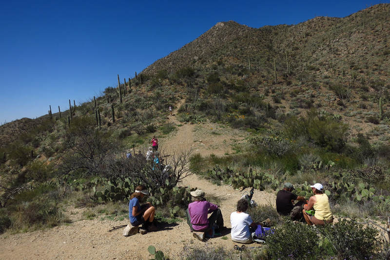
Here we are at the saddle, the traditional lunch stop for this hike. In the background you can see the trail which ascends to Wasson Peak, elevation 4,687'. It is the highest peak in the Tucson mountains. Wasson Peak was named for John Wasson, an editor of the Tucson Citizen.
The Tucson Citizen was a daily newspaper in Tucson, Arizona. It was founded by Richard C. McCormick with John Wasson as publisher and editor on October 15, 1870 as the Arizona Citizen.
When it ceased printing on May 16, 2009, the daily circulation was approximately 17,000, down from a high of 60,000 in the 1960s. The Citizen published as Tucson's afternoon paper, six days per week (except Sunday, when only the Arizona Daily Star (Tucson's morning paper during the week) was published as part of the two papers' joint operating agreement).
The Tucson Citizen was the oldest continuously published newspaper in Arizona at the time it ceased publication.
Source: WikiPedia
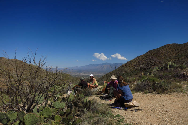
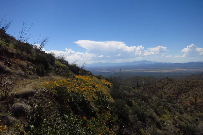
This is looking east to the Oro Valley and the northern end of the Santa Catalina Mountains.
Time for the return trip along the old mining road.
We were treated to a fabulous display of poppies for most of the hike back down into King Canyon.
This is again looking east to the Avra Valley.
The Avra Valley is a 50-mile (80 km) long northwest-southeast valley, bordering the west of Tucson, Arizona. The Tucson Mountains are at the valley's center-east, with suburbs ranging east of the Tucson Mountains and trending northwest to the Avra Valley's northeast. This entire northwest stretch from Tucson contains the northwest trending Interstate 10, the route to Casa Grande and Phoenix. The northeast of the valley contains Marana on I-10, the Pinal Airpark, an aircraft storage park, and other communities along I-10. Avra Valley Airport is a general aviation airport in Marana, located about 15 miles (24 km) northwest of Tucson and being used for storage of classic propeller-era airliners.
The center-(west) of the valley is at Cocoraque Butte, extended northeast from the Roskruge Mountains. Cocoraque Butte's height is 2,758 feet (841 m).
Source: WikiPedia
There are some people in the Tucson area, most notably Pima County Administrator Chuck Huckleberry (aka "Up Chuck") who are promoting and working towards the construction of what is being called Interstate 11. The proposed route would bisect the Avra Valley and would parallel the western boundary of the Saguaro National Park - Red Rock District. Needless to say there are many people for the project and many people against it.
Motivations?
For: Make money for few people
Against: Preserve the quiet beauty for all to enjoy
Interstate 11 (I-11) is a north-south Interstate Highway tentatively planned to run from Nogales, Arizona, to Reno, Nevada, along the current routes of I-19, I-10, US 93 and US 95.
As originally proposed in the 2012 Moving Ahead for Progress in the 21st Century Act, the highway would only run from Casa Grande, Arizona, to Las Vegas, Nevada, via Kingman and Buckeye, Arizona.[4] This was to provide a direct Interstate link between the Las Vegas and Phoenix metropolitan areas, which are currently the two largest adjacent American cities lacking a direct freeway link.
Source: WikiPedia
An ADOT map of the existing and proposed routes. How nice of them to make it so confusing.
I-11 would be a piece of the puzzle in the proposed CANAMEX Corridor a project of freeways and other transportation infrastructure linking Canada to Mexico through the United States.
The proposed route of the "NAFTA Superhighway Trade Corridor and Toll Road System".
When will it ever end?
Ok. Enough about roads!! Bring on the wildflowers...
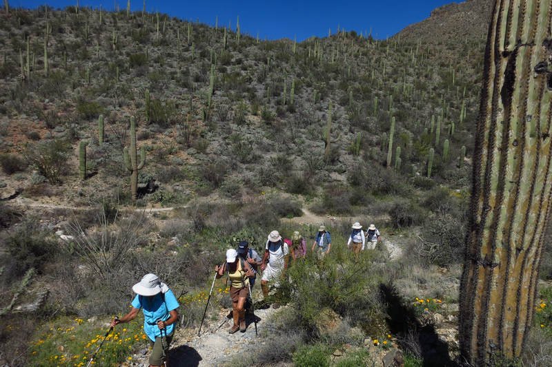
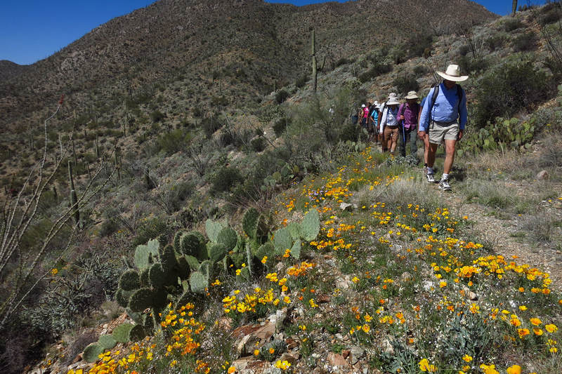
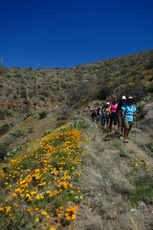
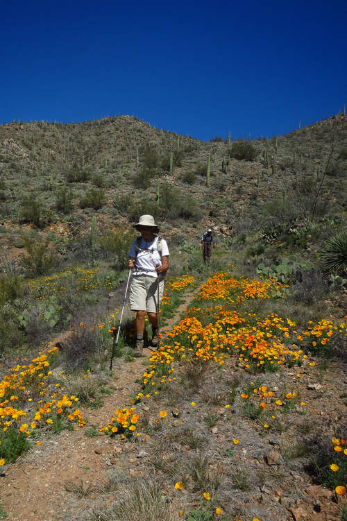
Happy hikers amongst the poppies.
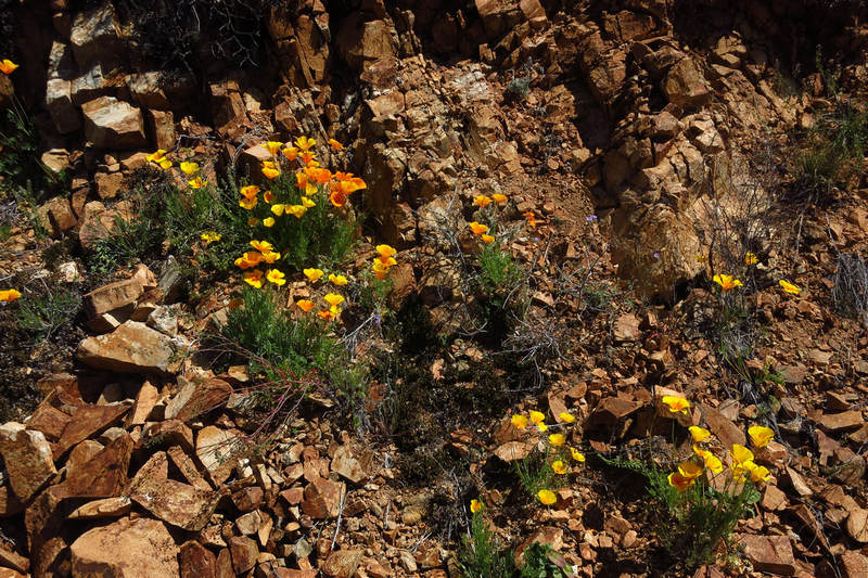
This clump of poppies was growing out of a crack in the rocks.
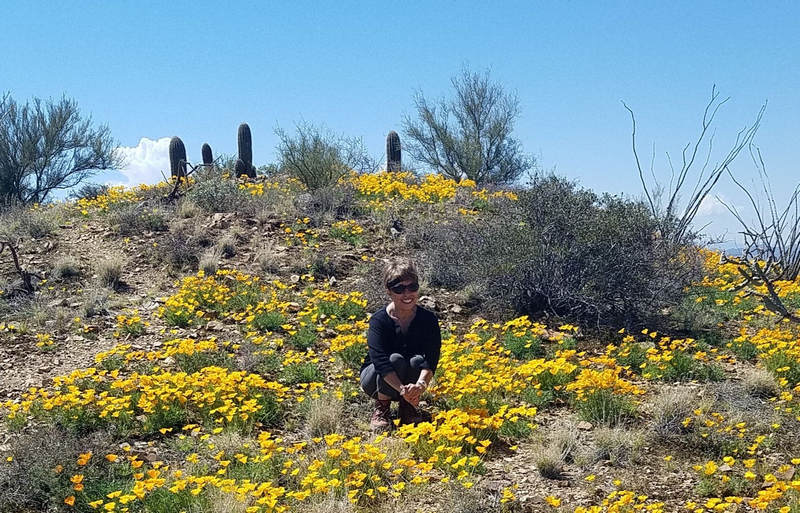
Betsy amongst the poppies.
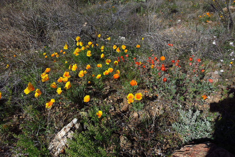
Poppies and Apricot Mallow.
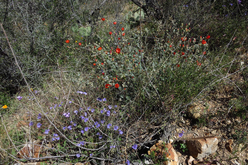
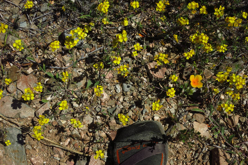
Poppies and lots of Tiny Yellow Flowers.
Who amongst you can put a name to these little beauties?
Poppies - as far as the eye can see...
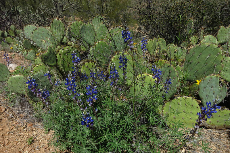
Lupine, staghorn cholla and poppies.
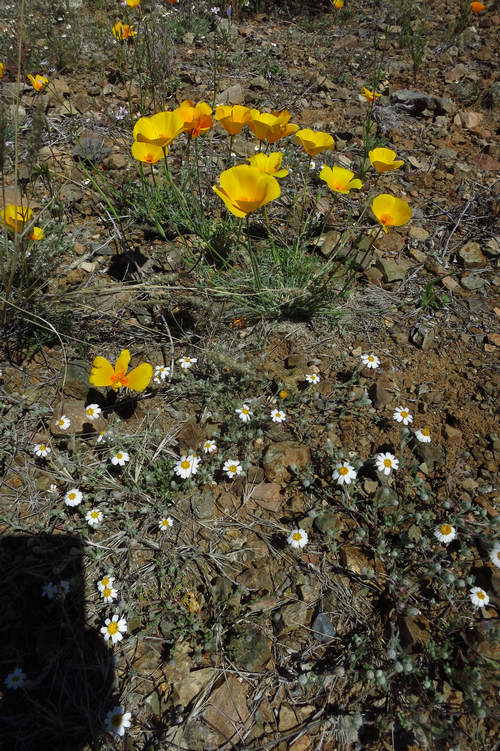
Poppies and White Zinnia? It is tough to tell from these hastily taken snap shots. But none the less they are mighty pretty.
Have you had enough of poppies and such?
You are in luck! That was the last photo.
Seeya next time...
Mike and Betsy
