Mike Breiding's Epic Road Trips ~2016~
Wheeling to Tucson
Bozeman Montana Area
A Whirlwind Tour of Yellowstone National Park
Wheeling to Tucson - Sunday October the 2nd
Yellowstone National Park
Considering the amount of driving we would be doing today Ryan advised an early start for our day trip into Yellowstone National Park. One reason for the additional driving was the closure of the north entrance road into the park. This would force us to use the West Yellowstone entrance. Not a big hardship as the drive was beautiful.
We met Ryan at 7am on Sunday morning and found him topping off the tires on the CRV. We loaded up things and drove a few short blocks to Bagle Works for a to go breakfast. The bagels were very tasty and prices below a fast food breakfast sandwich.
Our route would take us down US 191 south from Bozeman down the beautiful Gallatin valley.
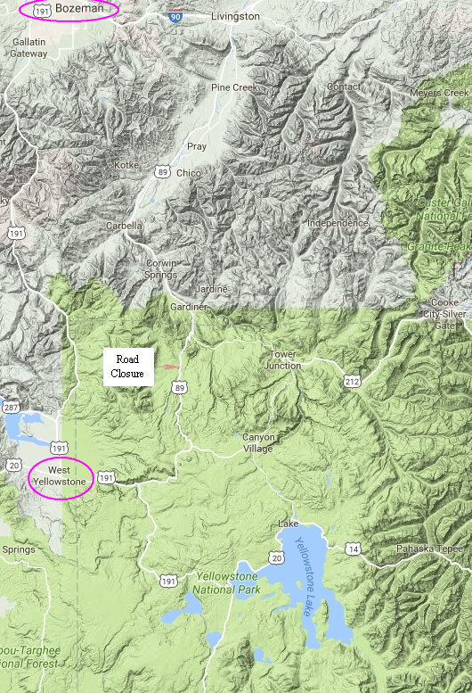
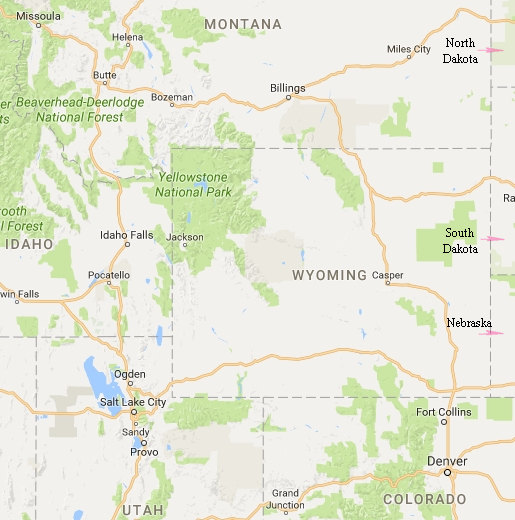
Our route: US 191 south to West Yellowstone, US 191 through the park to Yellowstone Lake. Then US 20 where we picked up "The Grand Loop Road", then north to Canyon Village and on to Tower Junction then west over to US 89 north of its closure point. We then took US 89 north through Gardiner then up to Livingston at the connection with I-90. Then west back to Bozeman.
This loop is 252 miles.
Here it is, the beautiful Gallatin River in the Gallatin Valley. Some of the scenes from the movie "A River Runs Through It" were filmed here.
A fly fisherman's dream come true.
One last shot before we started back down US 191.
When we saw more gorgeous fall color along the way it made me the think of Blanche's friendly chiding of us for leaving Wheeling so early and missing the fall color in the Appalachians. I emailed Blanche back and told her we would see the fall color "another place and another time".
It looks like I was right!
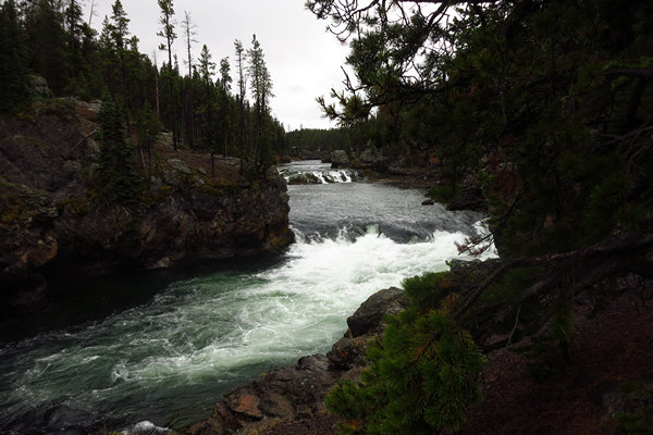
Our first stop in the park was here at Firehole Falls. We donned our rain gear for a look at the booming falls and scenic gorge. The rain here was to be a preview as it would dog us the entire day. No blue skies for us today. It stayed overcast and gloomy with just a few short peeks of blue skies.
Lt. Gustavus C. Doane, U.S. Army, a member of the Washburn-Langford-Doane Expedition described the falls in his 1871 report to the Secretary of War:
Following down the river bank through a deep cañon of volcanic rocks, in many places broken in huge fragments, we presently came to rapids, having a fall of perhaps 40 feet in a half mile. At this point the channel narrows to 150 feet, and is shut in by perpendicular rocks. We were obliged to scale the ridge above, and follow down the steam on its summit, through dense timber and steep ravines, with considerable difficulty. In three miles we reached a level bottom, on the river, at the junction of a large creek coming in from the northeast. Camped at the junction. Distance 18 miles.
Although the falls were commented on in the Washburn and Hayden explorations, there is no historical record as to how they got their name. By the mid-1880s, they were routinely referred to as Firehole Falls in both government and commercial accounts of the park.
Source: WikiPedia
Here is one of the reasons Betsy and I usually avoid National Parks. Although this traffic jam was short lived it would not be so in peak season.
This back-up turned out to be from a group of Bison who were wandering out onto the road. They were later hearded off by park personnel and the traffic started to flow again.
Here are the traffic stoppers. We would see them periodically throughout the day.
The steam in the background is from one of the many volcanic hot spots in the park.
There are several Geyser Basin areas in the park. We decided to check out Midway Geyser Basin. This is a sign of the times to be sure which was on the "don't do this stuff" post at the entrance to the geyser board walk.
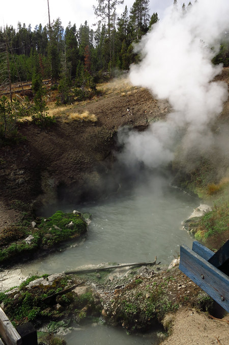
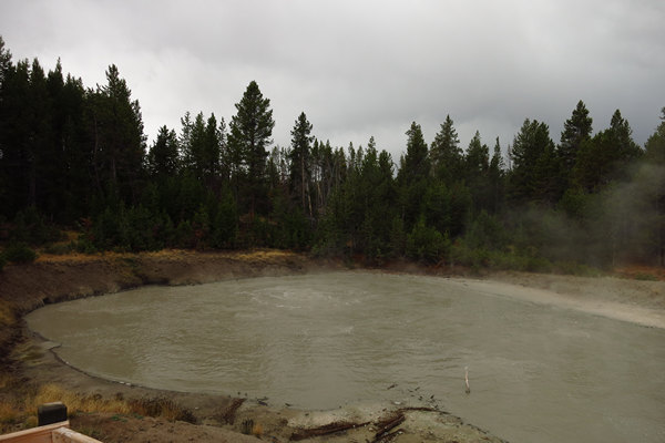
I think it is safe to say we have all seen many images of the geysers and steamy, boiling mud and water pots in Yellowstone. This makes it a little less impressive when seen first hand - but impressive it is. Especially when one considers you are standing on top of the Yellowstone Caldera which could blow at any time. The cool weather caused a lot of steam which obscures much of the volcanic features.
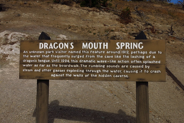
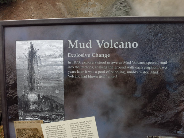
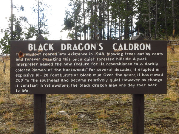
As one would expect there are lots of interpretive signs.
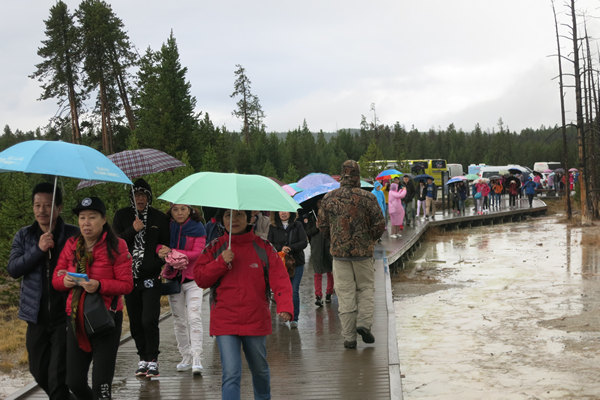
We had little competition for the boardwalk until 3 huge tour busses arrived and unloaded.
These folks had found an innovative way to keep their heads dry.
Yet another reason Betsy and I shy away from the big National Parks. This Disneyland like atmosphere cheapens and taints the experience for us.
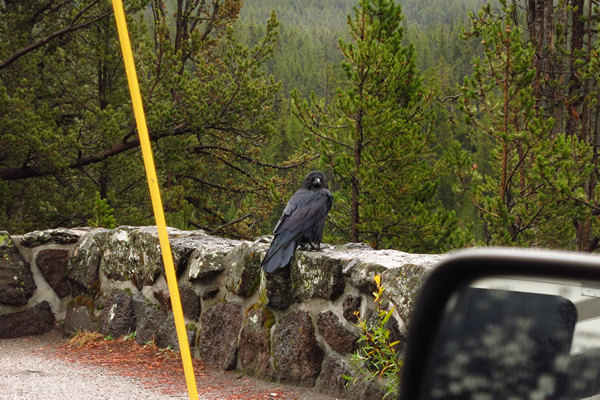
This Raven was at one of the pullouts. It was the biggest one we had ever seen.
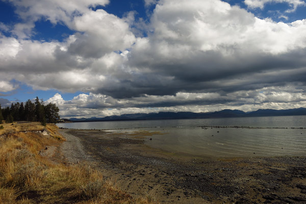
We finally managed to escape the crowds and traffic when we arrived at Yellowstone Lake. Here we found a picnic area with only one other car and no one in sight. I imagine it must be crazy in the summer with all the people trying to get a picnic spot.
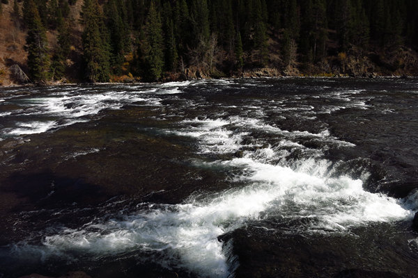
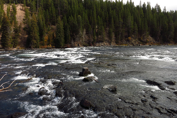
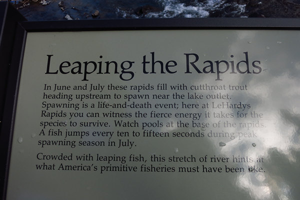
We stopped at LeHardy's Rapids of the Yellowstone River to have a look around. Quite beautiful. .
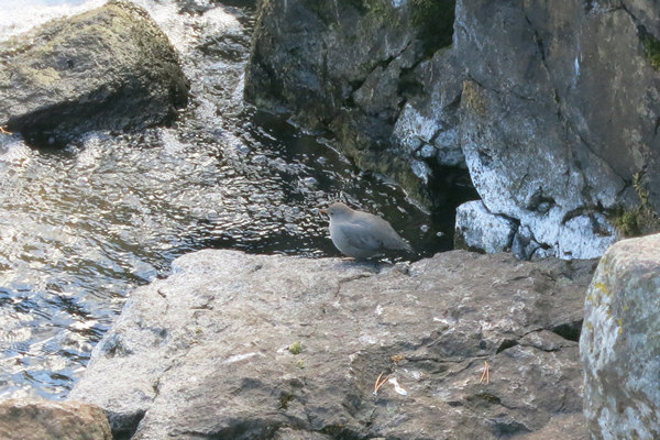
We had the bonus of seeing several birds called "Dippers", also know as Water Ouzals. They have long legs and comically bob up and down between dives into the river where they swim and walk underwater in search of insects to eat. Betsy and I got our first look at this bird on June of 1982 while we were on our Honeymoon
Just south of Canyon Village we stopped at another geyser basin. Fortunately we had arrived here before the tour bus. Ryan mentioned they might still all be back at old Faithful waiting to see hot water squirt out of the ground.
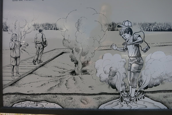
Is mom holding her smart phone up to her ear while Little Johnny par boils himself? Truly a SnapChat moment!
Very impressive. This reminded both Betsy and me of blow holes we saw at Cape Perpetua on the coast of Oregon.
I found it nearly impossible to get a representative snapshot of most of the bubbling and boiling pots.
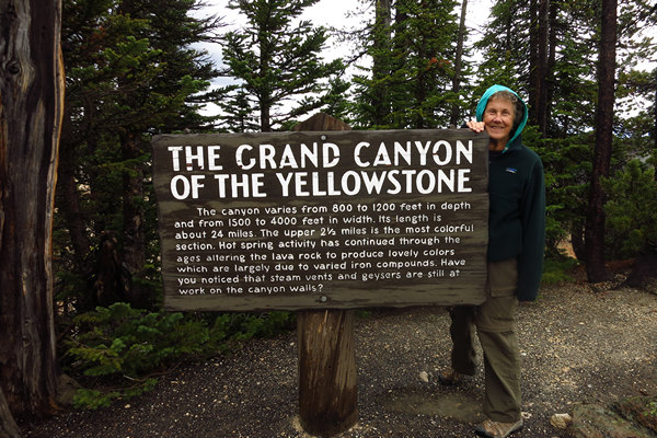
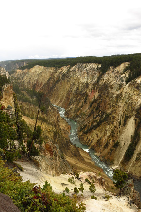
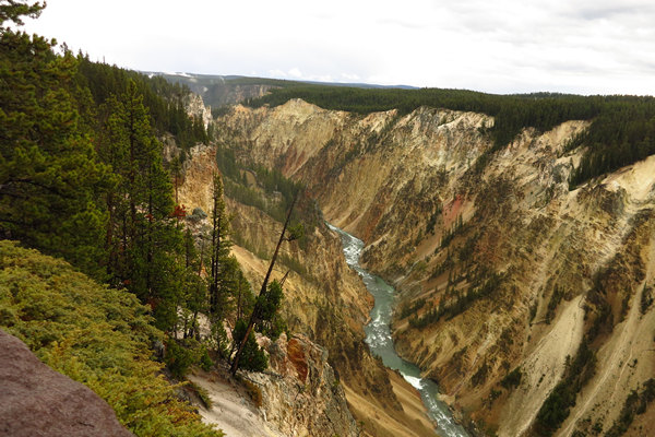
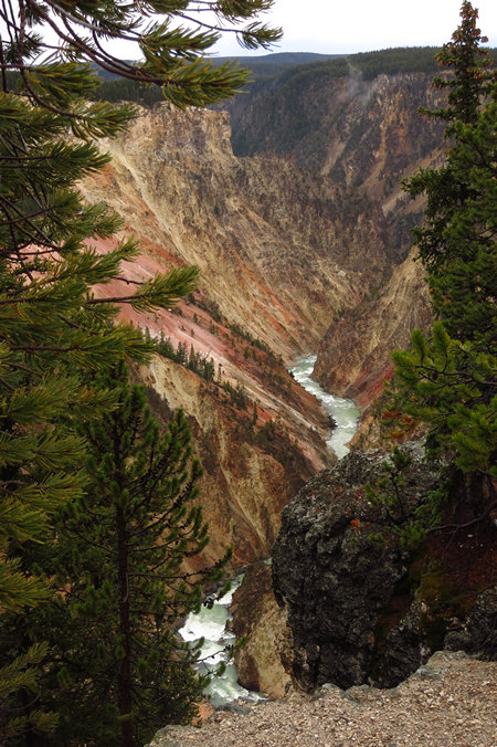
There are a couple of beautiful waterfalls just before the Yellowstone Canyon opens up.
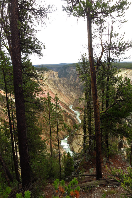
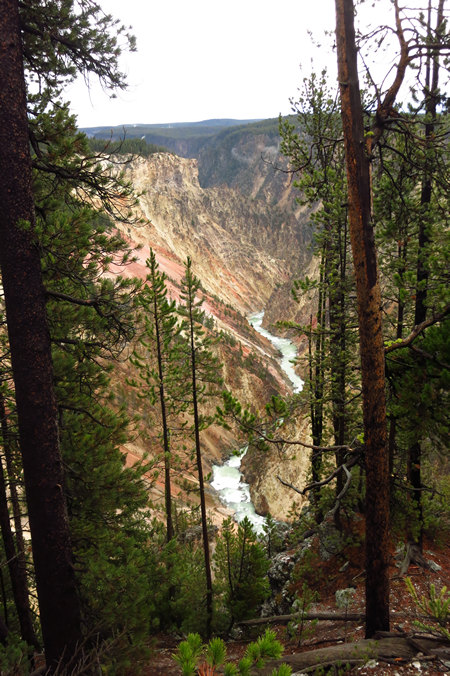
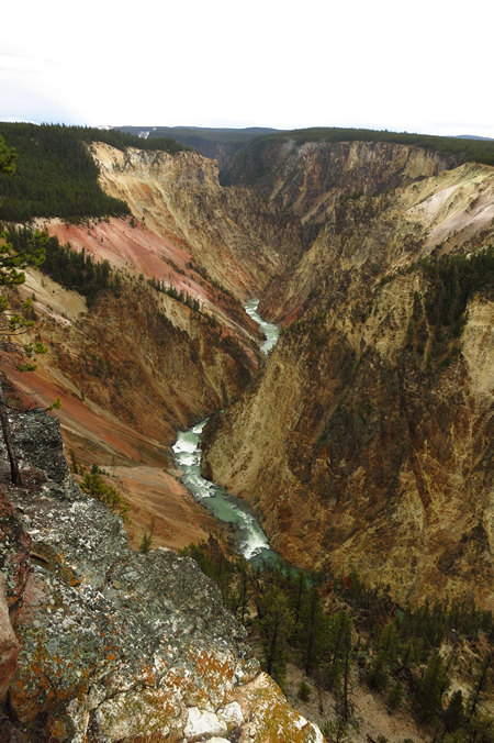
This is one of the most beautiful sights I have ever seen.
I found it difficult to stop taking pictures.
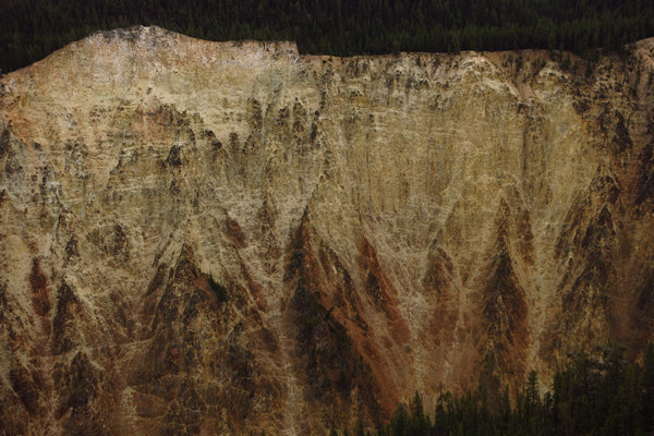
Perhaps these yellowish canyon walls are where the park got its name...?
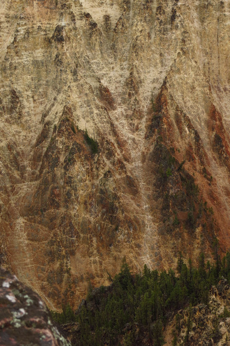
The canyon walls had some interesting patterns.
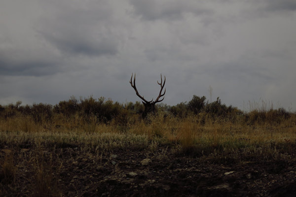
On our way out of the north entrance of the park we saw a bull elk and his harem. While they fed, he lounged around nonchalantly in the tall grass.
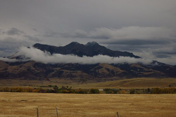
As we headed north on US 89 we passed the Devil's Slide, the 45th Parallel, a herd of Pronghorn Antelope that must have numbered close to 100 and lastly, Emigrant Peak.Emigrant Peak el. 10,915 feet (3,327 m)is a prominent mountain peak on the western edge of the Absaroka Range near Emigrant, Montana. The peak is flanked by Emigrant Gulch on the north and Sixmile Creek on the south with the Gallatin National Forest and lies just outside the Absaroka-Beartooth Wilderness. The peak is readily visible from Paradise Valley, Montana and U.S. Route 89 when traveling to the north entrance of Yellowstone National Park at Gardiner, Montana.
Source: WikiPedia
Not long after this we pulled into the small town of Livingston. Not surprisingly Ryan knew of a brewery (Katabatic Brewing Company) there where we could sample the wares and enjoy some Mexican food from next door.
Then it was on to Bozeman where we said our good-byes to Ryan.
Next stop - Craters of the Moon National Monument.
