Mike Breiding's Epic Road Trips ~2016~
Wheeling to Tucson
Bye-bye Montana - Hello Idaho
Arco Idaho and Craters of the Moon National Monument
Wheeling to Tucson - Monday October the 3rd:
Goodbye Bozeman, Hello Arco and Craters of the Moon
Craters of the Moon National Monument and Preserve is a U.S. National Monument and national preserve in the Snake River Plain in central Idaho. It is along US 20 (concurrent with US 93 and US 26), between the small towns of Arco and Carey, at an average elevation of 5,900 feet (1,800 m) above sea level. The protected area's features are volcanic and represent one of the best-preserved flood basalt areas in the continental United States.
The Monument was established on May 2, 1924. In November 2000, a presidential proclamation by President Clinton greatly expanded the Monument area. The National Park Service portions of the expanded Monument were designated as Craters of the Moon National Preserve in August 2002. It lies in parts of Blaine, Butte, Lincoln, Minidoka, and Power counties. The area is managed cooperatively by the National Park Service and the Bureau of Land Management (BLM).
The Monument and Preserve encompass three major lava fields and about 400 square miles (1,000 km) of sagebrush steppe grasslands to cover a total area of 1,117 square miles (2,893 km). All three lava fields lie along the Great Rift of Idaho, with some of the best examples of open rift cracks in the world, including the deepest known on Earth at 800 feet (240 m). There are excellent examples of almost every variety of basaltic lava, as well as tree molds (cavities left by lava-incinerated trees), lava tubes (a type of cave), and many other volcanic features.
Source: WikiPedia
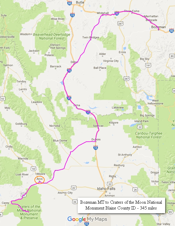
Today would be a relatively short drive - 345 miles. This and an early start would get us to Craters of the National Monument near Arco Idaho in time to do some exploring.
We departed Bozeman about 7 am on Monday morning. It was cold, wet and windy. For the most part this was not to change for the remainder of the day.
There was steady rain which was punctuated with heavy downpours for 200 miles. This put us at the junction of I-15 and SR 22 near the town of Dubois ID which is the county seat of Clarke County, popultion 760.
The rain let up briefly but started up again and continued for most of the drive to Arco (el 5,325') .
Betsy had done some web research on places to stay near Craters of the Moon NM and chose the DK Motel in Arco. Arco is only 20 miles from the Craters Visitor's Center and we could walk out the hotel room door to a nearby eatery and city park.
I would guess the DK was built in the 1950s. The rooms had been updated somewhat but the ceilings still had untouched knotty pine paneling as did the doors.
As seems to be the case with most motels anymore the room reeked of a chemical fragrance which was nearly over powering. Before we left the room we opened all the windows and to try to air it out. We are not always so lucky with the windows.Many places have sealed windows now.
Just a few miles south down US 93/26/20 we stopped for a photo op. Note the snow capped peaks in the distance. I cannot be certain but I think those are the Pioneer Mountains. However there are 3 ranges in this direction of view -the Sawtooths, the White Knobs and the Pioneers.
Most of the days drive had views like this - grassy valleys with sheep, cattle and sometimes prong horn antelope grazing the day away. Always there were mountains in the distance.
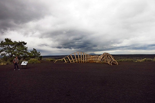
What the **** is THAT!?
This is sculptor John Grade's "Spur".
John Grade visited Craters with The Center’s curators in January 2015, camping overnight at the park. Struck by its extraordinary geology, he returned in September 2015 to digitally scan the interior of a lava tube that is the basis for a 75’ long sculpture he is constructing.
Spur is inspired by lava tubes under the surface of Craters of the Moon National Monument. ... The sculpture is also inspired by the history of the railroad, particularly the spur line that once diverged north from the main tracks abutting the National Monument into the Wood River Valley.
Source: www.johngrade.com
This is quite the dramatic setting don't you think?
Having been inside more than one lava tube we can attest to Grade's accuracy in his interpretation of the interior surface.
Check out some of John Grade's other projects. Fascinating.
And, you can read here about "Craters of the Moon" which is a project of the Sun Valley Center for the Arts in Ketchum, Idaho.
After a stop at the Visitors Center we started exploring some of the trails.
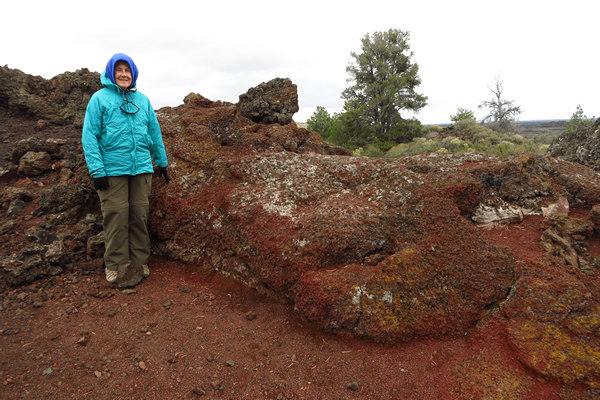
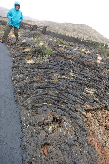
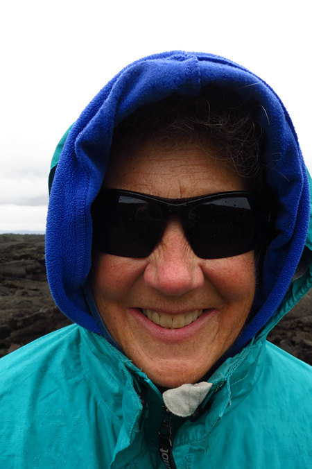
As you can see from Betsy's attire it was still a bit windy and cold. But, we did not let that dampen our spirits. In addition to this the lighting was about as bad as it can get for taking snaps. Oh, how I was wishing for blue skies and big puffy clouds...
As with other areas where molten lava once covered the earth the landscape tends to be a little on the bizarre side.
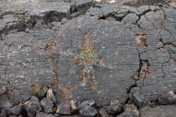
This shrub which is growing out of a crack in the lava must endure both scorching summer heat (Summer soil temperatures often exceed 150 °F) and frigid winter temperatures which can drop to as low as 30 degrees below zero. Add to that the minimal precipitation during the growing season and you get some well adapted and pretty tough plants (and animals).
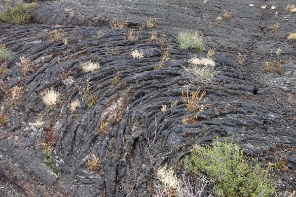
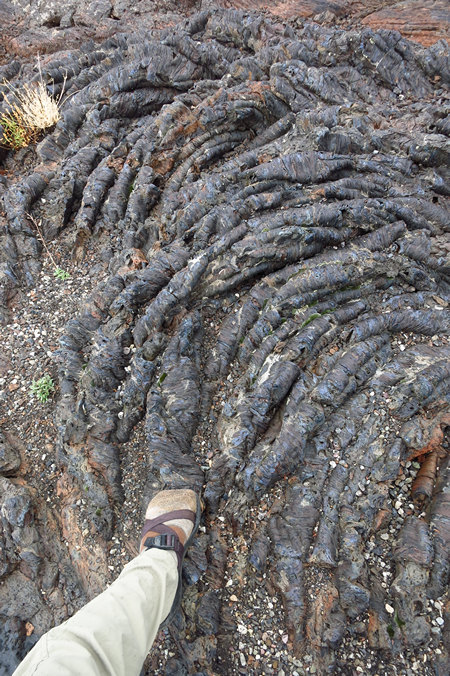
I cannot be certain but I think this is a type of lava called pahoehoe (pa-hoy-hoy), which means "ropy" in Hawaiian. I got down on my belly for this shot that is why it looks cock-eyed.
Very, very strange. And beautiful.
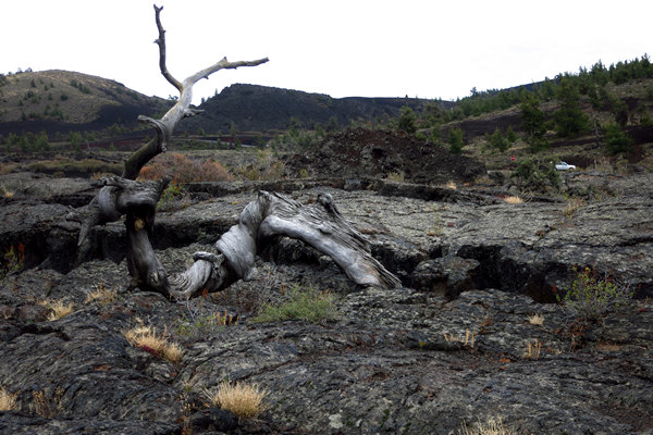
This is the so called "Triple Twist Tree (Pinus flexilis) which was still alive in the 1950s. A core sample taken from the triple twist tree showed it to be at least 1,350 years old. That is what I call slow growth.
P. flexilis is typically a high-elevation pine, often marking the tree line either on its own, or with whitebark pine (Pinus albicaulis), either of the bristlecone pines, or lodgepole pine (Pinus contorta).
In favourable conditions, it makes a tree to 20 meters (65 ft), rarely 25 meters (80 ft) tall.
However, on exposed treeline sites, mature trees are much smaller, reaching heights of only 5–10 meters (15–35 ft). In steeply-sloping, rocky, and windswept terrain in the Rocky Mountains of southern Alberta, limber pine is even more stunted, occurring in old stands where mature trees are consistently less than 3 metres (10 ft) in height.Source: WikiPedia
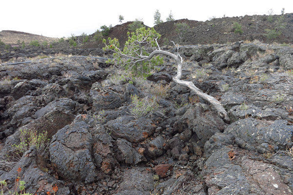
Here is another Limber pine (Pinus flexilis) which is still hanging on. It doesn't take much imagination to guess which way the prevailing winds are coming from.
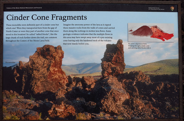
"Rafted blocks", "hardened neck of a volcano", "pyroclastic fragments and cinder cones", pumice xenoliths, "squeeze-ups" and on and on and on. Welcome to the way out world of lava lingo. A bit mind bending if you ask me. But, most geologic concepts and theories have that effect on me.
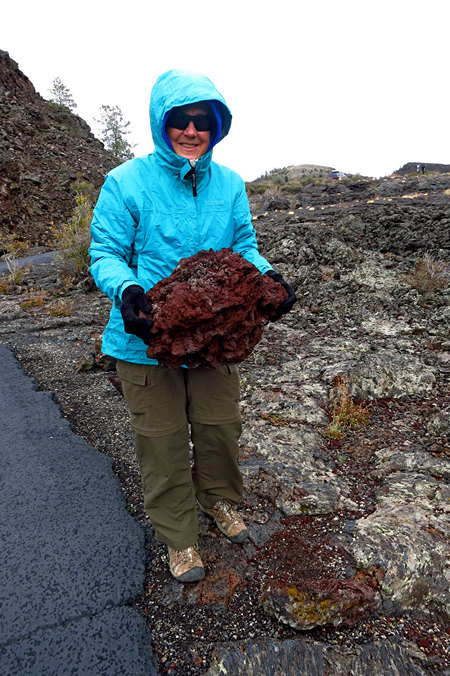
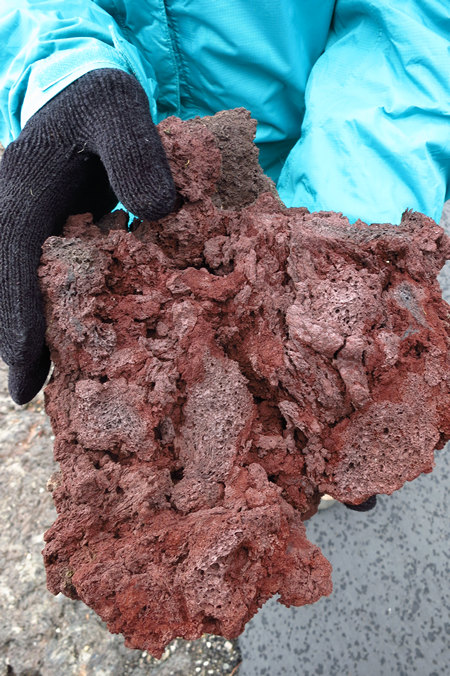
I bet you have seen this before. Maybe in your grill or in the "outdoor" section at WalMart. This big chunk of lava rock is so puffed up with air pocket it weighed only a few pounds.
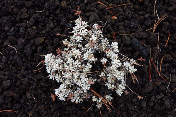
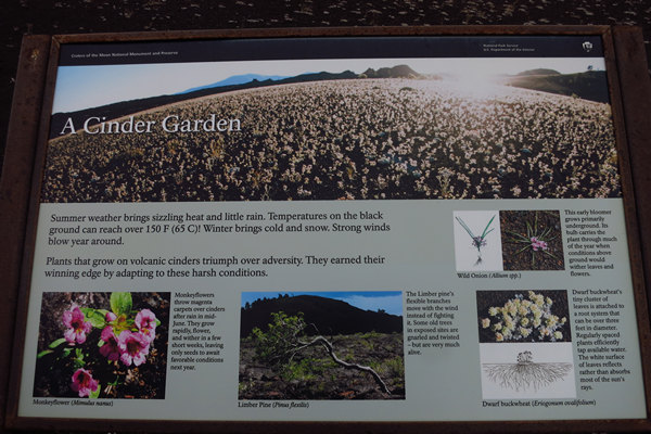
Talk about a rough neighborhood! This gives a whole new meaning to the phrase "heat tolerant plant".
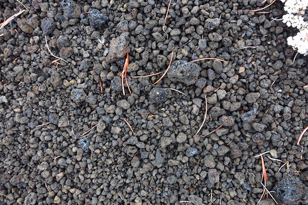
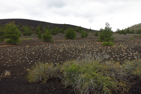
Yes, this is what passes for soil in these here parts.
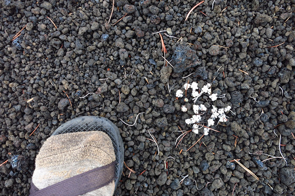
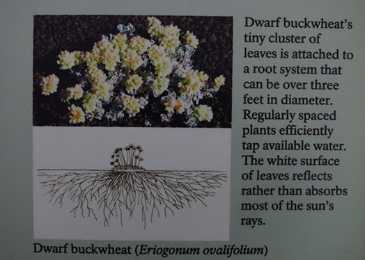
All of those white dots are nearly equally spaced plants of Dwarf buckwheat (Eriogonum ovalifolium).
I would love to be here in the Spring when the 10s of thousands of wild flowers are in bloom.
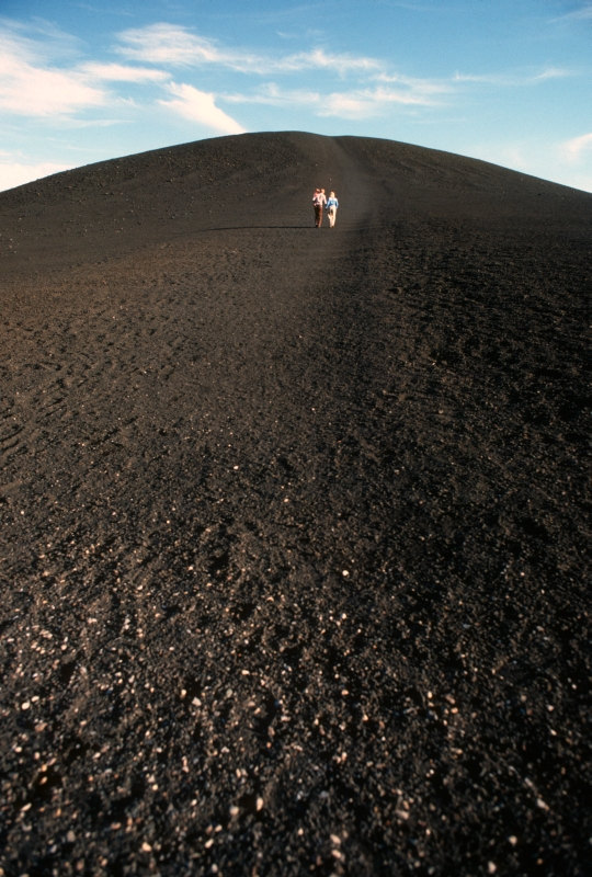
On our way to the caves are we stopped for a short but steep hike up Inferno Cone.
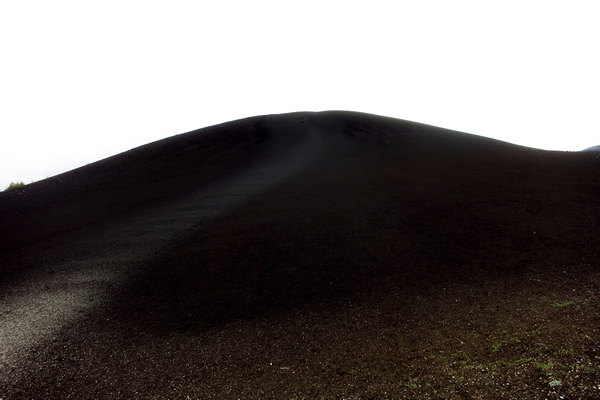
Cinder cones form when gas-rich volcanic froth erupts high into the air and then piles into a mound. Climb Inferno Cone, if you wish, but don’t be disappointed if you are unable to locate the source of the eruption at the top. These cinders were actually blown by the wind, and possibly squirted in this direction, from a vent far below near the Spatter Cones parking lot.
Source: NPS
A much better photo of the Inferno Cinder Cone from the NPS site.
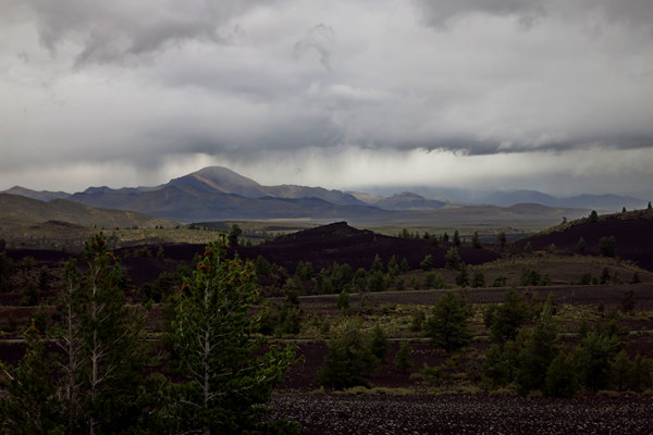
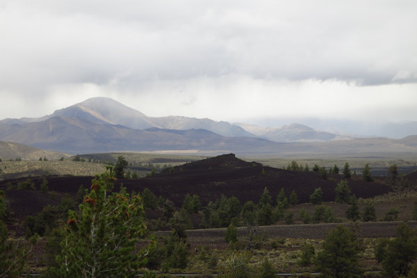
This view from the top of Inferno Cone clearly shows there was rain in the area, but thankfully not where we were standing. However, the chilly wind continued to pummel us.
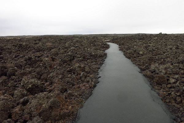
A look at the landscape on the way to the cave (lava tube) area.
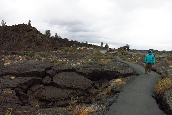
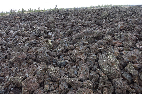
The ribbon of asphalt was reminiscent of a stream running through the jumble of lava chunks.
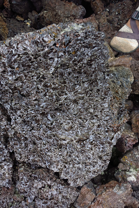
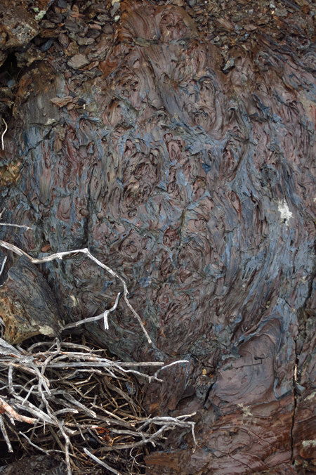
On our way to the lava tubes we saw more interesting types of lava. I don't know if this is obsidian or not but the shiny color made me think it might be.
Even though it was heavily textured it felt slippery and smooth to the touch. I found this out the hard way (literally)when Betsy went on ahead and I stayed back to take more snaps.
While passing a breakdown window in one of the lava tubes I saw someone exiting it from below. As I watched them they lost their balance and fell backwards, down, and then out of sight. I rushed over and saw a fellow about my age struggling to get up. Mikey to the rescue!
As I descended in to the breakdown area my foot found one of those "slippery and smooth" rocks and I went down hard - right on my tailbone. Ouch. My arms flew out in an effort to break my fall. Instead they broke/tore two finger nails and chewed up one of my arms. Now it was my turn to need help! Fortunately the worst injury was to my pride and both I and the fella that fell got up and out and back on the trail and then caught up with Betsy to continue our walk.
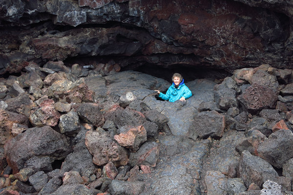
Betsy the intrepid lava tube explorer!
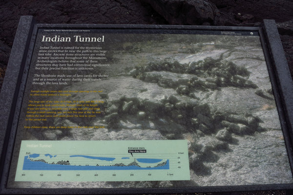
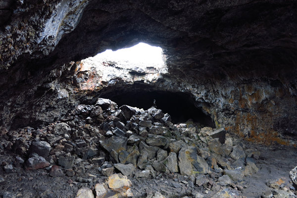
The tunnel is large. A stairway provides easy entry. Collapses in the ceiling allow sunlight to enter so a flashlight is not needed to travel in most of the cave. The size of the tube (30' high, 50' wide and 800' long) allows you to walk comfortably. If you are willing to scramble over a large pile and climb through a small opening, you can exit this cave at the far end. Follow the rock cairns with posts across the lava to return to the paved trail. Do not allow children to wander. There are deep holes in the rock near the trail.
Source: NPS
As soon as we entered the tube we could see the ceiling collapse mentioned above. Betsy and I continued on into the tube. The fella I "rescued" was not far behind us.
You can see another window further up the tube. As promised we needed no additional light but you can be sure we both watched our steps carefully.
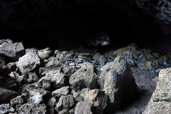
At the blocked end of the tube we scrambled up a break down slope and found the exit hole.
The fellow we met earlier was right behind us and the three of walked back across the lava field to join up with his wife. It turns out his wife, whose name was Darlene had been quite the active caver at one time.
I started dropping names like: Geary and Sue Schindel, George Dasher, Bill Balfour, Roppel Cave. She knew them all.
Once again my world had shrunk.
All that explorin' and such caused up to develop a mighty appetite. So it was off down the road and back to Arco for a world famous Atomic Burger.
The menu cover for Pickle's Place.
We decided to have Happy Hour first so we ordered our Atomic Burgers but asked for our side of fries first to have with our beers. We got the fries - a nice sized basket of them and told the waiter we would let him know when we were ready for our burger. (We decided to split one).
We finished up the fries, alerted the waiter to have the cook work on our Atomic Burger and after a while we got it. Well, not actually. They had cooked us a plain old cheeseburger. DAMMIT! We wanted the burger that glowed in the dark! Rather than wait godknowshowlong for them to fix what we actually wanted we wolfed down the burger and asked for our check.
It was then we discovered rather than giving us our included side of fries they sold us a basket instead. No wonder it seem like a big portion. So, they managed to totally screw up the order which means we will have to go back again someday and give it another try.
When we left Pickles we walked across the road to investigate further something we had noticed on our way into town.
This hillside with all the graffitti is know locally as Number Hill or Graduation Mountain. Apparently the graduating class of 1920 decided to make their mark on this rocky hillside lest they be forgotten. They new it not then but they had started a tradition on that day. Now the hillside is covered with graffitti.
We then walked down the street to the road side park.
The museum was closed but here again we see the "Atomic" reference.
Near the conning tower of the fast-attack nuclear submarine USS Hawkbill (SSN-666), aka "The Devil Boat." sat this torpedo. Nice park ornament for kids to play on.
The Atomic connection and Arco's only claim to fame.
Originally known as *Root Hog, the original town site was five miles (8 km) south at the junction of two stagecoach lines (Blackfoot-Wood River and Blackfoot-Salmon). A suspension bridge that crossed the Big Lost River funnelled traffic through the settlement. The town leaders applied to the U.S. Post Office for the town name of "Junction."
The Postmaster General thought the name too common and suggested that the place be named Arco for Georg von Arco (1869–1940) of Germany who was visiting Washington, D.C. at the time. Georg von Arco was an inventor and a pioneer in the field of radio transmission and would become the lead engineer of Telefunken, a German company founded in 1903 that produced radio vacuum tubes. The town later moved four miles southeast when the stage station was moved to Webb Springs at Big Southern Butte. When the Oregon Short Line railroad arrived from Blackfoot in 1901 the stage lines became obsolete and the town of Arco moved northwest to its present site.
Arco was the first community in the world ever to be lit by electricity generated solely by nuclear power. This occurred for about an hour on July 17, 1955, powered by Argonne National Laboratory’s BORAX-III reactor at the nearby National Reactor Testing Station (NRTS), which eventually became the site of the Idaho National Energy Laboratory, a predecessor of the current Idaho National Laboratory. NRTS made further history on January 3, 1961, when the SL-1 reactor was destroyed through an operator maintenance error, causing the deaths of all 3 personnel present.
It was the world's first (and the U.S.' only) fatal reactor accident.Source: WikiPedia
*Root, hog, or die = to survive; to fend for yourself; to make it through tough circumstances by working hard.
The SL-1 Reactor Accident at the Idaho National Engineering Laboratory
The world's first fatal atomic accident occurred on January 3, 1961 when a small, 3MW experimental BWR called SL-1 (Stationary Low-Power Plant No. 1) in Idaho was destroyed after a control rod was removed manually. At 9:01pm, alarms sounded at the fire stations and security headquarters of the U.S. National Reactor Testing Station where the reactor was located. Investigation found two operators dead (third died later), and detected high radiation levels in the building.A careful examination of the remains of the core and the vessel concluded that the control rod was manually withdrawn by about 50 centimeters (40 centimeters would have been enough to make the reactor critical), largely increasing the reactivity. The resulting power surge caused the reactor power to reach 20,000MW in about .01 seconds, causing the plate-type fuel to melt. The molten fuel interacted with the water in the vessel, producing an explosive formation of steam that caused the water above the core to rise with such force that when it hit the lid of the pressure vessel, the vessel itself rose 3 meters in the air before dropping back down.
The SL-1 accident was the first fatal nuclear accident in the United States. The men killed in the incident were two Army Specialists, John Byrnes, age 25 and Richard McKinley, age 22, and Richard Legg, a 25 year old Navy Electricians Mate. Richard McKinley was interred in Arlington National Cemetery. John Byrnes and Richard Legg were buried in their hometowns in New York and Michigan.
Source: © http://www.RadiationWorks.com/
If you want to read more here is a RoadsideAmerica.com write about the "World's First Nuclear Power Plant".
And if you are ever in Arco around the middle of July you won't want to miss the Atomic Days Celebration.
This sign is adjacent to the parking area of Bottolfsen Park.
Clarence Alfred Bottolfsen (October 10, 1891 – July 18, 1964) was a politician from Idaho, a member of the Idaho Republican Party. He served as the 17th and 19th Governor of Idaho, from 1939 to 1941 and again from 1943 to 1945.
Born in Superior, Wisconsin, Bottolfsen moved with his family to Fessender, North Dakota, in 1902 where he was educated in the public schools. While in high school, he worked as a printer's devil (an apprentice or errand boy) in a local printing shop. In 1910, the owner of the shop moved to Arco, Idaho, purchased the Arco Advertiser, and sent for Bottolfsen, then nineteen, to manage it. He purchased the paper and continued to be the publisher in Arco until 1949. He married Elizabeth Hanna on August 27, 1912.
Source: WikiPedia
The Peaks to Craters Scenic Byway is one of Idaho's newer byways but also one of its most diverse. On this route there are massive lava flows, wetlands, high desert and some of Idaho's tallest mountains. The byway runs right along the magnificent Lost River Mountain Range which features nine of Idaho's highest peaks including the tallest in the state, Mount Borah.
Source: 2016 © Idaho Public Television
Perhaps someday we will return to this area and explore the Peaks to Craters Scenic Byway. But for now we must continue on westward as we have important business in Redmond Oregon.
See you then...
~Mike and Betsy
