05 July 2014
Back in the 1990s I was obsessed with Rail Trails. Our trails in Morgantown and beyond were just being developed and I was on the Board and then VP of the Mon River Trails Conservancy. I put in 100s of hours of volunteer time both "on the ground" (installing gates, etc) and by going to meetings, talking to land owners and visiting any rail-trail I could so as to better educate myself as to design, construction, signage, amenities etc and bring that info home. And that is what led Betsy and I to the Wisconsin rail trails back in the 90s.
In June of 1999 Betsy and I rode the Elroy to Sparta (E2S) Rail Trail. That was 15 years ago. Although we returned to Wisconsin the following summer for more rail trail riding, neither of us has been back to the E2S since.
I decided it was time for another visit.
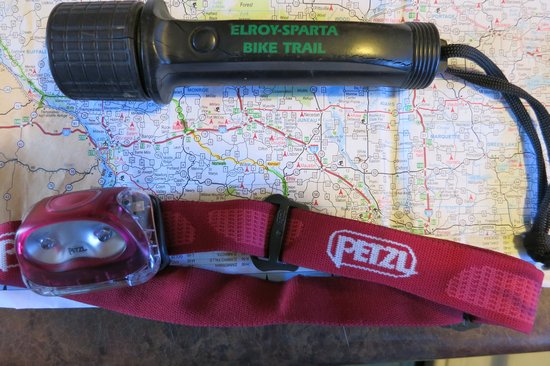
Above is a keepsake from that trip in 1999. We bought it at the Elroy Commons Trail Shop in Elroy. Times have changed. The Petzl is what I will use this time around.
Elroy Commons also has a big pavilion as well as rest rooms with nice hot water showers.
Welcome to the first Rails to Trails Project in America, The Granddaddy of them all, The Elroy Sparta Trail. The trail remains one of the most popular trails in the country. With three rock tunnels and five small towns along it's 32.5 mile route, the trail is a favorite Wisconsin bicycling destination. Traveling between Sparta and Elroy, the trail stretches through the communities of Norwalk, Wilton and Kendall.
The Elroy Sparta Trail is the property of the State of Wisconsin and is part of it's State Trails System run by the Department of Natural Resources and supported by the Friends of the Elroy Sparta Trail. It is located in Hidden Valleys Country and passes through a portion of the unglaciated areas of Wisconsin exemplifying the natural beauty of our State. Part of the "Bike4Trails" it connects to 101 miles of trails.
Source: elroy-sparta-trail.com
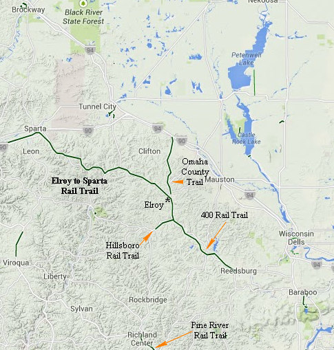
This part of Wisconsin might not be called mountainous, but it is indeed hilly. Thus the need for the 3 tunnels on this stretch of the rail line.
Click on the photos below for a larger image.

I decided to bed down at the Sugar Maple Inn in Kendell which is 6 miles from Elroy where the E2S begins. This is the view out the door of my room. It looks directly onto the rail trail which is only about a 100' feet away
Betsy and I had stayed here previously although neither of us remembers which trip that was.
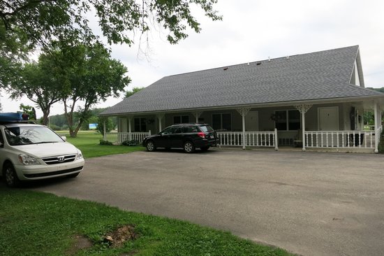
The view of the Sugar Maple Inn from the rail trail. The place was well maintained and the grounds well kept up.
Before starting on my ride I made a quick trip (by car) 6 miles SE to Elroy to see what Elroy Commons looked like 15 years later. Everything pretty much looked the same as I remembered it.
The Commons provides a lot!
Trail shop and information center
Bike trail passes
restroom with shower facilities
Pay phone
Free Wi-Fi
Parking
Bike rentals
Basketball courts
Picnic area
New playground
Access to shops and downtown dining

There were two cyclists at the Commons getting cleaned up. One of the bikes had loaded panniers and this other one was loaded as well! Yep, those are big speakers hanging from the handle bars. Crazy.
I drove back up to Kendell and got my stuff ready to ride and take a few snaps around the Village of Kendall.
I was getting a much later start than I had hoped for and I was glad there would be day light until nearly 10 pm.
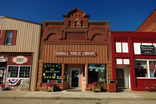
Cute little library. I was surprised such a tiny town could support one.
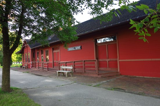
This is the trail HQ in Kendell. This shot was actually taken on Sunday morning the day after I rode the trail. On the day I rode it was packed with people out enjoying the 4th of July weekend and beautiful weather.
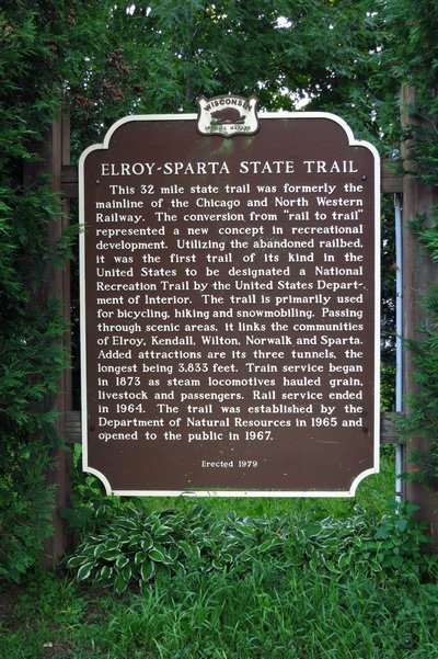
A little bit of trail history.

This is just north of Kendell. The fees go to maintenance like tunnel clearing, rolling the trail, signage repair,etc.

Tunnel No. 1 is 3 miles from Kendall and 6 miles from Wilton. It is 1,694 feet long and was completed in 1873 after one and a half years of digging. It cost $98,971 or $58 a foot.
The cool air coming out of the tunnel felt wonderful!
People were busy getting photos taken and putting on their headlights.

The doors are closed in the winter to help minimize the freeze thaw cycle that causes both roof and sidewalls to shed big chunks of rock.

I always enjoy botanizing when hiking or biking. I always see familiar faces. Like a lot of familiar faces, some don't always immediately conjure up a name. Here is one of them.
WHAT is this? It's been driving me nuts. So familiar it is but I can't remember the name.

This is the Trail Tunnel Campground. It is right on the trail. My idea of hell. Radios, barking dogs, kids screaming. But, they do have miniature golf for those who want to maintain their muscle tone and quick reflexes.

These beautiful fruits really stood out from all the lush greenery along the trail. I thought it was Doll's eyes (Actaea pachypoda) but I am used to seeing Doll's eyes with fruit stems which are bright red.

Lots of beautiful scenery along the way - from deep woods to open farm country.

This is the trail where it crosses Rt 71. The trail pretty much parallels Rt 71 the entire length.

This sign was a new one on me. We could use them back home.

I spotted this as I was rolling by and did an about face.

They are Boxelder bugs. Quite colorful. Almost all the info on the web is about them being pests to humans. I think it is humans who are the pests to Boxelder bugs.
Milkweed bugs look similar to boxelder bugs until you compare the two side-by-side. The differences are then quite obvious. Milkweed bugs are primarily found on or near milkweed and some other plants of the same family. Milkweed bugs are not normally found indoors - unless you have a field full of milkweed next door.
Source: United Exterminating Company
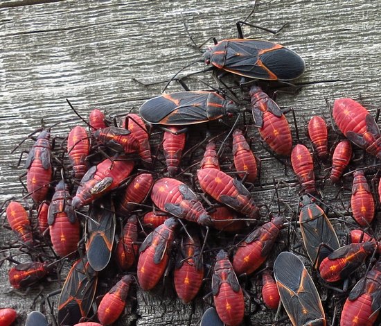
You can clearly see here they are in various stages of development.

This is the Kickapoo River. It is named for the Kickapoo Indians who occupied Wisconsin before the influx of white settlers in the early 19th century.
The Kickapoo River is the longest river completely within the driftless portion of the upper Midwest and has been suggested by some geologists to be the oldest river system in the world outside of Antarctica.
Known as "the crookedest river in the world," the Kickapoo is navigable its entire length from just north of Ontario to the Wisconsin River at Wauzeka. This popular river offers access at numerous road crossings. Rentals are available locally. The current is relaxing, but be prepared to make difficult portages around several dams and some dangerous log jams.
Source: © 1995-2014 All About Wisconsin,
The water looked mighty inviting but there was no obvious path through the nettles so I peddled on.

This area of Wisconsin is called the Hidden Valleys Country. These valleys and hills are in what is known as the Driftless Area.
The Driftless Area or Paleozoic Plateau is a region in the American Midwest noted mainly for its deeply carved river valleys. While primarily in southwestern Wisconsin, it includes areas of southeastern Minnesota, northeastern Iowa and extreme northwestern Illinois. The region includes elevations ranging from 603 to 1,719 feet (184 to 524 m) and covers an area of 16,203 square miles (42,000 km2). The region's peculiar terrain is the result of its having escaped glaciation in the last glacial period.
Source: WikiPedia
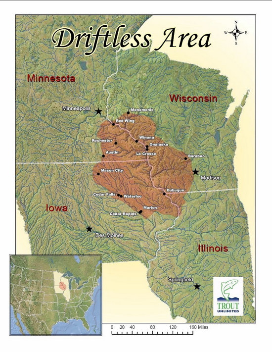
The Driftless Area encompasses the corners of southwestern Wisconsin, southeastern Minnesota, northeastern Iowa, and northwestern Illinois. This equates to an area the size of 24,000 square miles. This area was left untouched by the last glaciers, called the Wisconsinan glaciers, some 10,000 – 12,000 years ago. Glaciers leave behind deposits such as silt, clay, sand, gravel, and boulders which are called drift. Hence where the name, Driftless Area, comes from…no glaciers = no drift = Driftless.
Source: WikiPedia
As I rolled into Wilton I saw some snap worthy buildings.
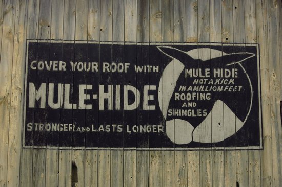
This can be seen from the trail as you roll into Wilton.
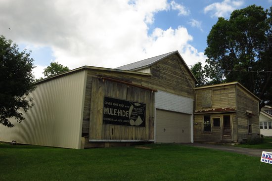
The company is still in business so I guess this advert could be vintage.
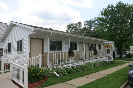
Once upon a time Betsy and I stayed at this little place called the Mid Trail Motel. It would be fine except the non stop truck traffic we had there last time is still there today. And it is now overpriced at $55/dbl.
The Mid-Trail is probably the smallest motel in the state; but what it lacks in size is made up in character. Jeff and Sandy McDonald bought the motel in 1994, and have since brought it back to its original luster.
The motel has only 4 units. It was originally built for this little town of only 470 people to make rooms available for family weddings, funerals, class reunions and the like.
Source: Mid-Trail Motel
Unfortunately this place is for sale. This often seems to be the kiss of death for small mom and pop motels like this one.
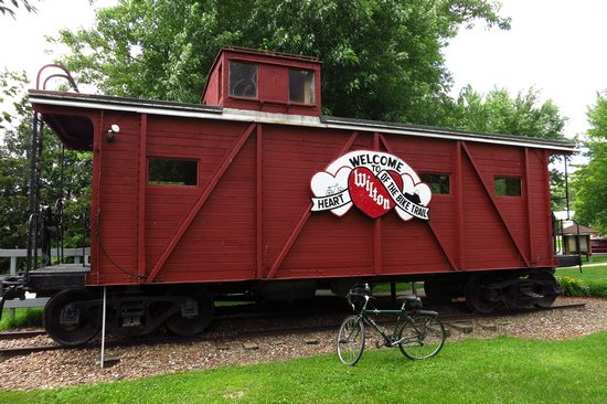
This restored rail car serves as an information station. There are rest rooms and water here as well.
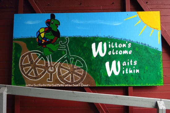
Seems all these little towns have some sorta gimmick to try to make them unique.
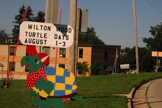
Wilton Wooden Turtle Days. A Turtally Awesome Experience!
I could find nothing on their website which explained why a wooden turtle represented this festival.
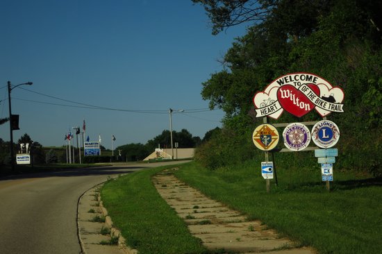
Nicely done welcome sign. I wonder what these tiny towns would have if it were not for the world famous Elroy to Sparta Rail Trail?
After my whirlwind tour of Wilton I continued on my way north to tunnel number 2.
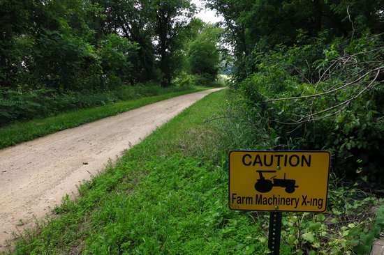
Here is another sign I have never seen on a rail trail before. It is needed! As I approached the road crossing a monster tractor flew across the trail bringing with it a cloud of dust.
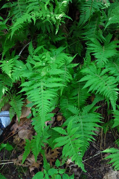
Here is a fern I seldom see unless I am up in the north country. It is Long Beech Fern (Phegopteris connectilis). We have a similar species in West Virginia which is quite common. It is called the Broad Beech Fern (Phegopteris hexagonoptera).
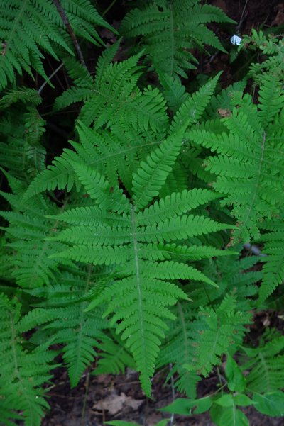
My photos are not that great. There are much better ones here.
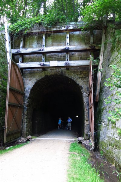
Here we are at Tunnel 2. It is 2 miles from Wilton and 4 miles from Norwalk. It is 1,694 feet long and was completed in 1873 after one and a half years of digging. It cost $75,557 or $44 per foot. A rock liner was completed in 1878 to help drain the water.
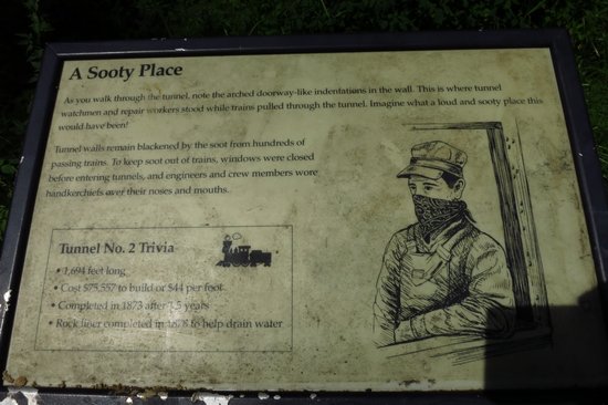
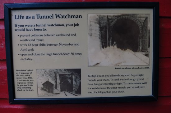
Click on the photo to read the sign. I can't imagine doing this job let alone doing it during the frigid Wisconsin winters.
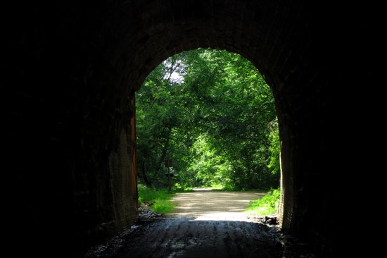
Even though I was hot and sweaty going in, by the time I left the chilly, damp tunnel I was ready to get warmed up again.
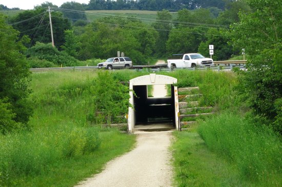
This underpass makes it much safer for crossers, especially on busy weekends like this one.
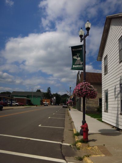
Here we are in Norwalk. This is the last town before we get to Tunnel number 3 at the summit.
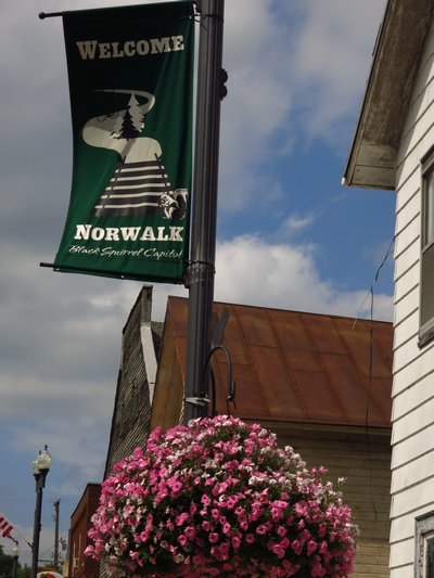
Wilton has its wooden turtles and Norwalk has its black squirrels.
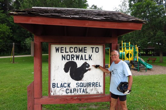
Just like Wilton had no explanation for its wooden turtles, the Norwalk web site has no explanation as to its claim of being a Black Squirrel capital and no mention at all about Black squirrels.
The black squirrel is a melanistic subgroup of the eastern gray squirrel. They are common in the Midwestern United States, Ontario, Quebec, parts of the Northeastern United States and Britain. As a melanistic variety of the eastern grey squirrel, individual black squirrels can exist wherever grey squirrels live.
Source: WikiPedia
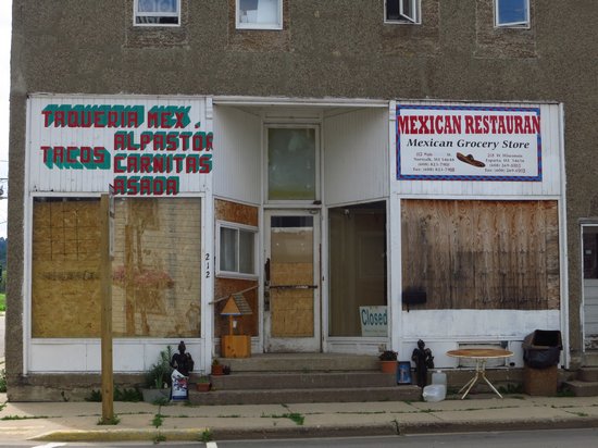
In 2000 this place was called Maria's Café. We had a great Mexican breakfast there and there was a big bowl of salsa verde on the table which we piled on everything. Delish. As you can see the place has changed hands and is now closed.
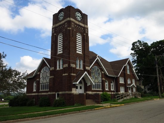
Norwalk has three churches, a testament to its once upon a time prosperity.
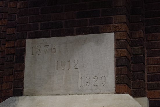
I have seen multiple dates likes this on more than one church. What is the meaning of each date? Burned and rebuilt? Three times? Seems unlikely.
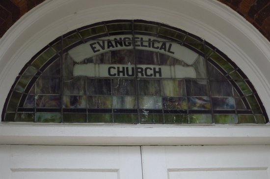
This is the stained glass over the door. No denomination is noted and the church is now closed.
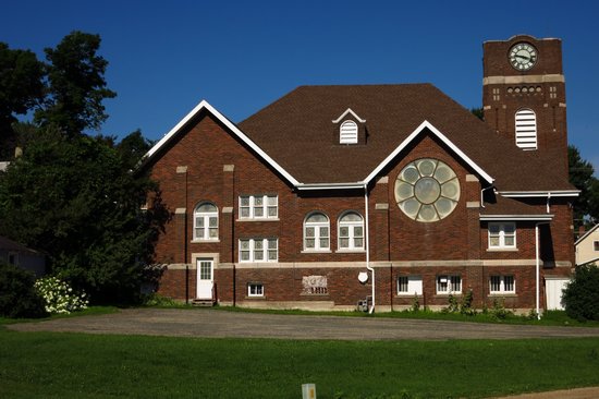
The backside. That stained glass rosetta must be a sight to see from inside the church.
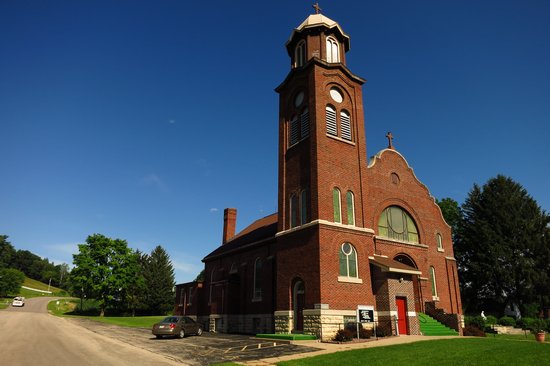
Church number 2. St. Augustine of Hippo Catholic Church. This cornerstone had the date 1916 chiseled into it. I took no photo of church number 3. Its architectural style was more contemporary and I found it uninteresting.
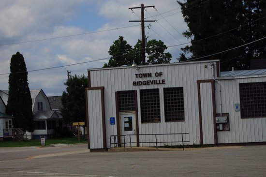
When I saw this I did a double take. I knew I was in the Village of Norwalk, not "Ridgeville". Once again WikiPedia comes to the rescue.
In Wisconsin, a town is an unincorporated jurisdiction within a county; Wisconsin towns are similar to civil townships in other states.
In Wisconsin, a village is an autonomous incorporated area within one or more counties. It provides various services to its residents and has a degree of home rule and taxing jurisdiction over them. As of 2009, Wisconsin had 403 villages.
Source: WikiPedia
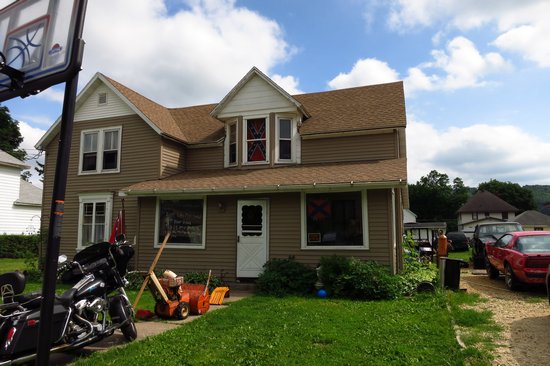
Ah, great - no less than 3 Confederate flags on display at this Norwalk residence.
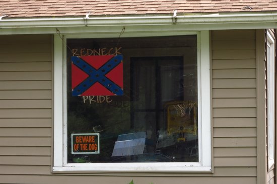
I was beginning to feel right at home in the Village of Norwalk. Could these folks be transplanted Mingo countians from southern West Virginia?
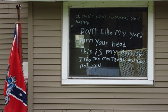
I guess some of the neighbors did not like the curb appeal of a redneck hovel on their block.
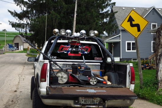
What a manly truck! There was tire rubber all over the street so I am sure this good old boy liked to let the neighbors know he was coming or going. Sorta reminds me of some of our neighbors.
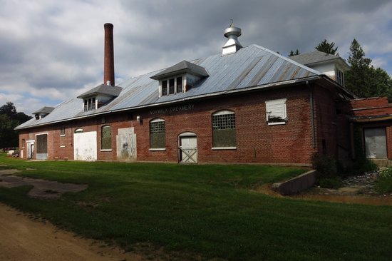
This is the old Norwalk Creamery. It is directly adjacent to the trail which of course used to be the rail line.
The Norwalk Creamery, located at 129 Mill Street, was completed on September 2, 1902. The creamery operated from 1903 until 1992. The creamery once operated as a Co-op and merged with Swiss Valley Farms until 1992 (A Journey Through Norwalk 1994). A fire within the building left little except the building’s façade intact ( A Journey Through Norwalk 1994). Currently, the creamery is privately owned. The creamery once played a large role in the economic vitality of the Village.
Source: Strategic Action Plan for the Village of Norwalk, Wisconsin
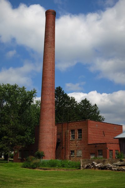
This looked like it was connected to the creamery. I could not help but wonder what a creamery would need with a smoke stack that size.
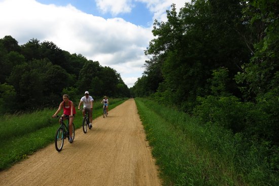
Just outside of the town of Norwalk the 4 mile grade to the summit tunnel begins.
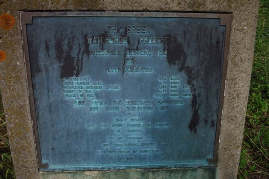
On the way to the tunnel is this plaque marking the "Tri-Creek Watershed Project" which is a flood control project.
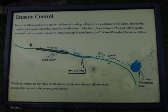
This sign is near the summit tunnel. The tunnel is under a deep valley which caused flooding to occur in the tunnel as the water flowed through the valley. The water was diverted using a massive quarter mile long stone flume which then shunted the water into Moore Creek and then onto the Tri-Creek impoundment.
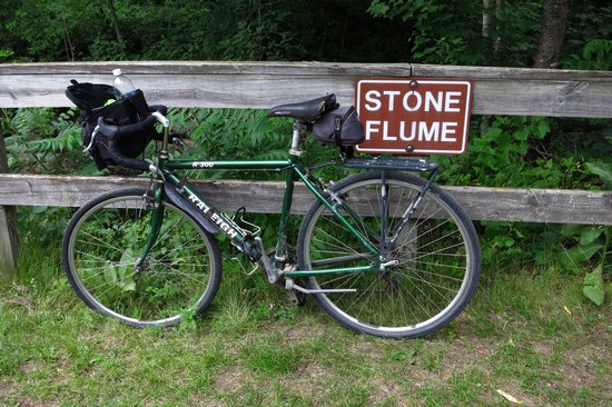
I was there!
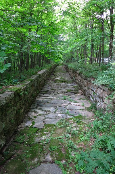
This snap does not convey the size of this flume very well. The side walls are about 8 feet high and the width of the flume is about 12 feet wide.
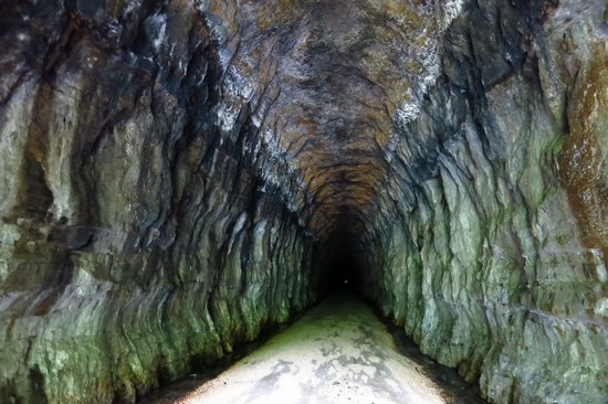
Here we are just inside of tunnel No 3 - the summit tunnel. The exit is visible as a tiny dot in the center of the photo. The tunnel surface was built sloped, not flat so it is a steady 3/4 mile climb to the end.
Tunnel No. 3 is 3 miles from Norwalk and 8 miles from Sparta. It is 3,810 feet long and was completed in 1873 after three years of digging. It cost $247,272 to build or $65 per foot which was much more expensive than the other two tunnels. This tunnel was so long that workers dug two long, deep shafts from above to help remove rock, in addition to digging from both ends. These shafts were later sealed with bricks. Workers struck an overhead spring which kept the tunnel wet and difficult to excavate. Today the ceilings and wall still drip with water and provide cool relief on a hot day.
Heavy rainfalls caused serious erosion problems in the deep valley above the entrance of this tunnel. To solve this problem, railroad crews built this massive stone diversion ditch called a flume between 1907 and 1909. This flume extends up the valley for about one-quarter of a mile and still serves as an important soil and water conservation device. Now, the contained water causes less erosion as it flows through Moore Creek to the Tri-Creek Watershed flood control dam.
Source: elroy-sparta-trail.com
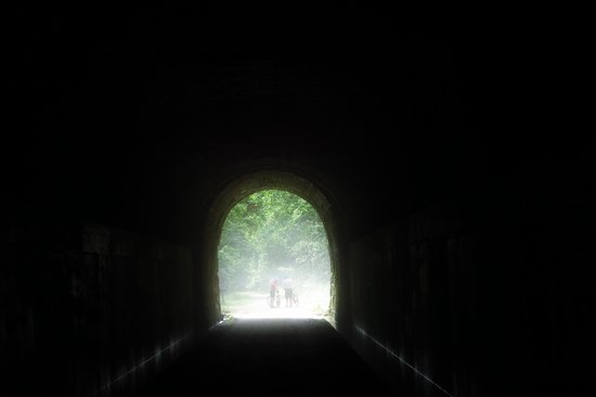
When the cool, moist air exits the tunnel it creates a fog when it hits the warm outside air.
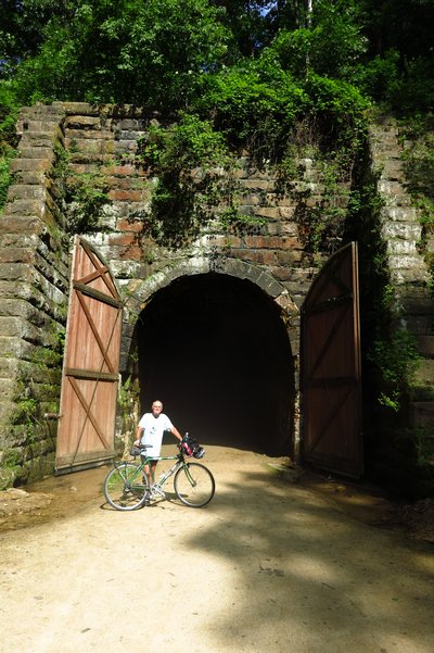
This was taken on the west side of the tunnel. It is hard to believe somewhere up on top of the tunnel is a deep valley.
This, the west side of Tunnel No 3 was my turn around point. I hung out for a bit watching people come and go and then started back through to the other side.
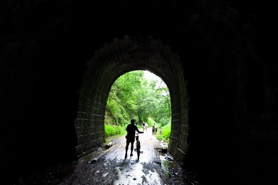
When I got to the east side of the tunnel there was still a steady flow of people exiting and entering the tunnel.
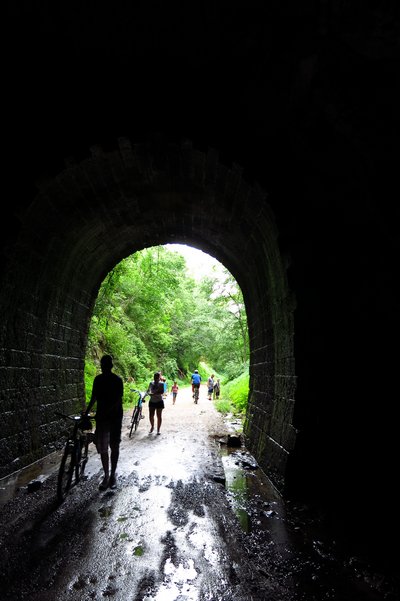
Here comes two more on their way through. I hope they know they will get a steady shower of icy water all the way through.
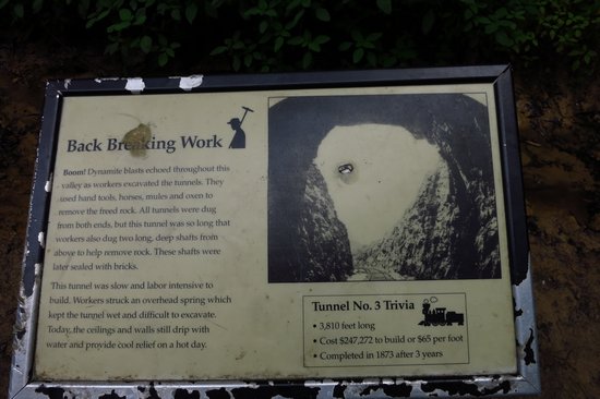
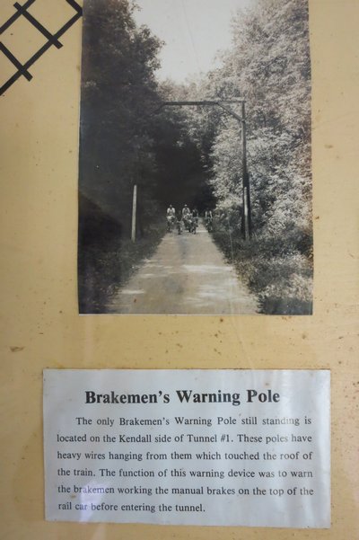
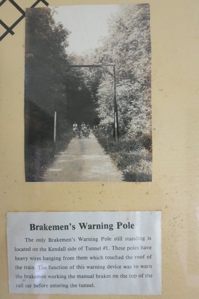
The trail has quite a few informational signs which are interesting to read. Click on them to get the bigger image.
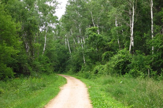
I headed back down the trail and took one final shot of these Trembling Aspens (Populus tremuloides) which are one of my favorite Northwoods trees.
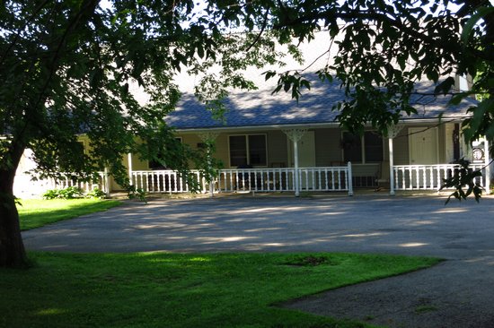
A few hours and 18 miles later I got back to the Sugar Maple Inn. All was quiet and I had the whole place to myself that night. The next day I would head north through Sparta and continue on from there.
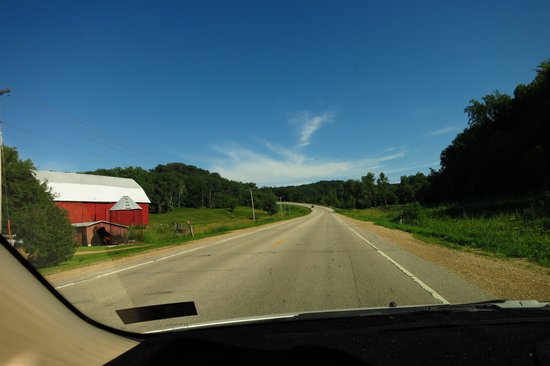
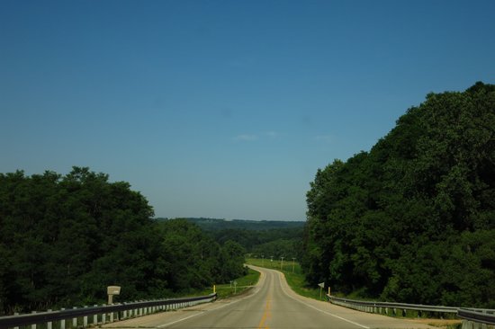
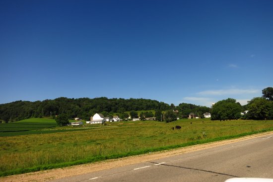
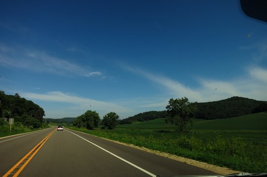
The road to Sparta was just as pretty as the road to Elroy - lots of open country with lots of farms as these fuzzy shots through the window show.
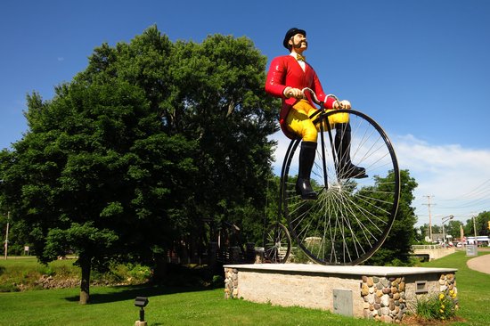
Here we are in Sparta - home of world famous "Ben Bikin'".
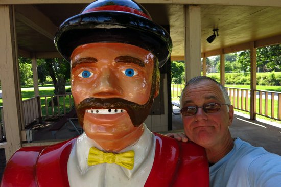
Ben and I share a special moment.
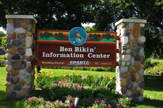
There is a nice little park here at the end/beginning of the trail.
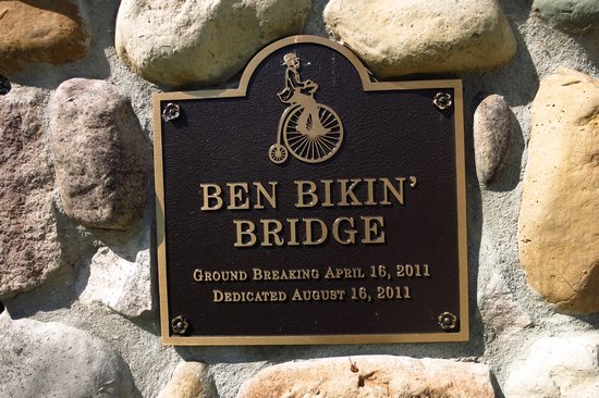
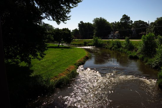
The bridge spans the La Crosse River.
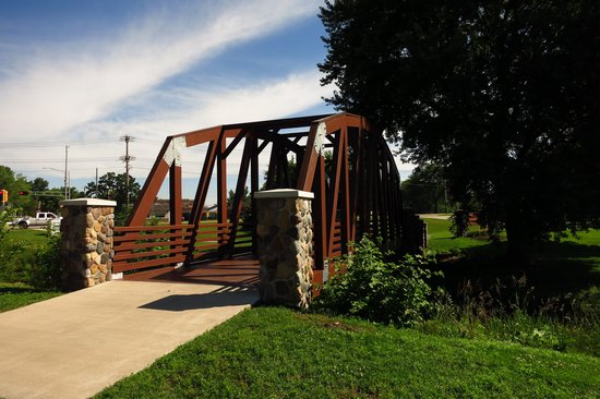
With this final shot I was off down the road and my trip along the Elroy to Sparta Trail came to a close.
'Till next time...