Mike Breiding's Epic Road Trips ~2017~
A Quick Trip to the Rocky Mountain Region
10 Days in Wyoming, Utah and Colorado
Visits to: Knerr Ranchette, Snowy Mountains, DinoLand, Flaming Gorge, the Gunnison Country
Wyoming
Sunday - August the 6th
Visiting the Laramie Knerrs and County Fair Fun
Greetings from the Turtle Rock Cafe in Laramie Wyoming. This morning Betsy and I said "Seeya Later" to the Knerrs and headed into town for some breakfast and WiFi. Today's plan: after breakfast and Trogging we will head up into the Snowy Mountains for 2 nights in a cabin next to a lake. Scott, Jen and the kids will be coming up for a cook out and some fishing and at that time we will say our final farewells.
But, for now, let's back up and recount getting to Laramie and events over the past few days.
Our non stop flight from Pittsburgh arrived on time at Noon - Mountain time. Getting to the luggage pick up was no problem and our luggage was there in short order.
Now we had to get from the Denver Airport to the off site car rental. I found renting off site would save us about $200.00!
Being new owners of smart phones we could now use a ride service like Uber. Even at $35.00 each way we would still save a chunk of change by renting off site.
We got our luggage, went outside, made note of the door number and then logged on to Uber. We plugged in the "to" and "from" locations. We were shocked to find out there was a 3 hour wait for a car! Surely this can't be right. Betsy tried on her phone. Same results.
There was no way we were going to sit around the luggage area for three hours so we set off in search of an alternative. We could not locate anything but we did spot a gentleman sitting by one of the doors at a portable desk which had a sign saying "Airport Info". We explained our predicament and he could not find any particular way to help us but suggested we go to the transit desk and ask there. He took us across a patio causeway and down one level and then around to the Transit desk. He stood by as we explained where we needed to go to the lady at the computer. After a quick check she told us what busses we would need and the next departure from the airport.
After making sure we were clear on the route we bought our tickets. These turned out to be day passes. Mine was $9.00 and Betsy being a Senior Citizen was half price.
We said thanks and fair well to the help InfoGent and he wished us smooth sailing. With that we exited the airport, found the correct gate and then began the 1:20 minute wait for the "AA" bus. This would take us to Grant and 104th where we would disembark and then catch the 12 bus to our destination. Pretty simple.
The AA arrived, we stowed our luggage and then boarded. We told the driver where we needed to go and asked if Grant was the correct stop for the 12 bus. He said "you don't need to know that, you just need to sit down". I asked again and he said: " You just need to take a seat". So we put our faith in this rude and cranky Dead Head reject and sat down for the ride.
At some point I realized we might have an option for confirming our route. So, I whipped out my phone, fired up Google Maps, plugged in our destinations and chose the "Bus" option. It plotted our route and we could see a little dot on the map representing the bus and we could now track our progress.
Eventually we got to Grant Street, our transfer point as told to us by the lady at the airport. We got up and headed for the door and the drive brusquely said: "Sit down. This is not your stop." Hmmm... What to do? Well, he is the driver right? He should know, right? So we sat down and eventually ended up to the west at a park and ride/slash bus terminal.
We queried the drive about catching the number 12 bus and he said: "Just go on the other side and you can't miss it." We followed his rudely pointing finger and found the correct gate for the 12 bus. At that point a fellow rider approached us and mentioned how rude he thought the driver was. He told us he had run into him before and was not happy with him. No shit...
After about a 45 minute wait the number 12 arrived. But, we were not going anywhere yet. It was time for the driver's break. Eventually we got under way. As we drove I tracked us on our smart phone and watched as we needlessly back tracked to our originally stated transfer point and went right buy it. This needless back tracking cost us at least 40 minutes of extra travel time.
Now it was the loooong trip south to the car rental place. I squirmed in my seat as I saw each street pass oh so slowly until finally we reached our destination. Ugh.
The gist of all this: It took us 2 hours to get just 26 miles!
We got to the rental counter and finally someone showed up. We told him about the 2 hour trip over and the projected 3 hour car wait for Uber. He was stunned. He said that from the rental location it usually took just a few minutes to get a car. We can only hope he was right. We will be calling for a car next Monday when we return the vehicle. We shall see...

The blue line is our torturously long bus ride from the airport to the car rental place. The "1 hour" estimate was for 7:00 am this morning, a Sunday.
We got ourselves onto I-25 north and immediately hit heavy, slow traffic. Finally, just north of Fort Collins the traffic thinned out. This was about 20 miles south of the Wellington exit where we would get some gas, beer, ice and munchies.
That accomplished we got back on the interstate for about 7 more miles and exited at Owl Canyon Road. Scott had suggested this route to their place for its light traffic and good scenery. It was the right choice to be sure.
We pulled into the Knerr driveway about 5:00, much, much later than we had anticipated.
Jen and the kids were at the Albany county fair but Scott was there and got us settled in. Their house has beautiful, expansive views from every window and there is a nice deck in back which runs the length of the house. Very nice.
When Jen and the kids got back we had dinner. Scott fixed a salad, baked potatoes and served that along with grilled elk and antelope. Delish! It was reminiscent of the dinner Betsy's cousin had fixed us when we visited him in Bozeman Montana. That would be cousin Ryan, the Brewer.
We spent the evening catching up and then it was off to bed.
The next morning (Saturday the 5th) I was up at 5:30ish. I fixed some coffee and sat out front to watch the sky brighten. I spotted someone walking down the road and it turned out to be Scott taking the dogs for a walk. We chatted for a bit then went inside. I fixed more coffee and moved to the back deck. Scott brought out some lawn chairs and Betsy and I sat there enjoying our coffee and the quietude.
Not long after that Jen and the Kids were up and the was a flurry of activity. Today was going to be a busy, busy day for all of the Knerrs since it was sale day at the County Fair.
Jen somehow found the time to fix us all breakfast burritos which included goose eggs and bacon from one of their own hogs. Most excellent, dude!
Soon Jen and the kids were off to the fair. Scott stayed back for bit to take care of some household chores and then followed suit.
Betsy and I were to meet all of them later for a look around the fair and to attend some of the sale auction.
In the meantime Betsy and I took a walk about on the 35 acres they call home. Here are a few pics.
Click on the photos below for a larger image.
Behind the house is a hill with a low bluff covered in Mountain Mahogany.
Cercocarpus, commonly known as mountain mahogany, is a small genus of five or six species of nitrogen-fixing flowering plants in the rose family, Rosaceae. They are native to the western United States and northern Mexico, where they grow in chaparral and semidesert habitats and climates, often at high altitudes. Several are found in the California chaparral and woodlands ecoregion.
Source: WikiPedia
Note the mention above of "high altitudes". The elevation here is at 7500 hundred feet! I think that is why I was huffin' and puffin' as Betsy and I climbed up to the top of the bluff.
The plant pictured above with the yellow flowers is the ubiquitous rabbitbrush (Ericameria nauseosa)which grows all over the arid west.
This is a shot of the backside of the bluff. Here the vegetation was lusher with more grass and also a nice stand of yucca.
This is the Great Plains yucca (Yucca glauca).
Yucca glauca (syn. Yucca angustifolia) is a species of perennial evergreen plant, adapted to xeric (dry)growth conditions. It is also known as small soapweed, soapweed yucca, Spanish bayonet, Great Plains yucca and beargrass.
Yucca glauca forms colonies of rosettes. Leaves are long and narrow, up to 60 cm long bur rarely more than 12 mm across. Inflorescence is up to 100 cm tall, sometimes branched sometimes not. Flowers are pendent (drooping, hanging downward), white to very pale green. Fruit is a dry capsule with shiny black seeds.
Source: WikiPedia
You can see a nice shot of the yucca flowers here.
On the right are the Knerr horses. Also seen here is the rail road track. These could be seen from the house. In the opposite direction were two more lines. There was regular traffic on all three. Fortunately there are no crossings near the house and the trains travelled at low speed and so there was not much noise from them.
Scott had mentioned we should keep an eye out for badgers and we would almost certainly see a den entrance. We saw no badgers but did see this den opening.
And, a few minutes later I found this partial badger skull. I would have loved to have kept it but instead I placed it in the care of the Knerrs.
Shown here is a Mountain mahogany seed. The Latin name refers to this "tailed fruit."
After our walk Betsy and I drove into the fair grounds to meet everyone. We took a look around the place with Scott and Claire who showed us their pigs and goats which would be in the sale. Later we took a look at Claire's other entries - her photos and art work.
Then at noon the sale started. By the time things got underway the pavilion was packed and then the auctioneer got to work. It was quite the show. I had not been to an auction since the early 80s when I used to attend farm auctions. That was when some of my family members and myself were home steading in Pocahontas county West Virginia.
The bidding was at times brisk and at times slow and the auctioneer stayed busy working the crowd.
Betsy and I stayed until Liam's goat was sold and then we headed back to the ranch for a nap and a short walk.
It was a stormy afternoon with wave after wave of rain showers, hail and lots of thunder and some distant lightning.
One of the storms brought lots of hail as can be seen here in the driveway area of the house.
This was a typical view of the distant storms that rolled in one by one. It was fun to watch and there was a lot of "sky drama" to be seen.
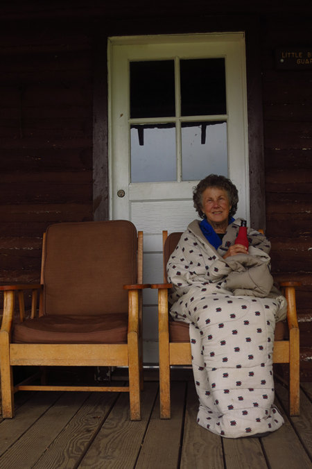
When all returned from the fair to unload and clean up, we then headed back to town for dinner at "The Library" an appropriate choice. After a leisurely dinner it was back to the house. I crashed at 8:00 and Betsy stayed up. I did not awaken when she came to bed and then was back up at 5:30 followed by Betsy at 6:00. We had our coffee on the deck again - a bit cooler this morning and we wrapped up in blankets to take the chill off.
Then around 8:00 it was off to Laramie and above mentioned breakfast at the Turtle Rock Cafe. Soon we will be on our way up to the Snowy Mountains. We will be off the WiFi grid for a few days so we will have to catch up later.
Sunday, August 6th
Our First Day at Little Brooklyn Lake Guard Cabin
We departed the Turtle Rock Cafe around 11:00 and made our way over to the Ridley's Super Market to provision ourselves for our two day stay at the cabin.
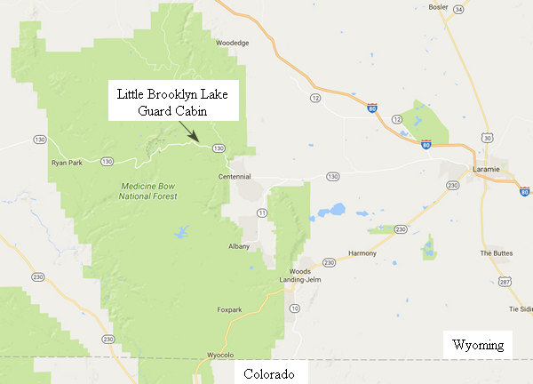
Only an hours drive from Laramie, the Little Brooklyn Lake Guard Cabin seems worlds away.
Just a few miles west of Laramie is this roadside marker which marks the route of the Overland Trail.
In 1857, the United States Post Office Department extended bids for mail service along what became known as the "southern route" from Memphis, Tennessee, to San Francisco, California, through New Mexico and Arizona. The contract was given to the Butterfield Overland Mail Company and service ran until the Civil War started in 1861. Wells Fargo was the primary lender to the company and took control when it suffered financial difficulties in 1859. After the southern route was disbanded, the Overland Mail Company moved its operations to the central line between Salt Lake City and Sacramento.
The Overland Trail (also known as the Overland Stage Line) was a stagecoach and wagon trail in the American West during the 19th century. While portions of the route had been used by explorers and trappers since the 1820s, the Overland Trail was most heavily used in the 1860s as an alternative route to the Oregon, California, and Mormon trails through central Wyoming.
The Overland Trail was famously used by the Overland Stage Company owned by Ben Holladay to run mail and passengers to Salt Lake City, Utah, via stagecoaches in the early 1860s. Starting from Atchison, Kansas, the trail descended into Colorado before looping back up to southern Wyoming and rejoining the Oregon Trail at Fort Bridger. The stage line operated until 1869 when the completion of the First Transcontinental Railroad eliminated the need for mail service via Thais' stagecoach. Mostly used during the gold rush of 1848.
Source: WikiPedia
The route that later became the Overland Trail was followed in 1825 by William Ashley and members of the Rocky Mountain Fur Company, who entered the Laramie Valley from the south, forded the Medicine Bow River near Elk Mountain, and crossed the divide at Bridger's Pass. In 1843, an exploration party led by Captain John C. Fremont followed Ashely's path and determined it could be used for westward emigration. The portion of the route known as the Chreokee Trail was defined in 1849 when a group of Cherokee Indians bound for the California gold fields crossed southern Wyoming on their way west.
The route did not see heavy use until 1862, when Ben Holladay, who had recently acquired a contract to carry the U. S. mail, relocated the course of his Overland Stage Company to the south to avoid Indian attacks occurring along the Oregan Trail in central Wyoming. For several years, Holladay's Concord stages, heavily loaded with U. S. mail, carried passengers and other cargo along the Overland Trail through southern Wyoming.
From 1862 to 1868, the trail was the principal transportation corridor for thousands of emigrants moving west. Increased emigration led to classes with Indians. Additional military forts, such as Fort Sanders and Fort Steele, were constructed to provide protection.
When construction began on the Transcontinental Railroad, Holladay realized demand for stagecoach travel would soon diminish. In 1866, he sold out to the Wells Fargo Stagecoach Line, which carried passengers and mail along the trail for another two and a half years. With the completion of the Transcontinental Railroad in 1869, Wells Fargo terminated its service along the route. Although railroad travel made the journey west quicker and easier than ever before, the Overland Trail continued to be used by emigrants until the turn of the century.
The drive from Laramie to Centennial is mostly flat, open agricultural land. But from Centennial on it is a different story.
Early Plains Indians passed through what is now Centennial Valley looking for wood to make teepee poles and bows. They were followed by tie-hacks, miners, and ranchers. Congress passed two acts in 1862 which had strong impacts on the valley. One was the Pacific Railways Act that led to the construction of the transcontinental railroad; the other was the Homestead Act.
A railroad tie camp was established in the mountains near Centennial Valley in 1868, but the workers were driven off by an Indian raid in 1869. The following year, the first homestead was staked out in the valley. During the next decade, most of the land was claimed by homesteaders.
Source: www.CentennialLibrary.net/
By the time we got to the road to the cabin we had climbed about 2000' feet. The Cabin and lake sit at just about 10,000'. We were delighted to see wildflowers in bloom everywhere we looked.
Here Betsy admires a nice stand of Lupine. All along and in the road ditches were Ladies Tresses Orchids.
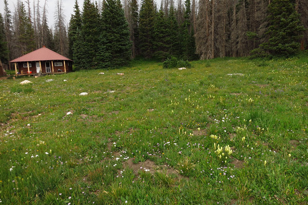
Our first look at the cabin.
Note the snow. This is August. They don't call these the Snowy Mountains for nothing!
Little Brooklyn Guard Station is located nine miles west of Centennial, Wyoming just off the Snowy Range Scenic Byway at an elevation of 10,340 feet. The guard station was constructed in 1931 as housing for Forest Service employees.
Source: www.recreation.gov
The above information about the cabin is all I was able to find on the web. I could find no information as to the origin of its name or what exactly the Forest Service employees were there to "guard". If you come across anything, let me know.
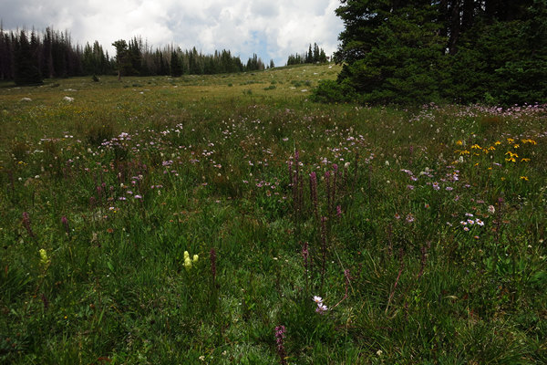
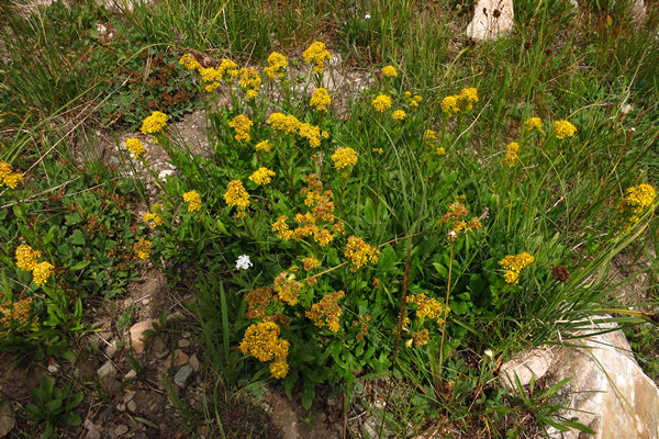
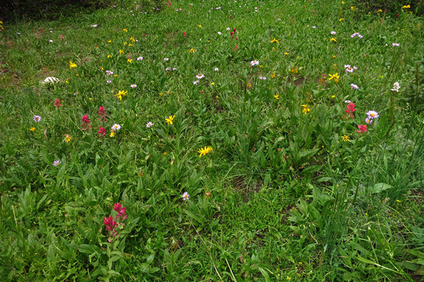
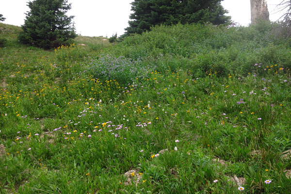
The meadow in front of the cabin was full of wildflowers, none of which I was familiar with. But I am sure this is some species of Aster.
We set about unloading our stuff from the car. Scott and Jen had loaned us bedding and a cooler. The cabin has no elctricity, only propane gas and there is no gas fridge.
The cabin measures 28x22-ft. and has three rooms. It can accommodate up to seven people with two sets of bunk beds, one single bed and a double sofa bed. The cabin is heated by a wood stove and equipped with propane lights, propane cook stove, cookware and utensils for eating and cooking. The Forest Service supplies the propane and firewood. If thereâÂÂs a problem, report it to the Forest Service.
Drinking water is available during the summer months from a pump located outside the cabin. No running water is available inside the cabin. Water from the pump may freeze during the winter months, so guests must bring their own supply of water or melt snow for drinking, cooking and cleaning during this time. A vault toilet, grill and picnic table are located outside the cabin.
Source: www.recreation.gov
After getting settled in, we decided to take a walk over by the lake and see what we could see.
What we did see were many, many more wild flowers. These poor shots do not do them justice and I was fighting the overcast weather which made the lighting tricky.
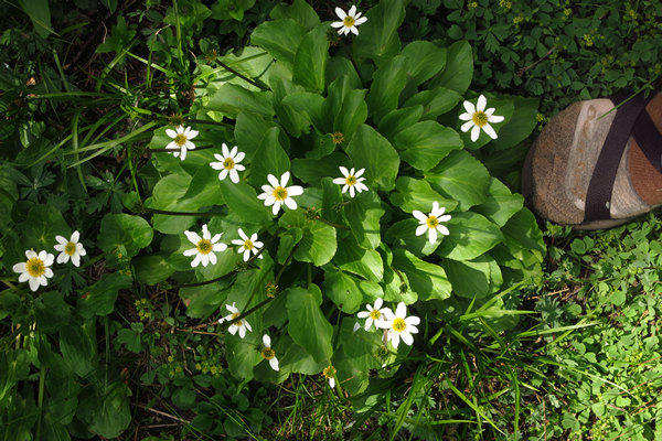
I know I have seen this little cutie before but I just could not remember its name.
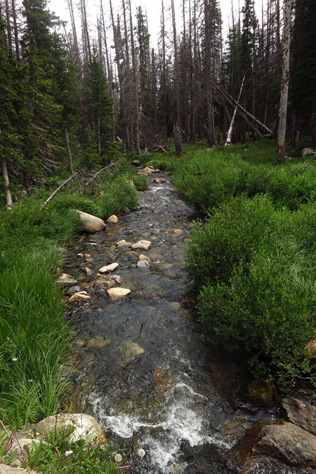
This is the outflow of the Nash Fork of the Little Laramie River as it leaves Little Brooklyn Lake.
It seemed like with every step we took we saw another wildflower we had not seen before.
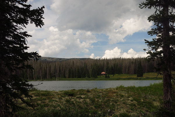
As we rounded the south side of the lake we got a nice view of the Cabin.
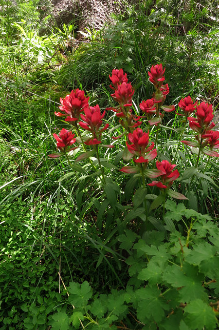
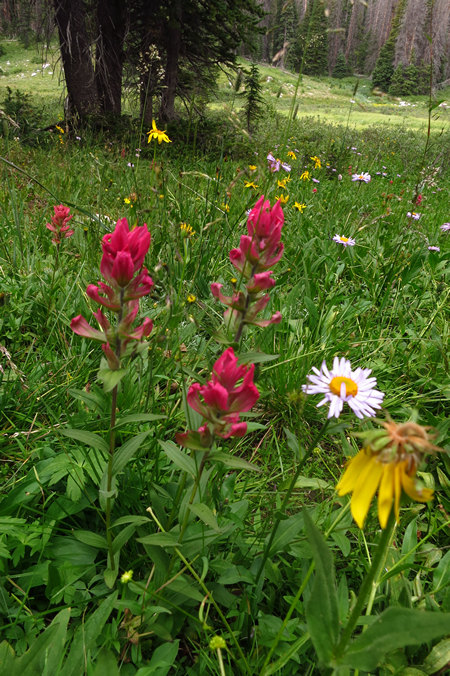
Indian Paintbrush! This plant seems to grow everywhere in the west.
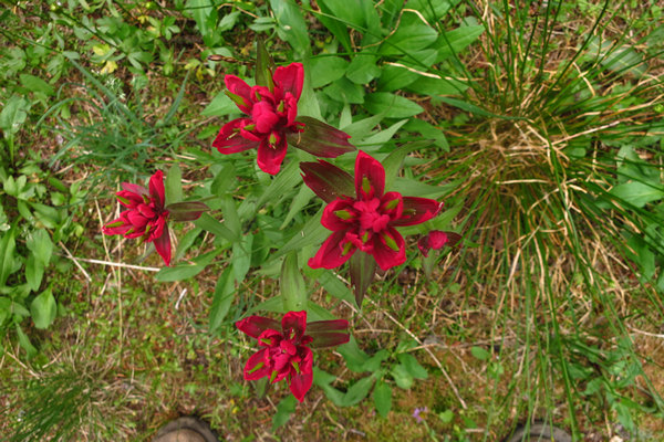
A top down look at the Indian Paintbrush. Obviously I am having trouble with my focusing today.
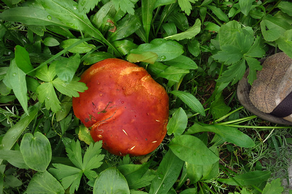
A Russula mushroom perhaps? We saw several different species on our walk.
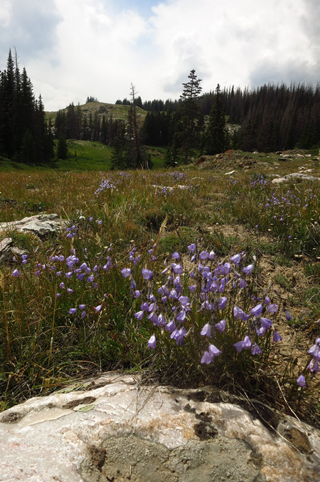
I think these are Harebell (Campanula rotundifolia).
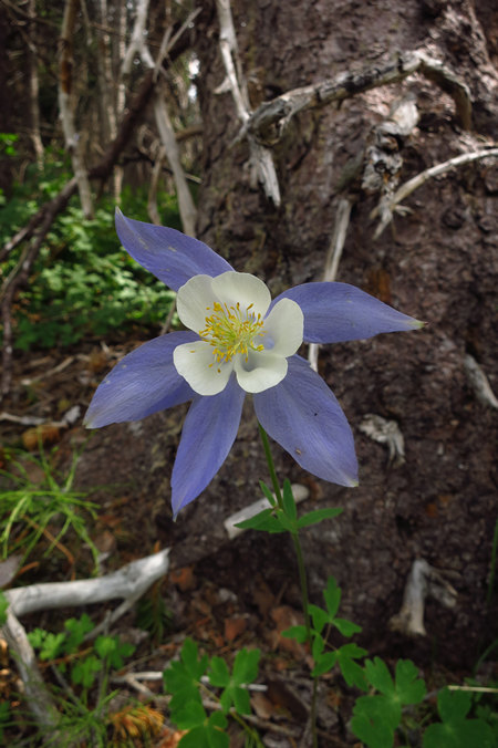
What a beauty! This is the Rocky Mountian Columbine (Aquilegia coerulea).
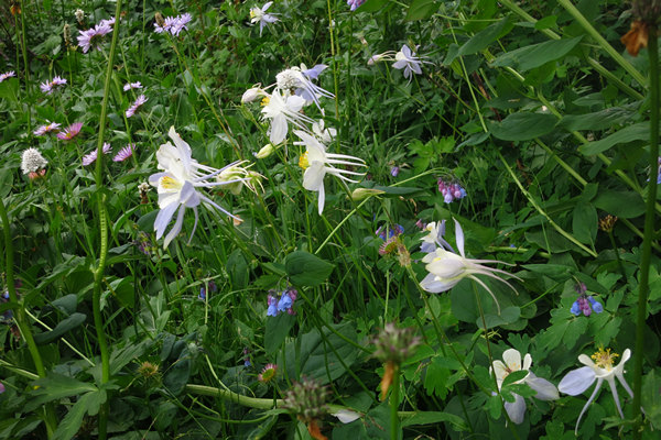
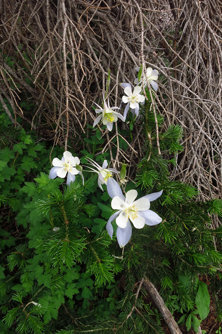
These columbine were growing trailside next to the lake.
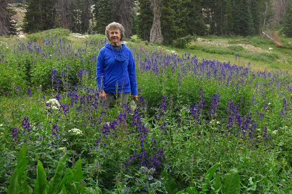
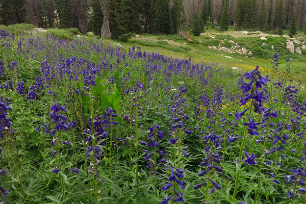
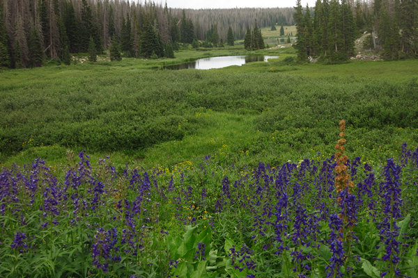
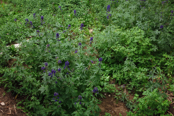
This is a gorgeous stand of Larkspur. The species we have in West Virginia seldom gets over a foot tall. These were up to four feet.
A closer look at the Larkspur (Delphinium barbeyi).
Another look at Delphinium barbeyi.
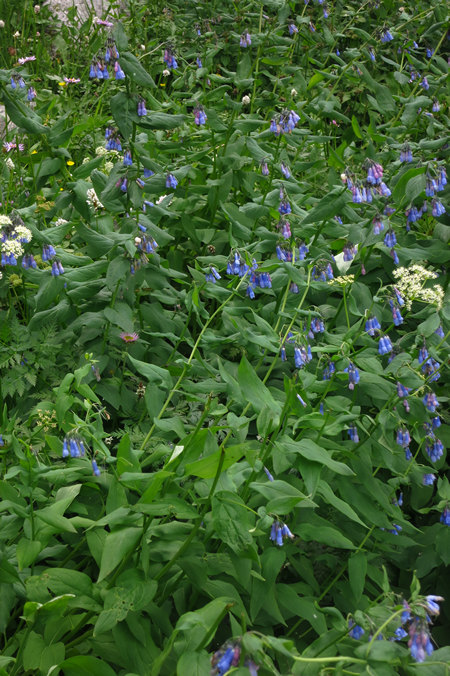
This was a surprise. Bluebells! In August! Our species blooms in April and May, not August. Spring comes late at 10,000'.
What this is I have no idea.
Again, what this is I have no idea.
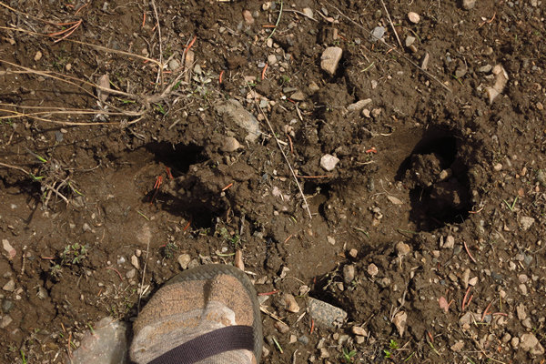
Elk track! And it was not long after this two large bull elk ran across the meadow in front of us and then were quickly out of view. They both had big racks.
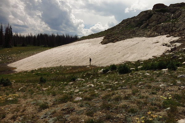
Soon this snow from last season will be covered with new snow. As spring comes late, winter comes early.
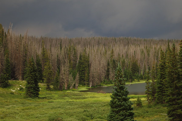
The dark skies were to be with us for most of our time up here in the Snowy Range of the Medicine Bow Mountains.
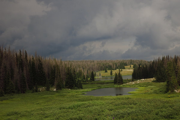
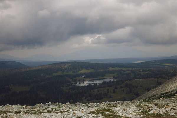
Here we see the effect of a decade long infestaion of the Mountain Pine Beetle. There have been millions of trees killed and it gives the forest a rather depressing grey cast. There is a dated article here that gives a good overview of the damage done by the beetles and what it holds for the future of the forest.
As we made our way back to the cabin we saw still more wildflowers.
An interesting "yard". Low maintainence.
These Larkspurs were right next to the cabin.
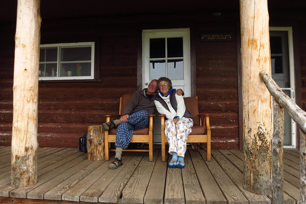
Our Happy Hour station from the porch at Little Brooklyn cabin.
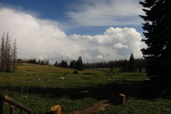
Our view from the porch.
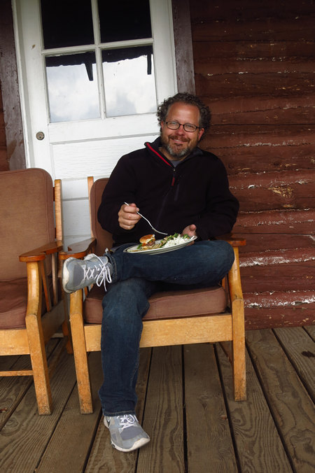
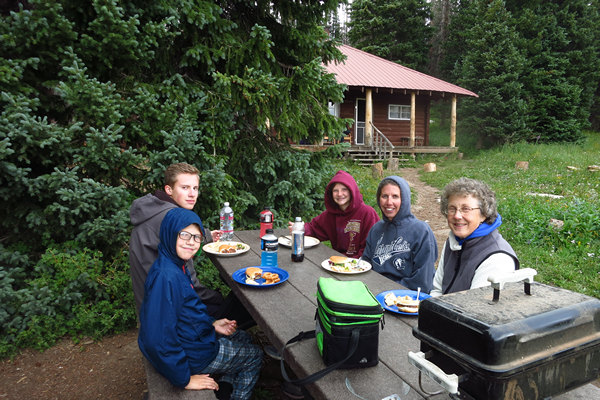
That eveing Scott, Jen and the kids came up and fixed us elk burgers on the grill.
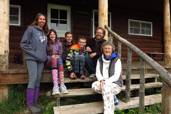
As you can see by all the hoodies it was a bit chilly.
Luckily I remembered to get a group shot before the Knerr Clan were on their way down the mountain.
Scott snapped this final shot of the day.
Soon we were snuggled into our sleeping bags. We would need our rest for tomorrow we would take a hike like no other.
Monday, August 7th
Hiking to Medicine Bow Peak
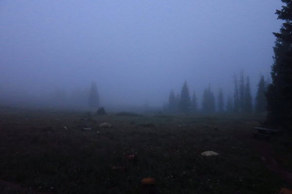
During our first night at the Little Brooklyn Lake Guard Cabin we stepped outside to take a pee. Imagine our surprise when we walked into a wall of white! The clouds/fog/mist were so thick the cabin was enveloped in them. Our rental car, parked just 15 feet away, was nowhere to be found.
As we stood on the porch we could feel the cool mist envelope our naked bodies as if we were in a cool shower. We quickly retreated back to the warmth of our sleeping bags wondering what the morning would bring.
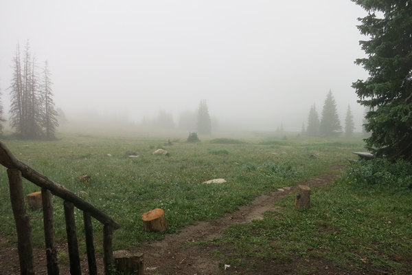
This is what morning brought us. Somewhere out there is the lake. Keep in mind this is after significant clearing compared to the night before.
We sat on the porch wrapped up in our blankets and enjoyed our coffee. As the day brightened the fog retreated and eventually we could see the lake again.
The clouds/fog/mist you see here would keep us company for most of the day.
After coffee and a breakfast of bacon and eggs we got our hiking gear together including gloves, warm hats and rain gear and headed out the door.
Our hike to Medicine Bow Peak would start at about 10,500 feet and we knew the chances for cool weather were good and were just hoping it would not be too wet.
We drove west on the Snowy Range Scenic Byway (RT 130) to the Lake Marie Trailhead a distance of about 7 miles.
Our hike to Medicine Bow Peak would start at about 10,500 feet and reach the summit about 3.5 miles later at just over 12,000 feet. Not only have Betsy and I never started a hike at this elevation, this would be the highest we have ever hiked.
In contrast, my birthday hike to the Mount Wrightson in the Santa Rita mountains started at about 5,000' and ended at about 9, 000'. So this hike to Medicine Bow Peak would be a new milestone of sorts.
When we arrived at the trailhead there were about 6 cars there. One of them included a family with two very noisy young children. As luck would have it they were taking the same trail as Betsy and I so we had the enjoyment of listening to them yell back and forth to each other as we were climbing the first section.
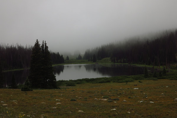
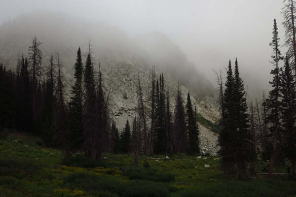
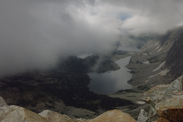
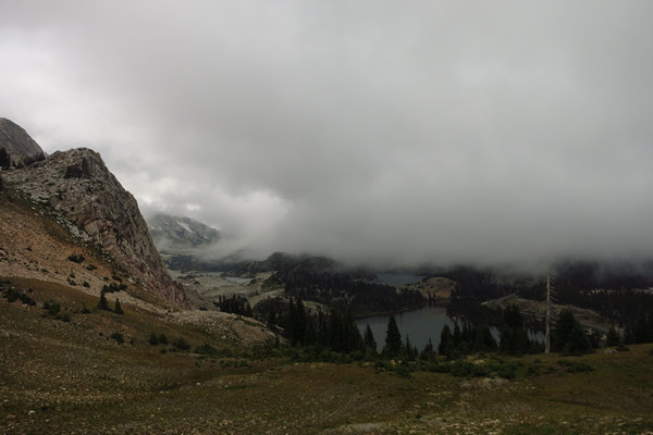
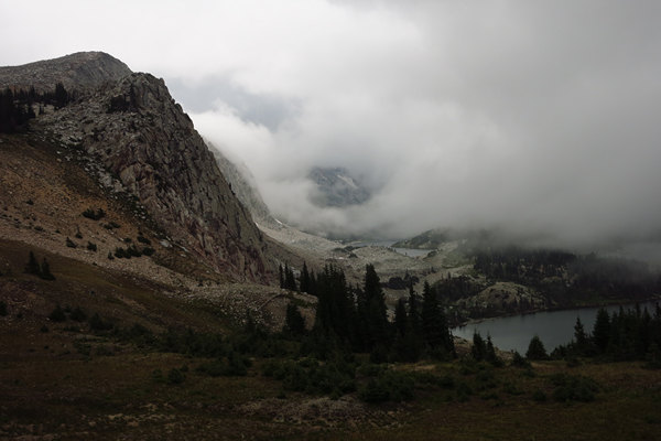
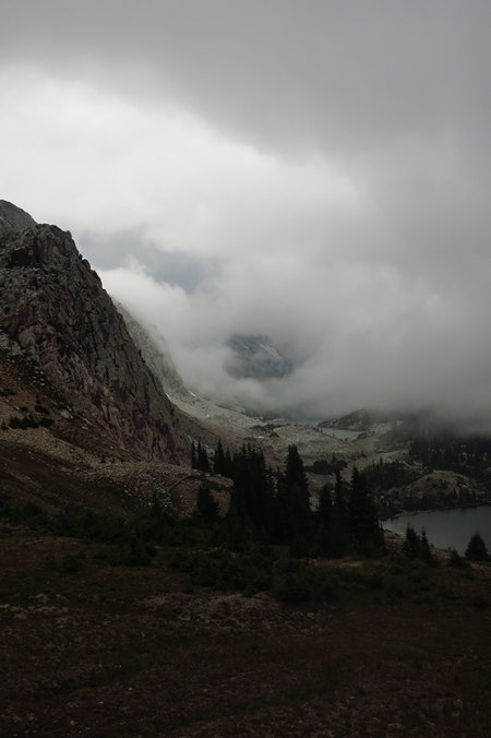
Here is a shot of the steep slope which rises sharply above Lake Marie. A bit obscured to say the least.
A cloudy Lake Marie.
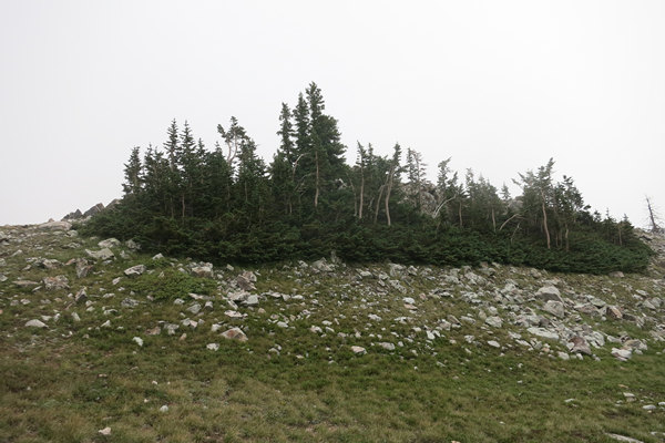
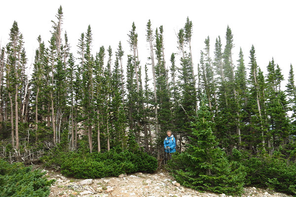
Today our hike would take us above tree line. As we climbed, the trees became smaller and more stunted. They reminded us of the ones we saw on our hike to Sacagawea Peak which is the highest peak in the Bridger Mountains of Montana. On that day we had Betsy's cousin Ryan as our guide. It was a fabulous hike!
Biomes on the trails leading to the peak include alpine meadows, sub-alpine meadows, and taiga. Stunted and twisted Krummholtz trees, many of which are Engelmann spruce, are common at or just above the tree line. The wildflowers along its access trails include Indian Paintbrush, blue columbine, gentian, and harebell. The peak is located in a Special Botanical Area
Source: WikiPedia
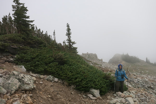
Note the long bottom branches which are protected from the winds and are first to be covered with snow in the winter.
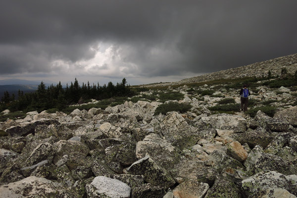
Although the hike started with a landscape of green, this changed quickly as we gained elevation. We would now be spending the rest of the day in a rock garden.
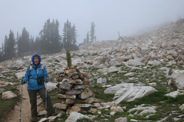
The first mile or so of trail was well defined making these cairns unnecessary. However they would come in handy later in the day.
For us, this was rugged and challenging hiking. The combination of elevation, steep slopes and weather kept us huffin' and puffin'. We had to take frequent, short breaks to catch our breath and let our heart rates get back to something approaching normal.
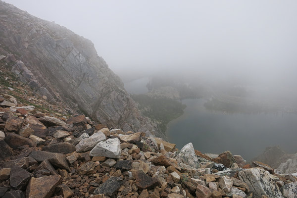
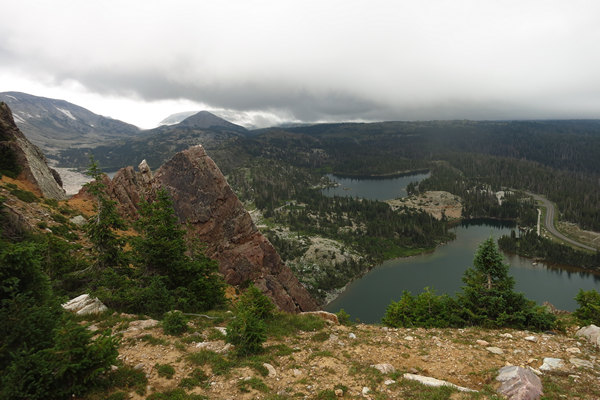
At one point the trail takes a hairpin turn which comes right up to the edge of a rock wall on the north side of Lake Marie. The upper lake here is Mirror Lake.
You had to be there to appreciate the stunning, albeit cloud enshrouded views.
For just a wee bit the sky brightened and totally transformed the landscape. But it did not last.
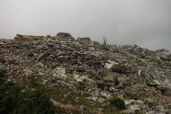
I call this a "Kammer Moment". That is a moment when I wish I had geologists Tom or Heidi Kammer on hand to tell me just how the hell all these rocks ended up laying about everywhere.
My (semi-educated) guess? A cataclysmic explosion which sent millions of cubic yards of rock over who knows how many square miles. For me, this is a bit mind bending to think about and seems fantastical. But how else can it be explained? If my guess is wrong I am sure I will get an email (or two) setting me straight.
We not only have the rocks upon rocks to puzzle about but one would also have to wonder how many years it would take to build up enough soil for the plants to get a hold and actually thrive. Amazing.
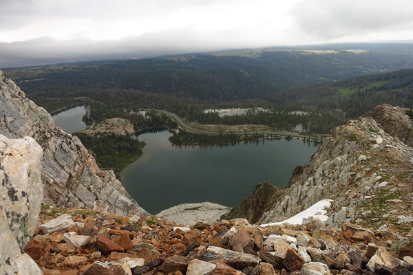
We saw several other lakes on the climb to the peak. We had no idea there were so many lakes in these here parts.
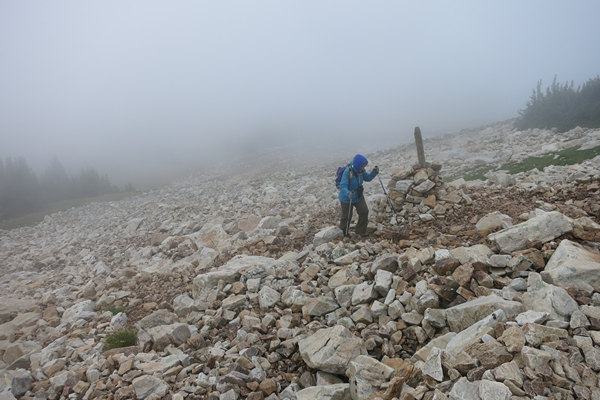
This sign post seemed to me to be out in the middle of nowhere. I do not recall seeing a trail junction which was official or otherwise.
Although it was still cool and breezy the exertion had warmed us up and we had doffed some of our layers to compensate.
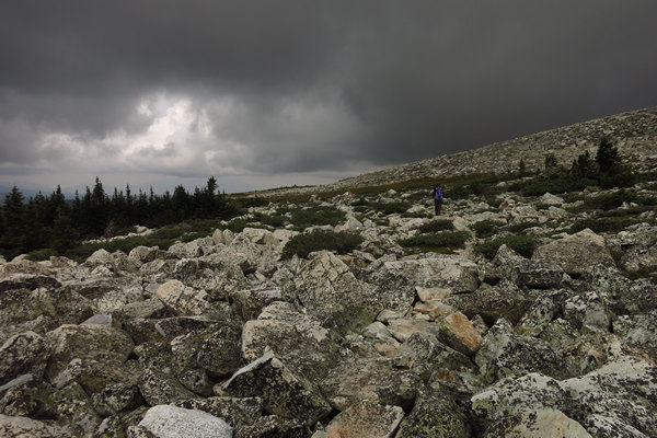
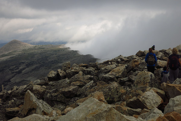
There was a point on the trail where it pretty much turned into an all rock surface. This varied from many fist sized, loose rocks to boulder hopping. This slowed us down as neither of us wanted a sprained ankle or cracked head at this particular point in time.
A more distant shot of Betsy to give you an idea of the size of some of the boulder fields we crossed. It was tedious, but beautiful.
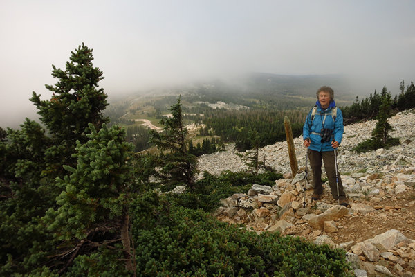
The trail continued over larger areas of boulders interspersed with rocky alpine meadows. Then it started a series of steep climbs with some switch backs and finally a short steep exposed section which brought us to the summit and an elevation of 12,000'.
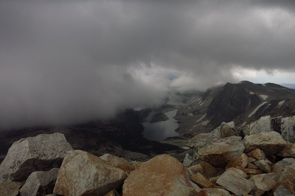
Here is one of our fabulous views from the summit.
A closer, but fleeting look down from whence we came.
In just a minute or two the view was totally obscured and stayed that way until we left the peak.
This is the view looking east (?). I loved how the clouds were hitting the wall and then being blown off and away from the summit.
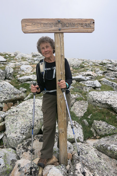
Betsy - the intrepid Mountaineer!
We had planned to stay on the summit long enough to eat and get rested up but it was just cool and windy enough to make us change our minds and we started back down the mountain.
On the way back down, the trail presented the same challenges, but in reverse. Great care had to be taken to keep our balance and watch our footing as we descended the steeper sections. It was not long before I had "sewing machine legs" which is an uncontrollable trembling of the legs brought on by fatigue. I first heard this term back in the 80s from my climbing and caving mentor Geary Schindel. It is aptly name because your legs jerk up and down like the needle bar on a sewing machine.
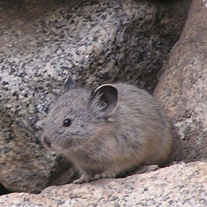
We also saw and heard numerous Pika on the way down. They had kept us company on the way up and provided some much need comic relief during our more exhausted moments.
A pica is a small mammal, with short limbs, very round body, rounded ears, and no external tail. They resemble their close cousin the rabbit, but with shorter ears. They live in mountainous countries in Asia, with two species also in North America. Most pikas prefer rocky slopes.
Pikas have distinct calls that vary in duration. The call can either be short and quick, a little longer and more drawn out, or they can be songs. The short calls are an example of geographic variation. The pikas determine the appropriate time to make short calls by listening for cues for sound localization. The calls are used as either a warning signal or as a way to attract the opposite sex.
Source: WikiPedia
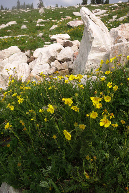
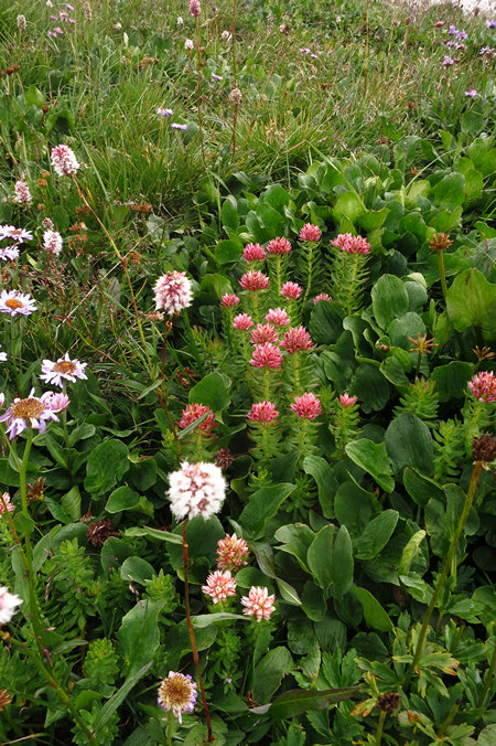
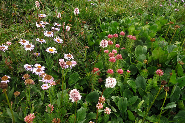
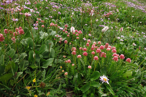
About halfway down the mountain we again passed these beautiful wild flowers which I now took the time to take a few snaps of.
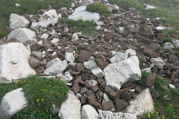
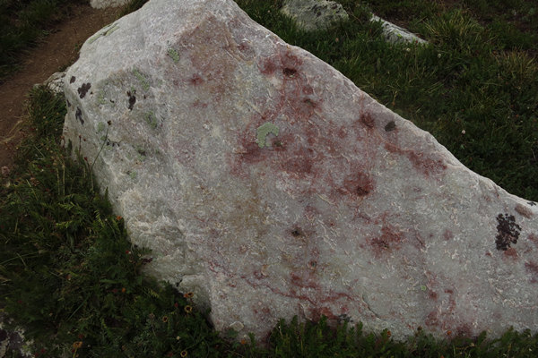
A few of the rocks had a reddish/pinkish coloration. Caused by...?
Here we are back at the exposed switch back. There had been some clearing, but as usual, that was not to last.
Quite the view.
Another example of a stunted and dwarfed group of Englemann Spruce.
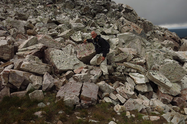
We loved all the rocks! Amazing.
Here I am with my Pet Rock.
It seems as if I have turned into a Rock Hugger!
It was not long after this the skies darkened and the wind picked up. We started hearing "pinging" sounds all around us. Soon we realized we were being pelted with BB sized hail and lots of it. The hail size increased as did the amount. We hoped it would not get much larger as it was starting to sting. Although a discomforting surprise to us, we both decided this was better than rain.
As quickly as it came the hail was gone and we could once again drop our hoods and take in the views.
Once again the clouds are descending over Mirror and Marie Lakes.
It was amazing to watch the swirling, moving clouds opening and closing the view as we stood there.
Not long after this we could see the road and parking lot. As we moved down the flowered switch backs I took a few more snaps.
The blue flowers upslope of the yellow ones are Bluebells which bloom in April and May back home in West Virginia.
It took me a while to remember what these withered leaves and distinct seed capsules were - Avalanche Lily (Erythronium montanum). It is in the same genus as the Trout Lily (Erythronium americanum) which we have in West Virginia. Trout lily is yellow where as the Avalanche lily is white.
I first saw Avalanche lily - thousands of them - on my one and only road trip with my dad. That was back in the late 1970s.
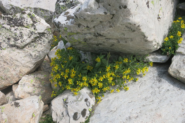
These interesting plants were near the bottom of the trail. I had not noticed them before and now took a coupla snaps.
They looked very familiar to me but I could not come up with a name.
And so we had reached the end of one of the most memorable, and certainly the most challenging hikes we had ever taken.
We were both looking forward to a beer and some grub and we were glad it was only a short distance to drive back to the cabin.
We had no sooner stowed our stuff and gotten on the road when out of nowhere came a torrential, nearly blinding down pour! We both thought about what it would have been like to be caught out in the open in this deluge. YIKES!
I thought about the young couple we had met on the way down who were just getting started and not at all dressed for the constantly changing weather. I wonder how they fared?
Soon the rain changed to hail and both the road surface and road bank were whitened by the hail. I have never done any driving on hail before and it was a bit dicey. I crawled along untill finally the rain returned and the road cleared.
Back at the cabin Betsy rustled us up a dinner of Dinty Moore stew and canned green beans.
I had started a fire in the wood stove and we sat there in silence devouring our meal.
Afterwards we bundled back up and moved to the porch to sit and "it was blissfully quiet" as Betsy's cousin Pete had described a recent camping experience.
It was not long before we both started nodding off and decided to hit the hay.
We did not arise until 12 hours later. Twelve hours in the sack! That has not happened since our wedding night.
What a day...
Seeya,
~Mike and Betsy
